MyTopo
Classic USGS Pulaski New York 7.5'x7.5' Topo Map
Couldn't load pickup availability
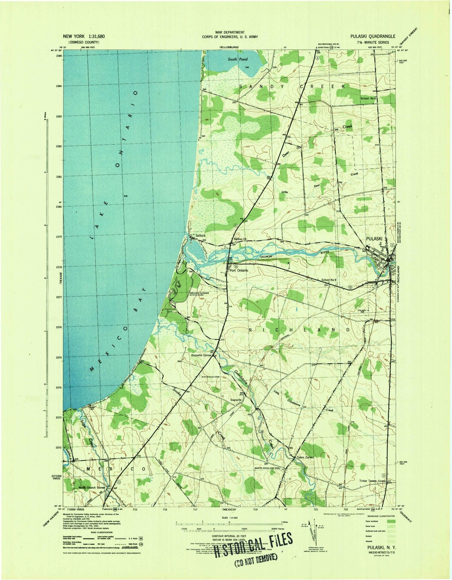
Historical USGS topographic quad map of Pulaski in the state of New York. Map scale may vary for some years, but is generally around 1:24,000. Print size is approximately 24" x 27"
This quadrangle is in the following counties: Oswego.
The map contains contour lines, roads, rivers, towns, and lakes. Printed on high-quality waterproof paper with UV fade-resistant inks, and shipped rolled.
Contains the following named places: Academy and Central School, Alder Creek, Barnard Cemetery, Bethel Church, Bethel Corners, Black Hole, Brennan Beach Mobile Home Park, Brennan Beach Recreational Vehicle Park, Brown's Landing Cemetery, Daysville, Daysville Cemetery, Daysville Corner, Deer Creek, Deer Creek Marsh, Farmers Corner, First Baptist Church, First Congregational Church, First Methodist Church, Grays Gardens And Greenhouses, Grindstone Creek, Hurlbut Orchards, Kallet Theatre, Kidder Field, Lapointe Manor Mobile Home Park, Lighthouse Marina, Little Deer Creek, Little Grindstone Creek, Malby Corners, Mud Creek, New York State Park Police, North Church Corner, Port Ontario, Pulaski, Pulaski Assembly of God, Pulaski Fire Department, Pulaski Municipal Building, Pulaski Post Office, Pulaski Public Library, Pulaski Seventh Day Adventist Church, Pulaski Village Sewage Treatment Plant, Pulaski Wesleyan Church, Rainbow Shores, Ramona Beach, Randall House, Ringgold Fire Company 1, Sage Creek, Saint James Episcopal Church, Saint John's Roman Catholic Church, Salmon River, School Number 6, School Number 9, Selkirk, Selkirk Lighthouse, Selkirk Shores State Park, Snake Creek, South Pond, South Richland Cemetery, The Pines Golf Course, Tinker Tavern Corner, Town of Richland, Trust Nursery, Tylers Corner, Village of Pulaski, WSCP-AM (Sandy Creek-Pulaski), ZIP Code: 13142


