MyTopo
Classic USGS Pulaski Tennessee 7.5'x7.5' Topo Map
Couldn't load pickup availability
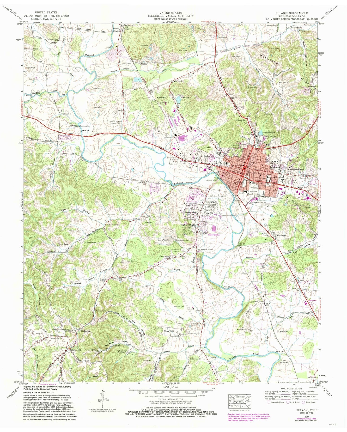
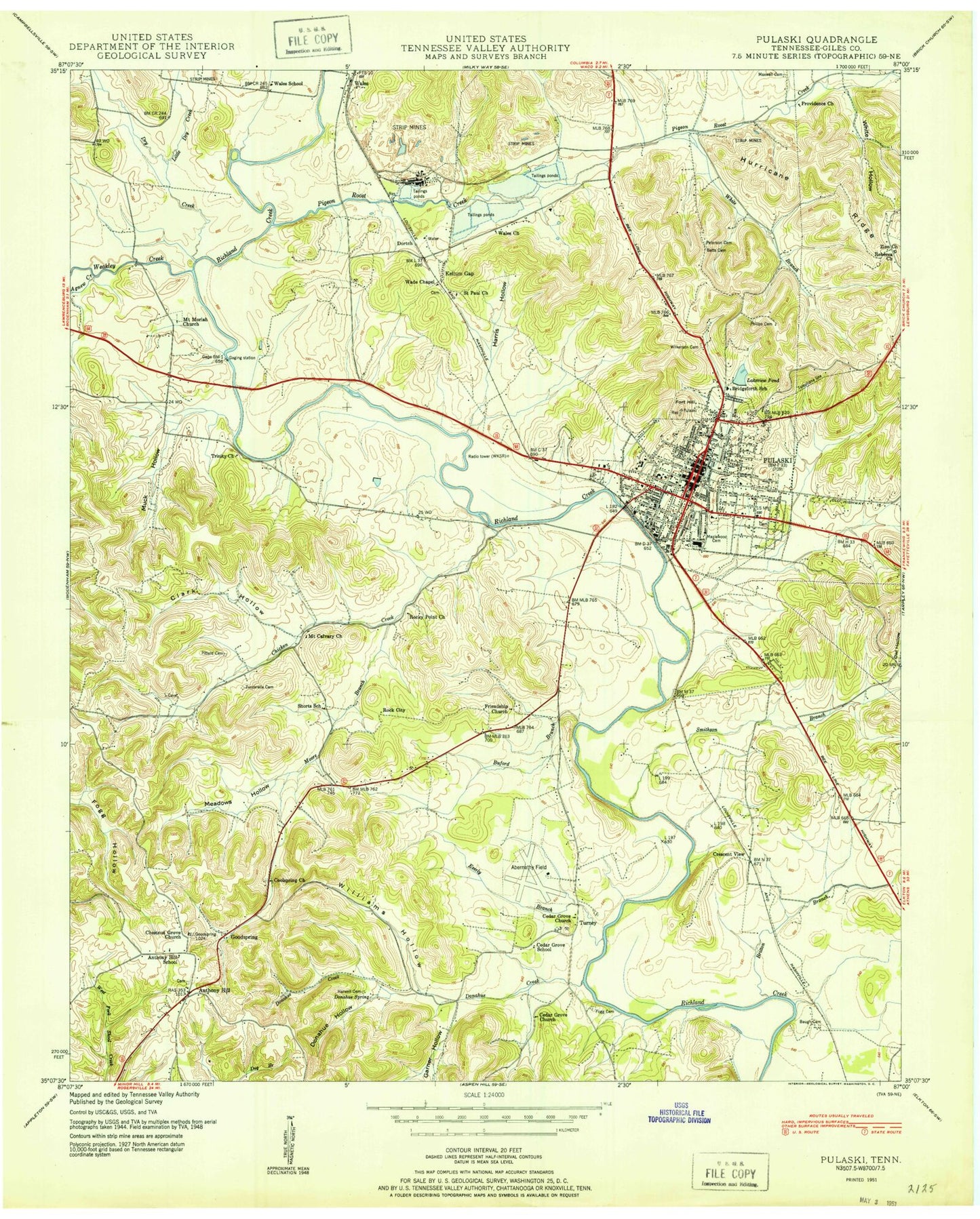
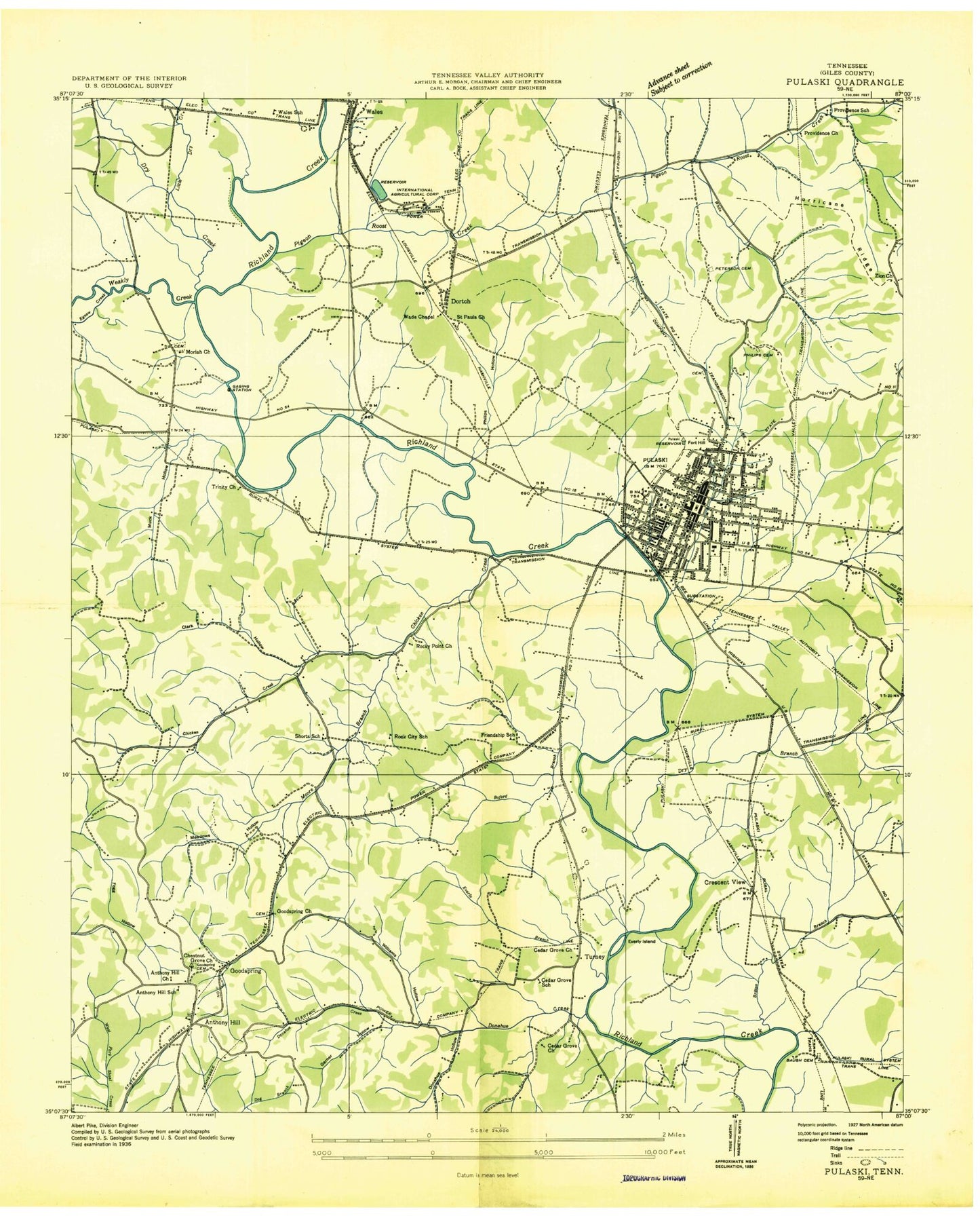
Historical USGS topographic quad map of Pulaski in the state of Tennessee. Map scale may vary for some years, but is generally around 1:24,000. Print size is approximately 24" x 27"
This quadrangle is in the following counties: Giles.
The map contains contour lines, roads, rivers, towns, and lakes. Printed on high-quality waterproof paper with UV fade-resistant inks, and shipped rolled.
Contains the following named places: Abernathy Field, Abernathy Lake, Adams Cemetery, Agnew Creek, Anthony Hill, Anthony Hill Cemetery, Anthony Hill Church, Anthony Hill School, Batts Cemetery, Baugh Cemetery, Beulah Baptist Church, Bridgeforth Middle School, Britton Branch, Buford Branch, Campbell Chapel African Methodist Episcopal Church, Cantrell Cemetery, Cave Springs Park, Cedar Grove Church, Cedar Grove School, Chapmans, Chestnut Grove Cemetery, Chestnut Grove Church, Chicken Creek, Church of God, Church of the Messiah Episcopal Church, City of Pulaski, Clark Hollow, Cole, Commissioner District 6, Commissioner District 7, Cool Spring Cemetery, Cool Spring Church, Crescent View, Donahue Branch, Donahue Hollow, Donahue Spring, Dry Creek, East Hill Church of Christ, Ebenezer Church, Echo Lake, Echo Lake Dam, Everly Branch, Everly Island, Fairview Church, Ferrel Cemetery, First Baptist Church, First Presbyterian Church, First United Methodist Church, Fogg Cemetery, Fort Hill, Friendship Church, Friendship School, Garner Hollow, Giles County, Giles County Ambulance Service - Main Station, Giles County Courthouse, Giles County Fire and Rescue Department - Pulaski, Giles County Fire and Rescue Squad - Anthony Hill, Giles County High School, Giles County Hospital, Giles County Sheriff's Department, Giles Memorial Gardens, Glendale Estates, Goodspring, Goodspring Post Office, Gordon, Green Acres, Green Acres Shopping Center, Green Field, Greggs Mill, Harwell Cemetery, Highland Church, Highland Heights, Hillcrest Golf and Country Club, Kellum Cemetery, Kellum Gap, Kellums Gap Cemetery, Kings Mountain, Lakeview Lake Dam, Lancelot Acres, Little Dry Creek, Magazine Road Park, Maplewood Cemetery, Marks Cemetery, Martin Methodist College, Maxwell Cemetery, Meadows Hollow, Meredith Cemetery, Mount Calvary Church, Mount Moriah Cemetery, Mount Moriah Church, Muck Hollow, North End Park, Old Friendship Cemetery, Old Graveyard Memorial Park Cemetery, Old Mount Zion Baptist Church, Owl Hollow, Patterson Cemetery, Peterson Cemetery, Phillips Cemetery, Phillips Hollow, Pigeon Roost Creek, Pittard Cemetery, Pleasant Run Creek, Pleasant Run Park, Pointer Cemetery, Providence Church, Providence School, Pulaski, Pulaski Area Vocational Technical School, Pulaski City Hall, Pulaski Division, Pulaski Elementary School, Pulaski Fire Department Station 2, Pulaski Fire Services Station 1, Pulaski Police Services, Pulaski Post Office, Pulaski Sewage Treatment Plant, Pulaski-Giles County Industrial Par, Rebecca Church, Rebel Acres, Reynolds Branch, Reynolds Cemetery, Richland Park, Rock City School, Rocky Point Cemetery, Rocky Point Church, Saint Andrew Memorial Church, Saint Paul Church, Sam Davis Park, Second Street Church of Christ, Short Cemetery, Shorts School, Smithson Branch, South Patterson Park, Southern Tennessee Regional Health System Pulaski, Terry Estates, Town Springs, Trinity Church, Turner Park, Turney, Vaughan Bridge, Victoria Park, Village Square Shopping Center, Wade Chapel, Wales, Wales School, Washington Heights Park, Weakley Creek, West Hill School, White Branch, White Cemetery, White Hollow, Whites Church, Wilkinson Cemetery, WKSR-AM (Pulaski), WMGL-FM (Pulaski), York Cemetery, York Hollow, Zuccarella Cemetery, ZIP Code: 38478


