MyTopo
Classic USGS Pullman Texas 7.5'x7.5' Topo Map
Couldn't load pickup availability
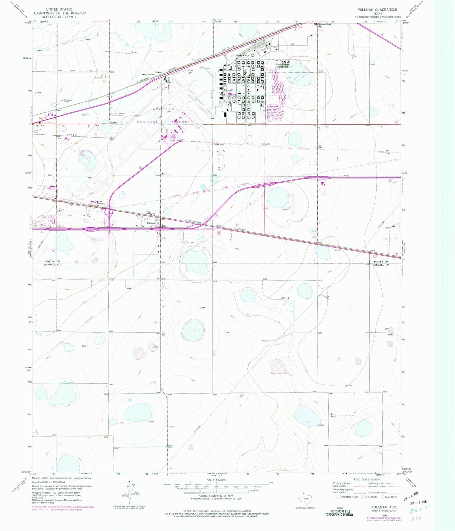
Historical USGS topographic quad map of Pullman in the state of Texas. Map scale may vary for some years, but is generally around 1:24,000. Print size is approximately 24" x 27"
This quadrangle is in the following counties: Potter, Randall.
The map contains contour lines, roads, rivers, towns, and lakes. Printed on high-quality waterproof paper with UV fade-resistant inks, and shipped rolled.
Contains the following named places: Amarillo Air Force Base, Amarillo Army Air Field, Amarillo Fire Department Station 10, Folsom, KDJW-AM (Amarillo), Potter County Detention Center, Potter County Sheriff's Office, Pullman, Rick Husband Amarillo International Airport, Rico Aviation - Air Ambulance, Texas Department of Criminal Justice Nathaniel J Neal Unit, Texas Department of Criminal Justice William P Clements Unit, United States Border Patrol Substation, ZIP Code: 79111