MyTopo
Classic USGS Pullman Washington 7.5'x7.5' Topo Map
Couldn't load pickup availability
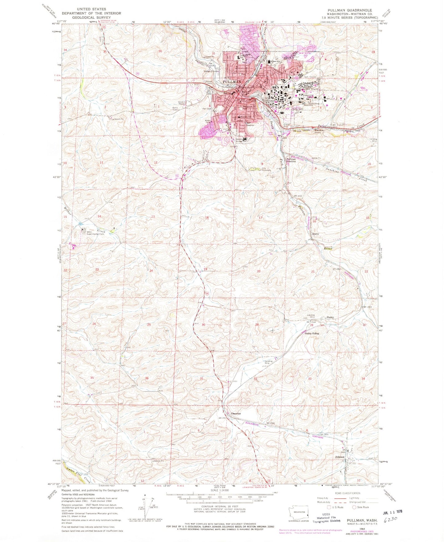
Historical USGS topographic quad map of Pullman in the state of Washington. Typical map scale is 1:24,000, but may vary for certain years, if available. Print size: 24" x 27"
This quadrangle is in the following counties: Whitman.
The map contains contour lines, roads, rivers, towns, and lakes. Printed on high-quality waterproof paper with UV fade-resistant inks, and shipped rolled.
Contains the following named places: Paradise Creek, Edison School, Farr Cemetery, Missouri Flat Creek, Rogers Field (historical), Staley Siding, Sunshine Creek, Washington State University, Woodcroft Park, Busby, Pullman Junction, Staley, Whitlow, Wilma (historical), Johnson, Wheatland Shopping Center, Royal Garrison School, Pullman High School, Sunnyside Elementary School, Pullman Christian School, Franklin Elementary School, Jefferson Elementary School, Lincoln Middle School, Pullman, Staley Airport (historical), KQQQ-AM (Pullman), KWSU-AM (Pullman), KZUU-FM (Pullman), Chambers, Pullman Division, City of Pullman, Pullman Fire Department Station 31, Pullman Regional Hospital, Whitman County Fire District 12 Station 12 - 2, Whitman County Fire District 12 Station 12 - 1, Pullman Police Department, Pullman City Cemetery, Pullman Post Office