MyTopo
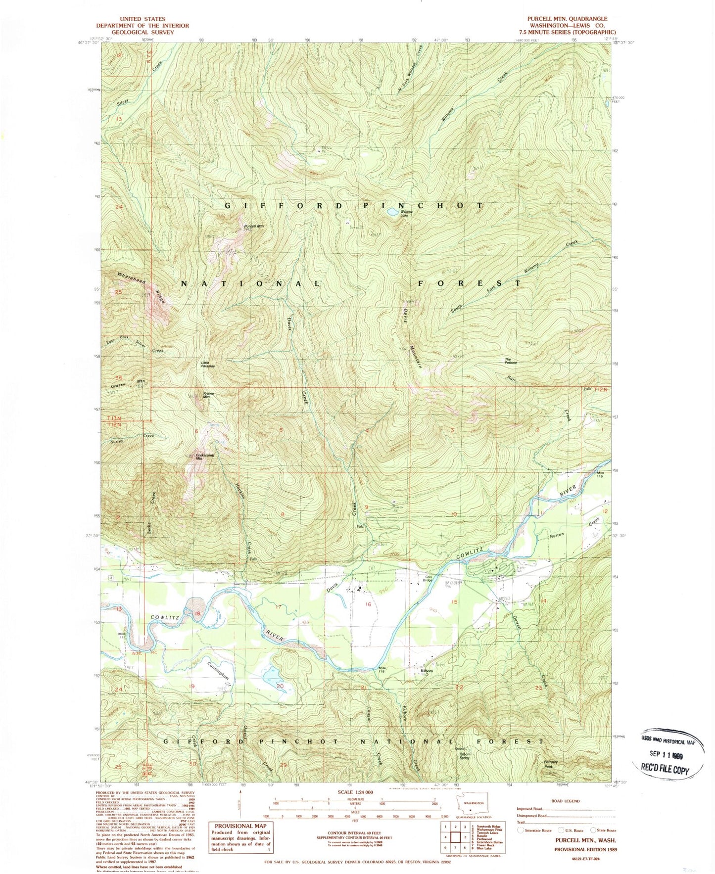
Classic USGS Purcell Mountain Washington 7.5'x7.5' Topo Map
Couldn't load pickup availability
Historical USGS topographic quad map of Purcell Mountain in the state of Washington. Map scale may vary for some years, but is generally around 1:24,000. Print size is approximately 24" x 27"
This quadrangle is in the following counties: Lewis.
The map contains contour lines, roads, rivers, towns, and lakes. Printed on high-quality waterproof paper with UV fade-resistant inks, and shipped rolled.
Contains the following named places: Burton Creek, Cockscomb Mountain, Cora, Cora Bridge, Cougar Creek, Cunningham Creek, Davis Creek, Davis Mountain, Davis Mountain Trail, Garrett Creek, Grassy Mountain, Hopkin Creek, Karr Creek, Kilborn Creek, Kilborn Spring, Left Fork Owens Creek, Little Paradise, Maple Leaf Campground, Mullins Creek, Owens Creek, Pompey Peak, Pompey Peak Lookout, Prairie Mountain, Purcell Mountain, Purcell Mountain Trail, Purcell Slough, Right Fork Owens Creek, The Pothole, Whalehead Ridge, Willame Lake, Willame Trail