MyTopo
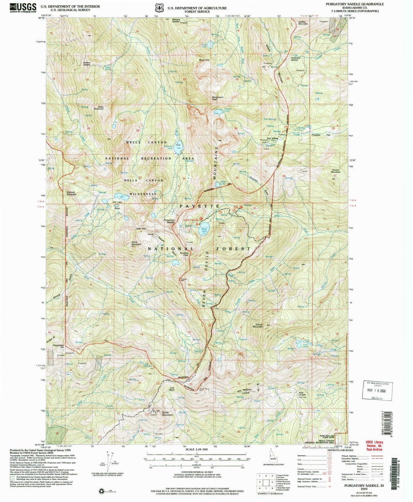
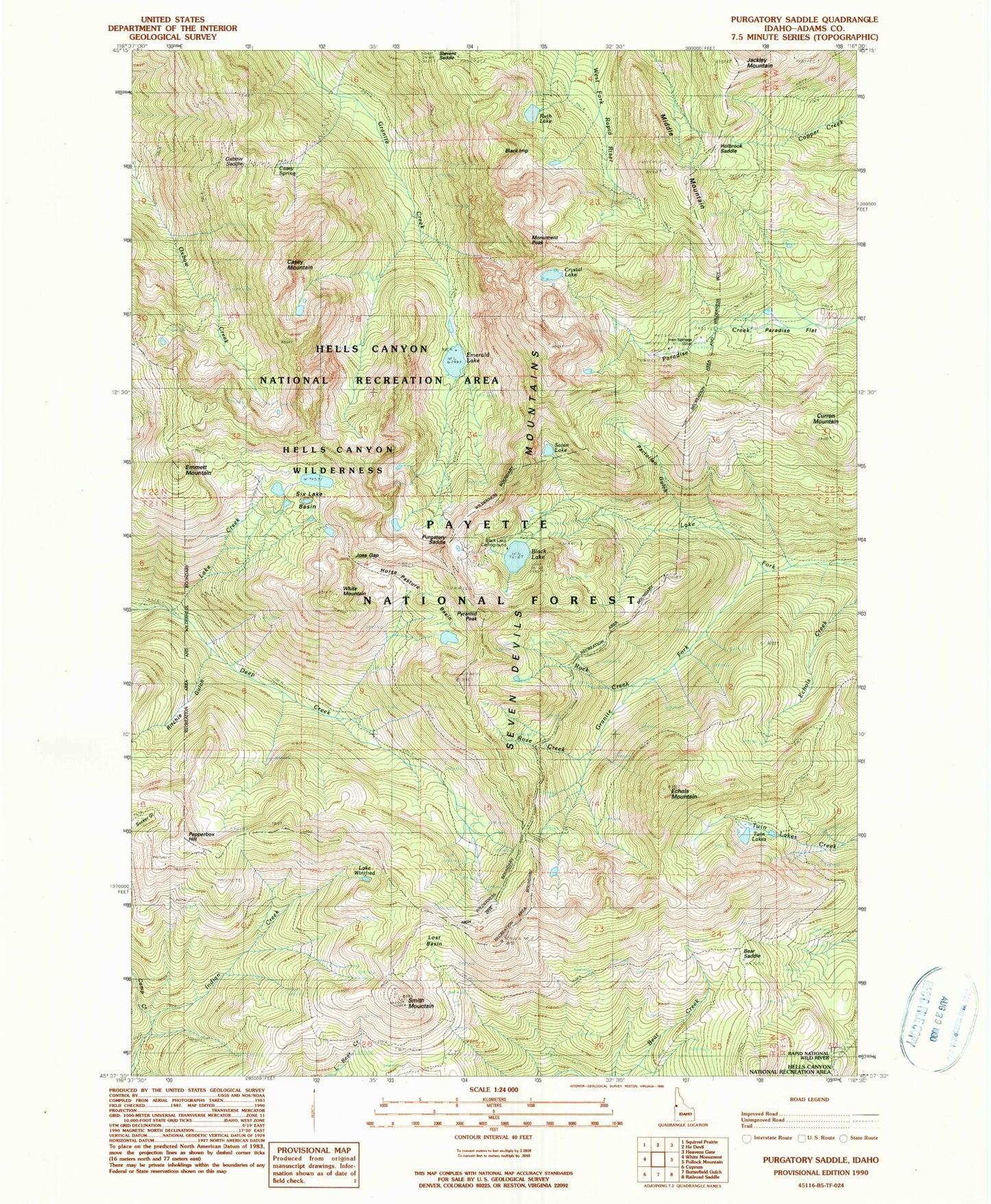
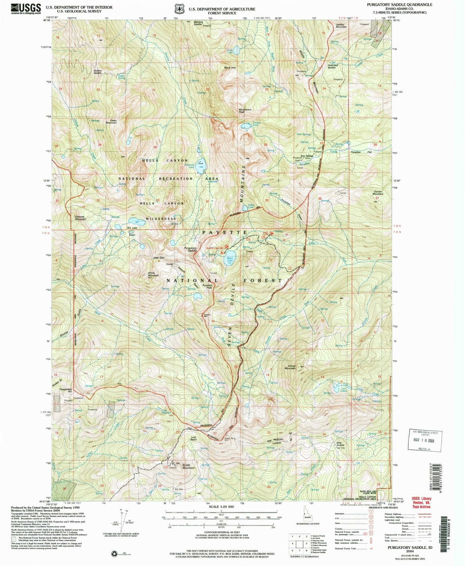
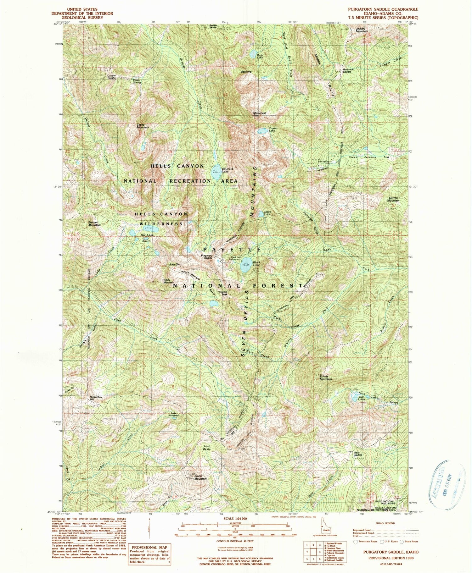
Classic USGS Purgatory Saddle Idaho 7.5'x7.5' Topo Map
Couldn't load pickup availability
Historical USGS topographic quad map of Purgatory Saddle in the states of Idaho, Oregon. Typical map scale is 1:24,000, but may vary for certain years, if available. Print size: 24" x 27"
This quadrangle is in the following counties: Adams.
The map contains contour lines, roads, rivers, towns, and lakes. Printed on high-quality waterproof paper with UV fade-resistant inks, and shipped rolled.
Contains the following named places: Crystal Lake, Six Lake Basin, Black Lake Campground, Bear Saddle, Black Lake, Camp Creek, Casey Mountain, Casey Spring, Deep Creek Trail, Emerald Lake, Emmett Mountain, Granite Fork, Holbrook Saddle, Horse Pasture Basin, Iron Springs, Jackley Mountain, Joes Gap, Lake Creek, Lost Basin, Middle Mountain, Monument Peak, Oxbow Saddle, Pactolian Gulch, Paradise Flat, Pepperbox Hill, Purgatory Saddle, Ritchie Gulch, Rock Creek, Rose Creek, Ruth Lake, Satan Lake, Smith Mountain, Twin Lakes, Lake Winifred, Rapid River Trail, Jackley Mountain Lookout, Black Imp, Curren Mountain, Echols Mountain, Pyramid Peak, White Mountain, Vermilion Forest Camp


