MyTopo
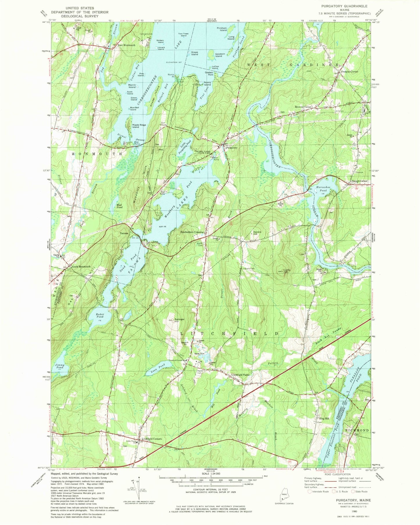
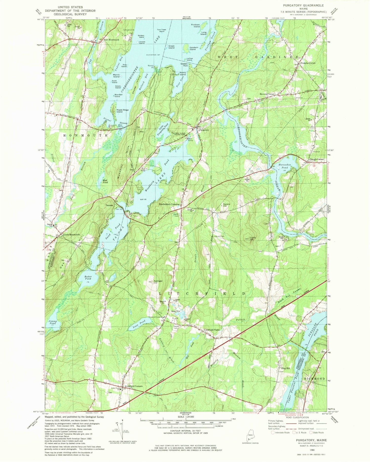
Classic USGS Purgatory Maine 7.5'x7.5' Topo Map
Couldn't load pickup availability
Historical USGS topographic quad map of Purgatory in the state of Maine. Typical map scale is 1:24,000, but may vary for certain years, if available. Print size: 24" x 27"
This quadrangle is in the following counties: Androscoggin, Kennebec, Sagadahoc.
The map contains contour lines, roads, rivers, towns, and lakes. Printed on high-quality waterproof paper with UV fade-resistant inks, and shipped rolled.
Contains the following named places: Ashford Brook, Ballard Bay, Black Ash Swamp, Blue Bell Island, Buker Pond, Cobbosseecontee Lake, Dennis Brook, Dennis Hill, Dilnow Brook, Dismal Swamp, East Monmouth, Goodwin Island, Grant Cemetery, Grape Island, Green Island, Horseshoe Pond, Jimmy Pond, Jock Stream, Jug Stream, LeClair Island, Libby Tozier School, Carrie Ricker Middle School, Litchfield Corners, Little Purgatory Pond, Long Island, Loon Pond, Lovers Island, Lunts Hill, Maple Ridge Island, Merrill Island, Mud Pond, Mud Pond, Norris Point, North Cemetery, Oak Hill, Pine Island, Pinkham Island, Pinkham Sound, Plains Cemetery, Potters Brook, Purgatory, Sand Pond, Scott Island, Sheep Island, South Bay, South Monmouth, Spears Corner, Springer Hill, Tacoma, Tacoma Lakes, Tacoma Lakes State Park, True Cove, Undine Bay, Upper Pleasant Pond, Woodbury Hills, Woodbury Pond, Batchelders Crossing, Browns Corner, Frenchs Corner, Litchfield Plains, Ring Hill, Town of Litchfield, Annabessacook Dam, Tacoma Lakes Dam, Mill Pond Dam, Mill Pond, Gilman Dam, Gilman Dam Pond, Collins Dam, Cobbosseecontee Stream Reservoir, West Gardiner Fire Department Station 1, Litchfield Central School, Litchfield Fire and Rescue Substation, Litchfield Central School (historical), East Monmouth Cemetery, Sampson Cemetery, Frost Cemetery, Goodwin Cemetery, Harriman Cemetery, Lyons Cemetery, Pease Cemetery, Purgatory Burial Ground, Robinson Cemetery, Fairbanks Cemetery, Smith Baker Cemetery, South Monmouth Cemetery, Town Farm Road Cemetery, Allard Cemetery, Helen Thompson School, Litchfield Post Office


