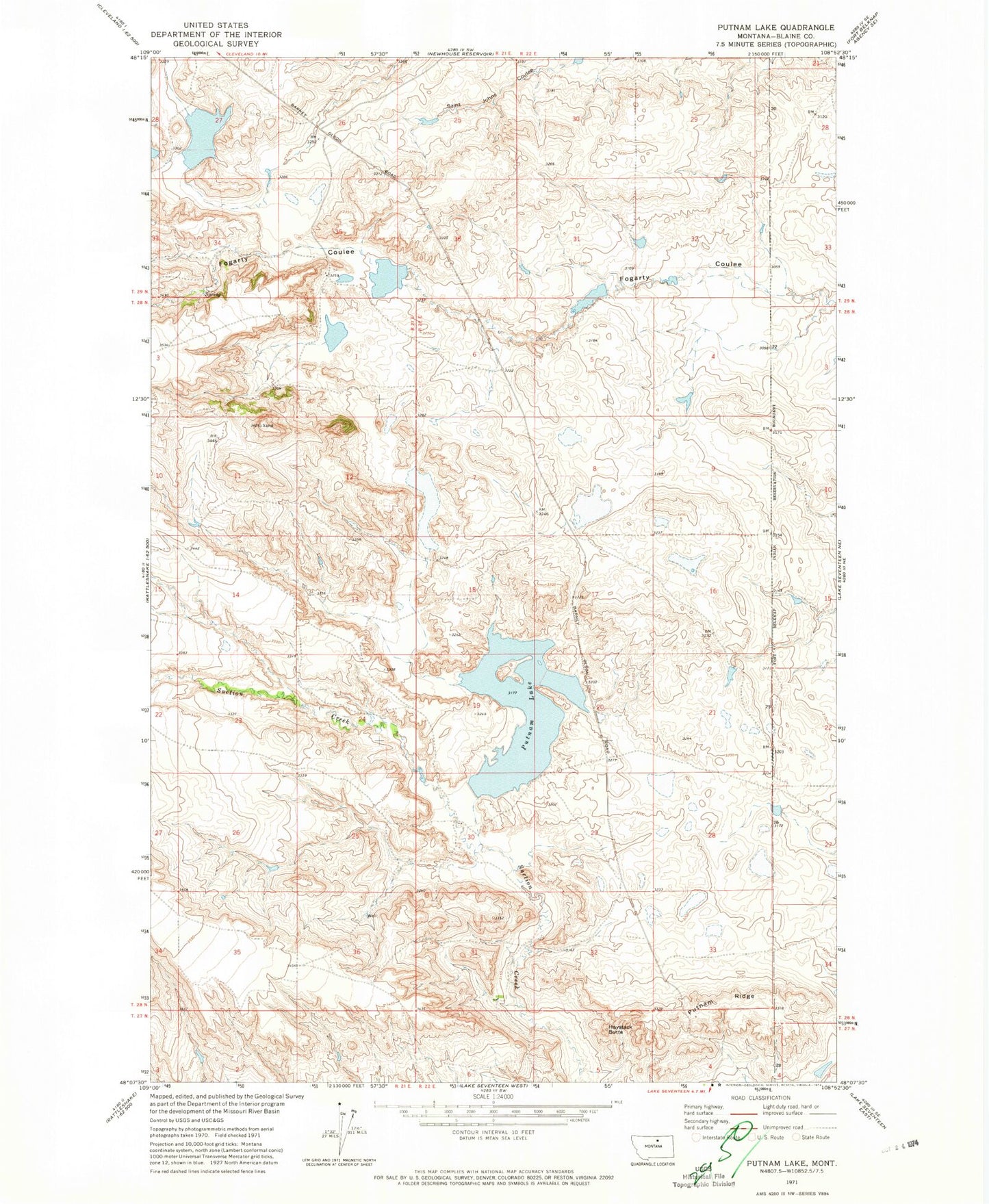
MyTopo
Classic USGS Putnam Lake Montana 7.5'x7.5' Topo Map
Regular price
$16.95
Regular price
Sale price
$16.95
Unit price
per
Couldn't load pickup availability
Historical USGS topographic quad map of Putnam Lake in the state of Montana. Map scale may vary for some years, but is generally around 1:24,000. Print size is approximately 24" x 27"
This quadrangle is in the following counties: Blaine.
The map contains contour lines, roads, rivers, towns, and lakes. Printed on high-quality waterproof paper with UV fade-resistant inks, and shipped rolled.
Contains the following named places: 28N21E36ABCD01 Well, Haystack Butte, Myrtle Creek, Olive Oil Dam, Putnam Lake, Putnam Ridge, Putnam School, Sandcliffs Post Office, Tiger Number 2 Dam, Wilson School