MyTopo
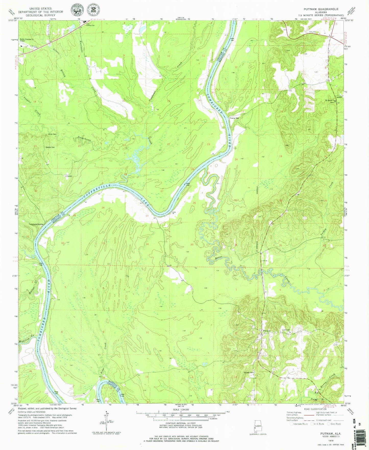
Classic USGS Putnam Alabama 7.5'x7.5' Topo Map
Couldn't load pickup availability
Historical USGS topographic quad map of Putnam in the state of Alabama. Map scale may vary for some years, but is generally around 1:24,000. Print size is approximately 24" x 27"
This quadrangle is in the following counties: Choctaw, Marengo.
The map contains contour lines, roads, rivers, towns, and lakes. Printed on high-quality waterproof paper with UV fade-resistant inks, and shipped rolled.
Contains the following named places: B L Turners Landing, Barneys Upper Landing, Barries Gin Landing, Bay Wash Landing, Blue Rock, Browns Landing, Butler-Choctaw County Airport, Cotahoma Creek, Crooked Creek, Democrat, Democrat Landing, East Choctaw High School, Gays Ferry, Gilmer Branch, Gooden Hill Church, Hornsboro, Horse Creek, Hurricane Creek, Jacksons Bend, Kansas, Lilly Grove Church, Magnolia Landing, Mellen Creek, Mount Mariah Cemetery, Mount Moriah Baptist Church, Pearsons Shoal, Perry Branch, Pineville Post Office, Pritchetts Landing, Putnam, Putnam Baptist Church, Putnam Cemetery, Putnam Census Designated Place, Putnam Elementary School, Putnam Volunteer Fire Department, Ridge Creek, Saint Mary United Methodist Church, Spencer Cemetery, Sucarbowa Creek, Sweetwater Creek, Turkey Creek, Turners, Tuscahoma Landing, Vaughn Creek, Wahalak Creek, Wahalak Landing, Walters Lower Landing, Walters Upper Landing, Waters Landing, White Cemetery


