
MyTopo
Classic USGS Puuhou Hawaii 7.5'x7.5' Topo Map
Regular price
$16.95
Regular price
Sale price
$16.95
Unit price
per
Couldn't load pickup availability
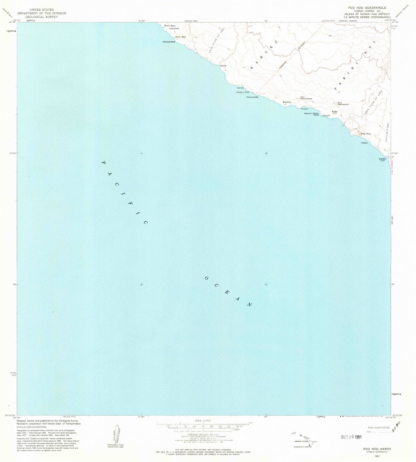
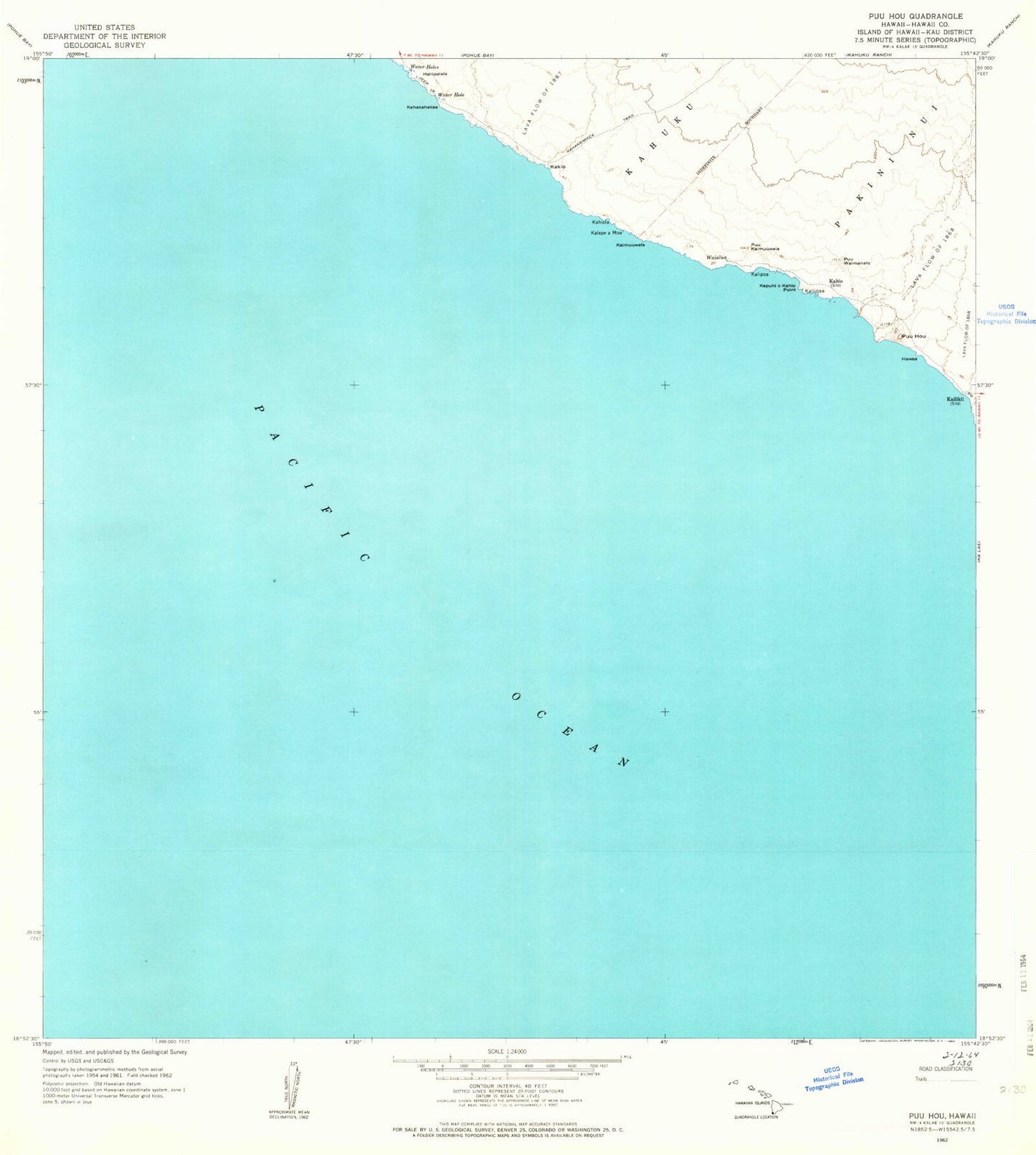
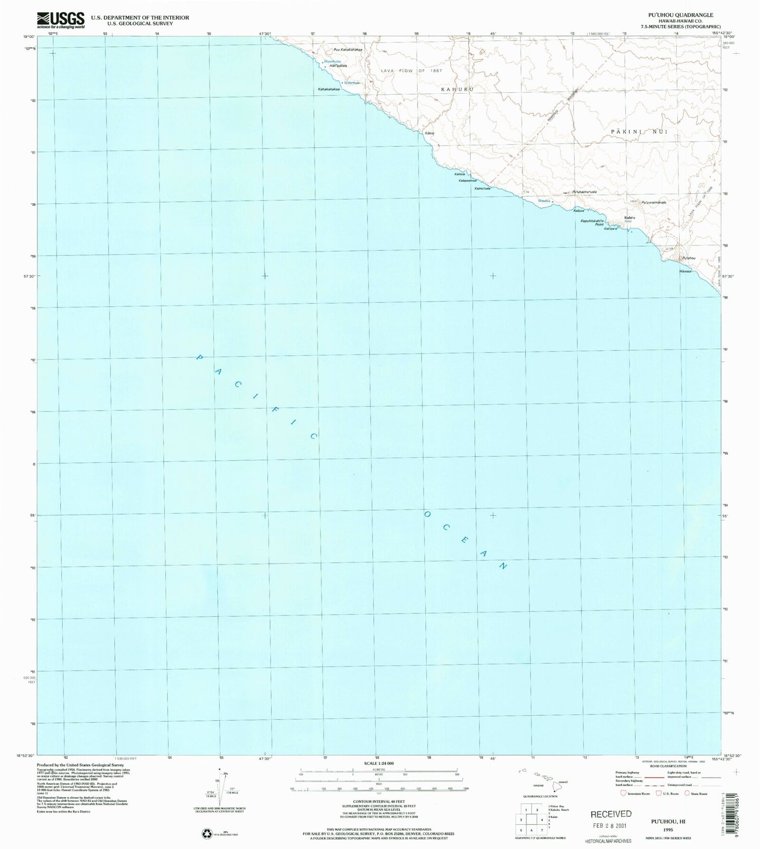
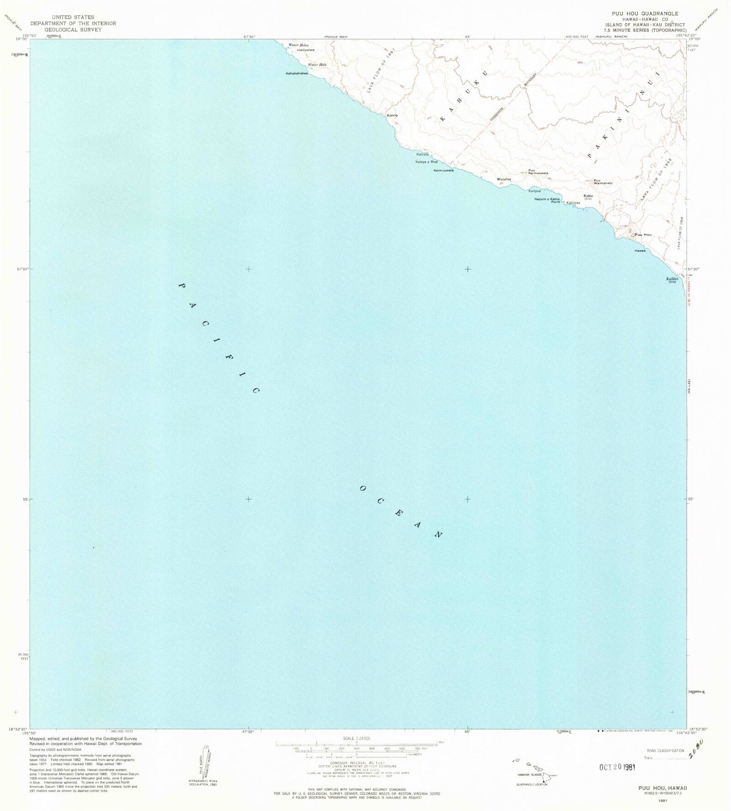
Historical USGS topographic quad map of Puuhou in the state of Hawaii. Map scale may vary for some years, but is generally around 1:24,000. Print size is approximately 24" x 27"
This quadrangle is in the following counties: Hawaii.
The map contains contour lines, roads, rivers, towns, and lakes. Printed on high-quality waterproof paper with UV fade-resistant inks, and shipped rolled.
Contains the following named places: Haliipalala, Hawea, Kahakahakea, Kahi'o, Kahiola, Ka'iliki'i, Ka'iliki'i Beach, Kaimu'uala, Kakio, Kalepeamoa, Kali'ipa'a, Kalipoa, Kepuhiokahi'o Point, Puu Kahakahakea, Pu'uhou, Pu'ukaimu'uala, Pu'ulohena, Pu'uwaimanalo, Waialua, Wai'o'ahukini