MyTopo
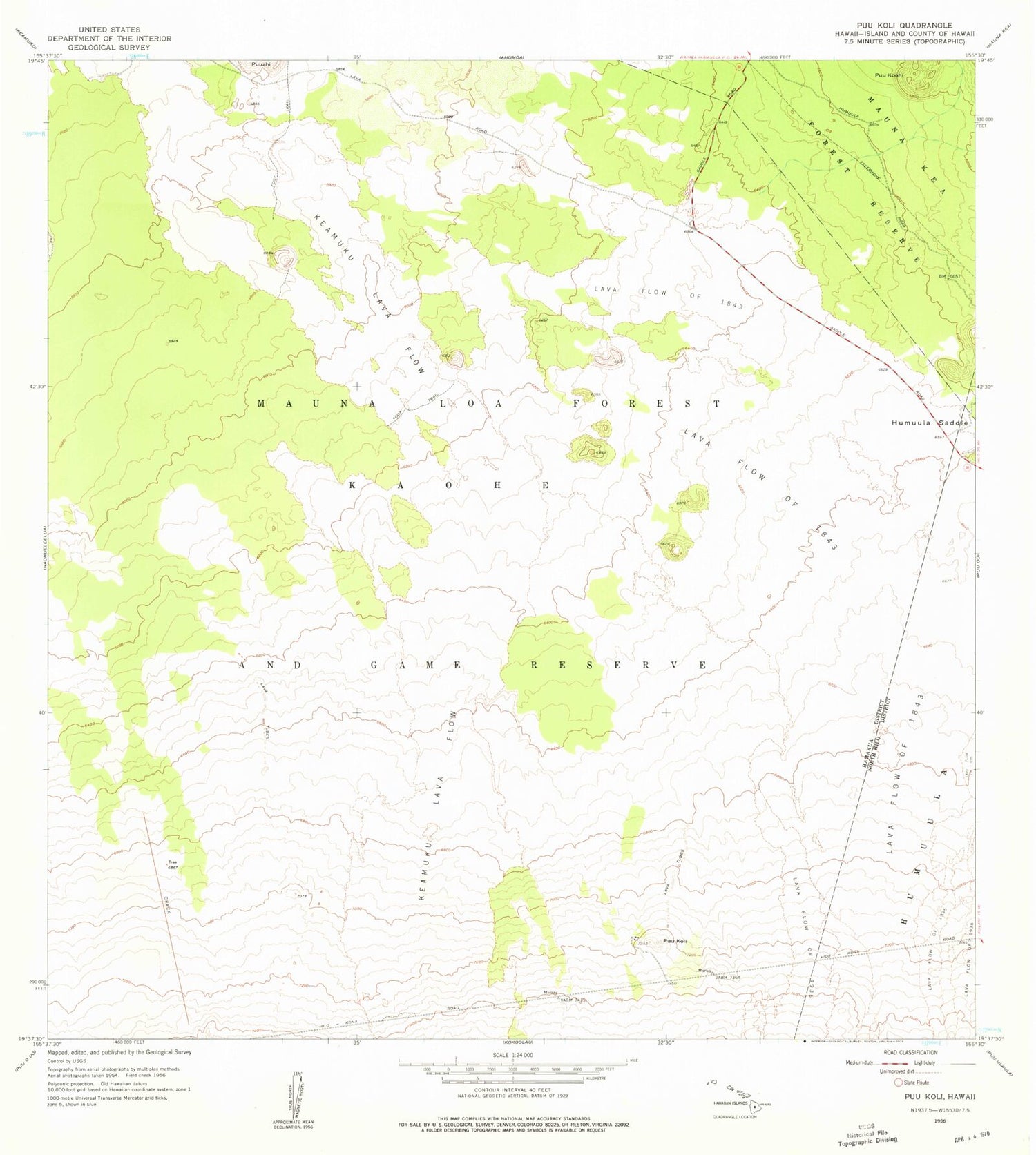
Classic USGS Puukoli Hawaii 7.5'x7.5' Topo Map
Regular price
$16.95
Regular price
Sale price
$16.95
Unit price
per
Couldn't load pickup availability
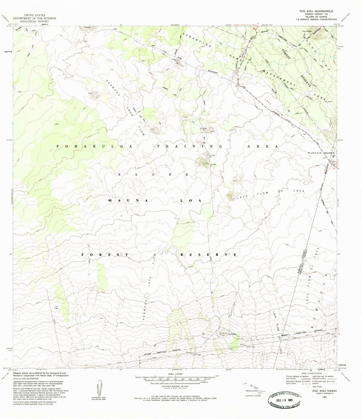
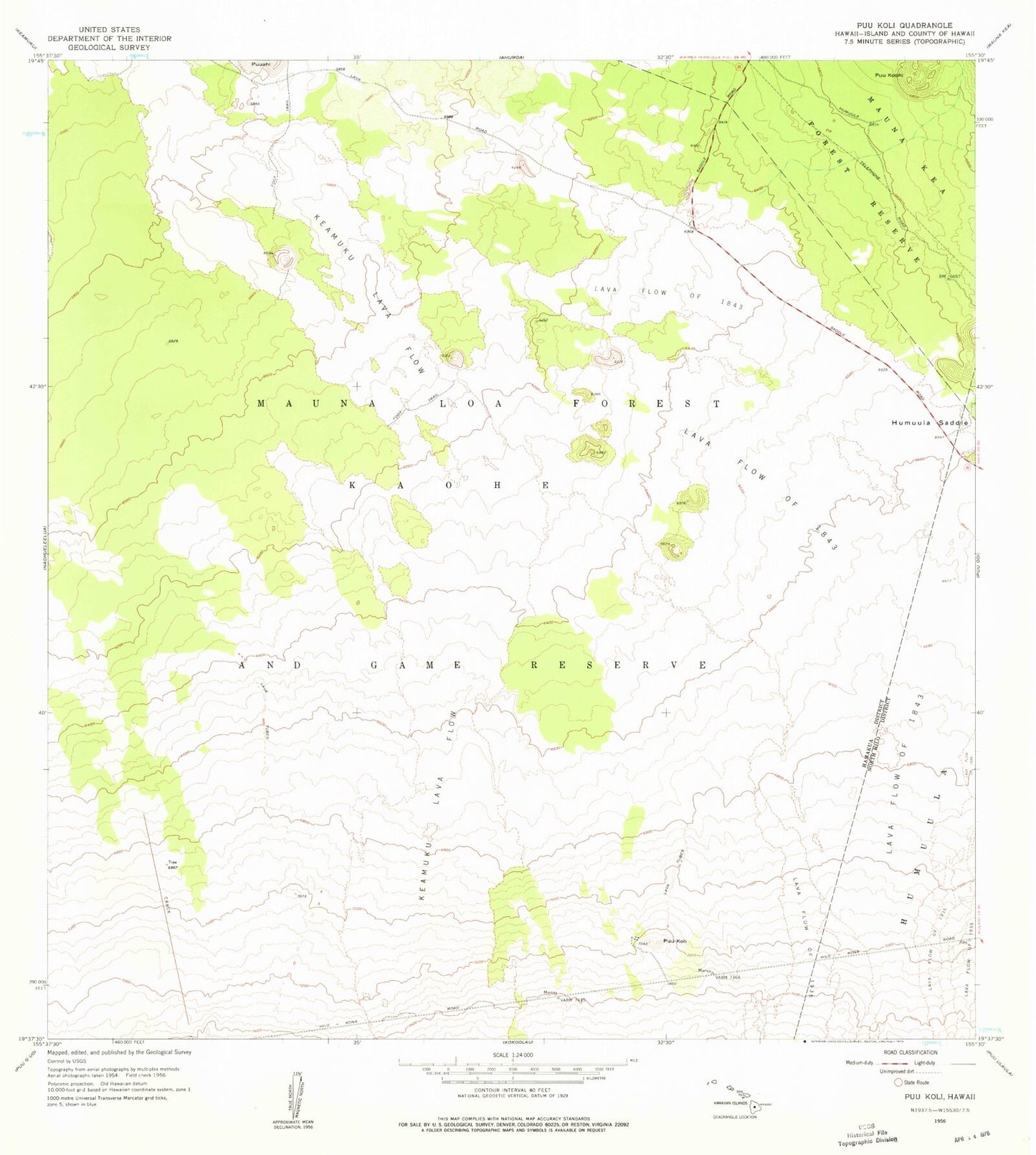
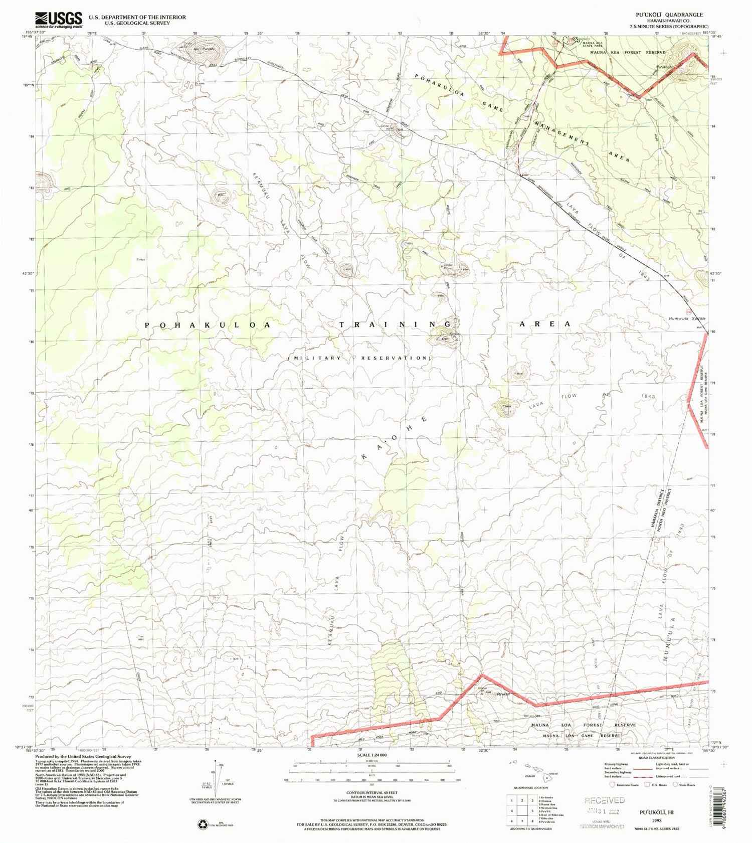
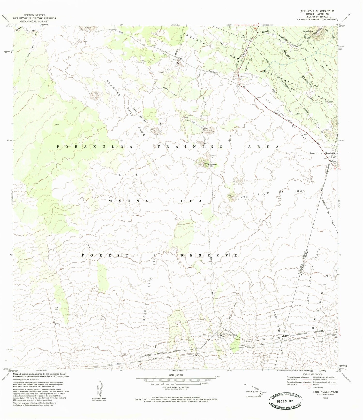
Historical USGS topographic quad map of Puukoli in the state of Hawaii. Map scale may vary for some years, but is generally around 1:24,000. Print size is approximately 24" x 27"
This quadrangle is in the following counties: Hawaii.
The map contains contour lines, roads, rivers, towns, and lakes. Printed on high-quality waterproof paper with UV fade-resistant inks, and shipped rolled.
Contains the following named places: Ka'ohe, Ke'amuku Lava Flow, Lava Flow of 1843, Pohakuloa Training Area, Pu'uahi, Pu'ukoli, Pu'uko'ohi, Waikahalulu Gulch