MyTopo
Classic USGS Puumakaala Hawaii 7.5'x7.5' Topo Map
Regular price
$16.95
Regular price
Sale price
$16.95
Unit price
per
Couldn't load pickup availability
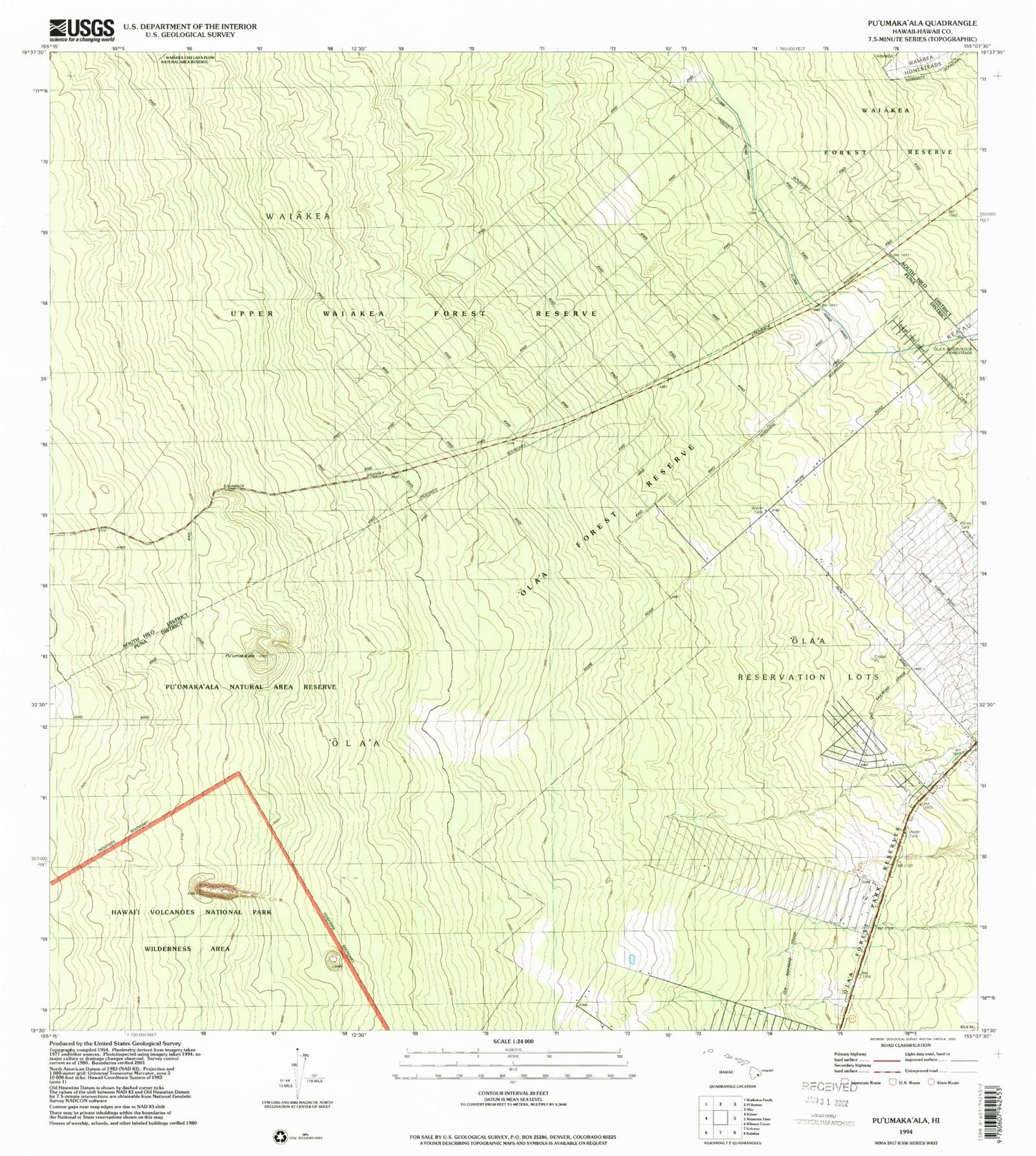
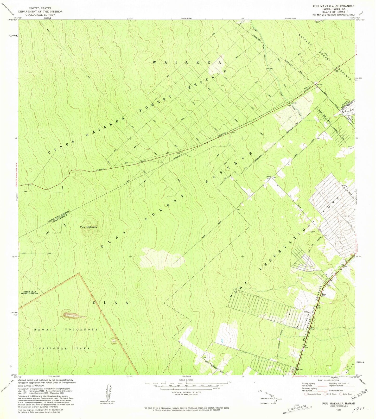
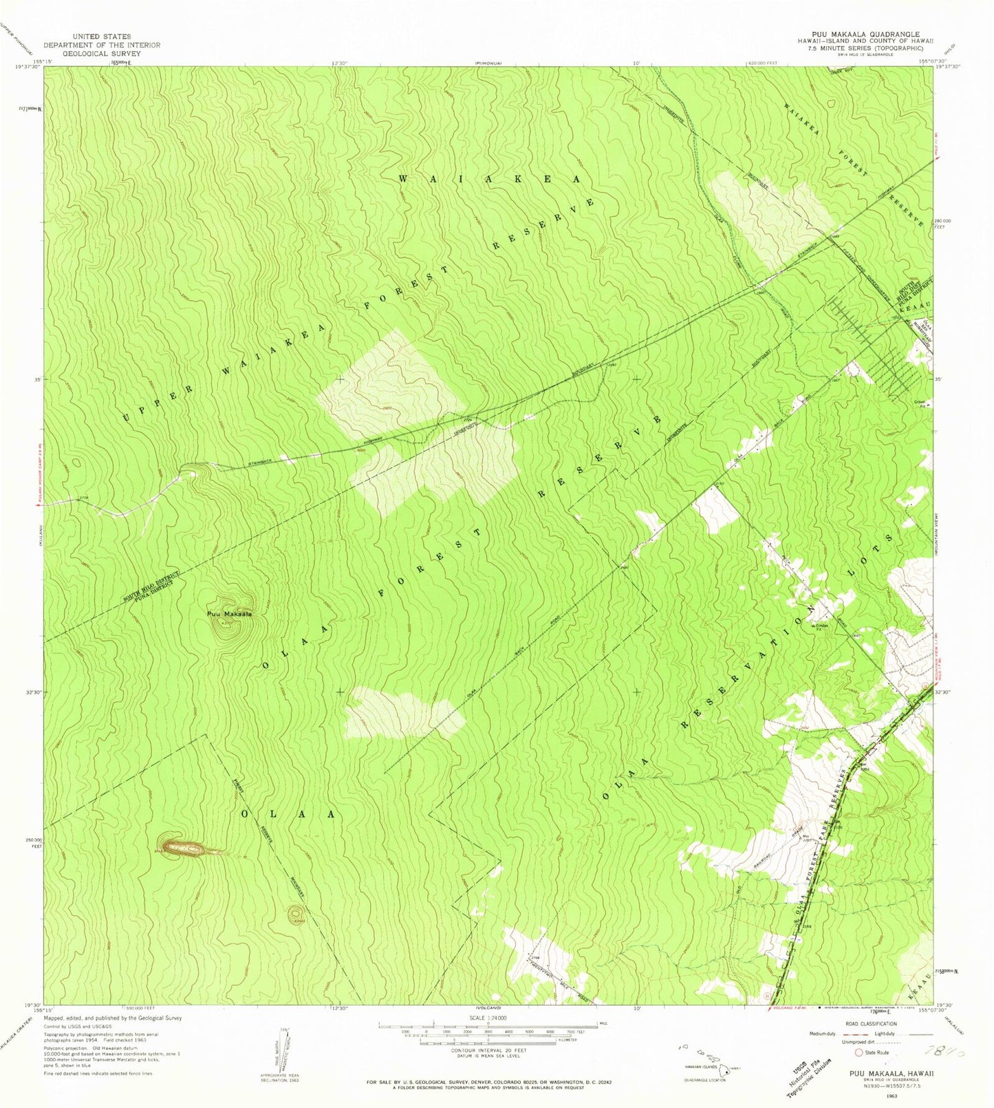
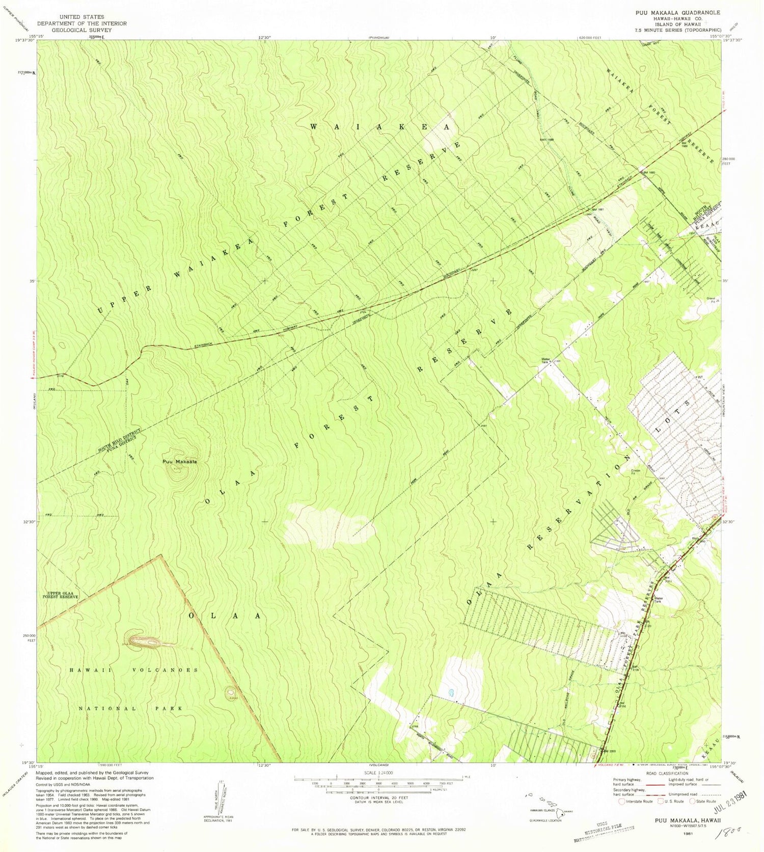
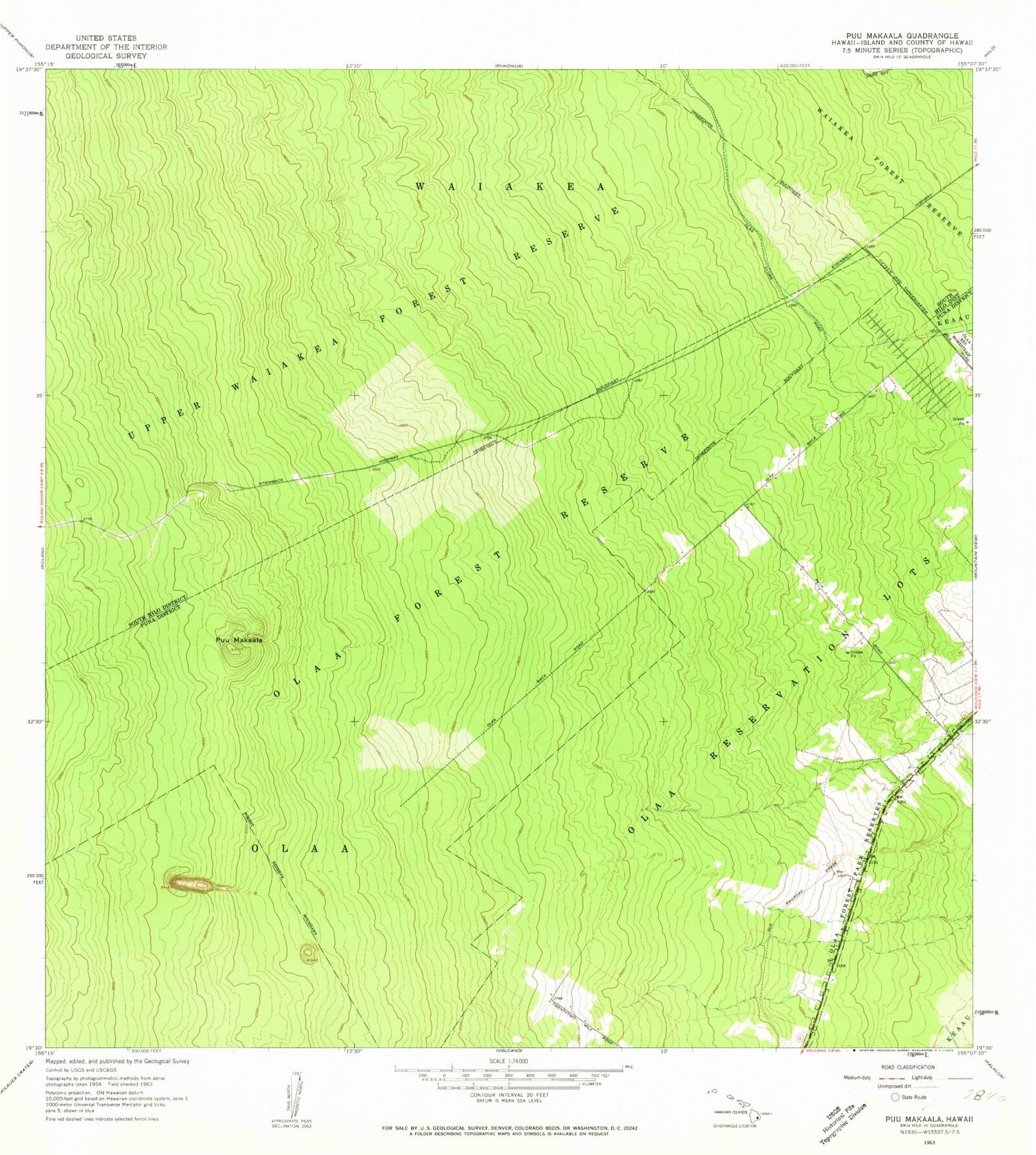
Historical USGS topographic quad map of Puumakaala in the state of Hawaii. Map scale may vary for some years, but is generally around 1:24,000. Print size is approximately 24" x 27"
This quadrangle is in the following counties: Hawaii.
The map contains contour lines, roads, rivers, towns, and lakes. Printed on high-quality waterproof paper with UV fade-resistant inks, and shipped rolled.
Contains the following named places: Eighteenmile Station, Lehua, Mountain View Census Designated Place, 'Ola'a Flume, 'Ola'a Forest Reserve, 'Ola'a Reservation Lots, Pu'umaka'ala