MyTopo
Classic USGS Pyatt Arkansas 7.5'x7.5' Topo Map
Couldn't load pickup availability
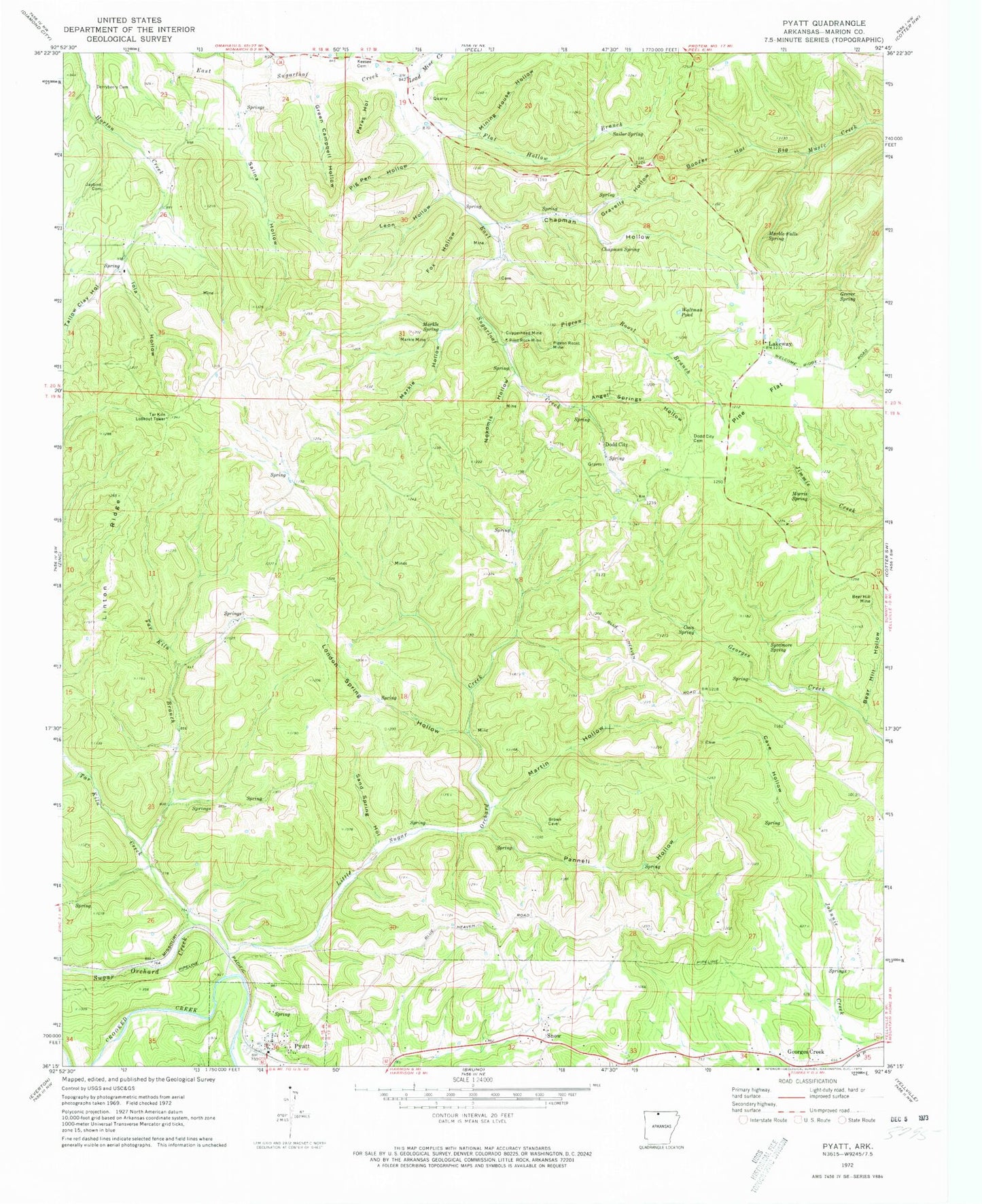
Historical USGS topographic quad map of Pyatt in the state of Arkansas. Map scale may vary for some years, but is generally around 1:24,000. Print size is approximately 24" x 27"
This quadrangle is in the following counties: Marion.
The map contains contour lines, roads, rivers, towns, and lakes. Printed on high-quality waterproof paper with UV fade-resistant inks, and shipped rolled.
Contains the following named places: Angel Springs Hollow, Bear Hill Hollow, Bear Hill Mine, Boozer Hollow, Cave Hollow, Chapman Hollow, Chapman Spring, Clark Hill, Coon Spring, Copperhead Mine, Derryberry Cemetery, Dodd City, Dodd City Cemetery, Dodd City School, Flat Hollow Branch, Fox Hollow, Georges Creek, Gravelly Hollow, Green Campbell Hollow, Grever Spring, Iola Hollow, Jaybird Cemetery, Keesee School, Lakeway, Lakeway Rural Volunteer Fire Department Station 1, Lakeway Rural Volunteer Fire Department Substation, Lakeway Rural Volunteer Fire Substation 2, Lead Mine Creek, Leon Hollow, Linton Ridge, Little Sugar Creek, London Spring Hollow, Marble Falls Spring, Markle Hollow, Markle Mine, Markle Spring, Martin Hollow, Mining House Hollow, Morris Spring, Nokomis Hollow, Pannell Hollow, Parks Hollow, Pig Pen Hollow, Pigeon Roost Branch, Pigeon Roost Mine, Pilot Rock Mine, Pine Flat, Pyatt Post Office, Pyatt Rural Fire and Defense Association, Sailor Spring, Salina Hollow, Sand Spring Hollow, Snow, Sugar Orchard Creek, Sycamore Spring, Tallow Clay Hollow, Tar Kiln Branch, Tar Kiln Creek, Tar Kiln Lookout Tower, Town of Pyatt, Township of Blythe, Township of Dodd City, Township of Joe Burleson, Township of North Joe Burleson, Township of Sugarloaf, Waltman Pond, ZIP Code: 72672


