MyTopo
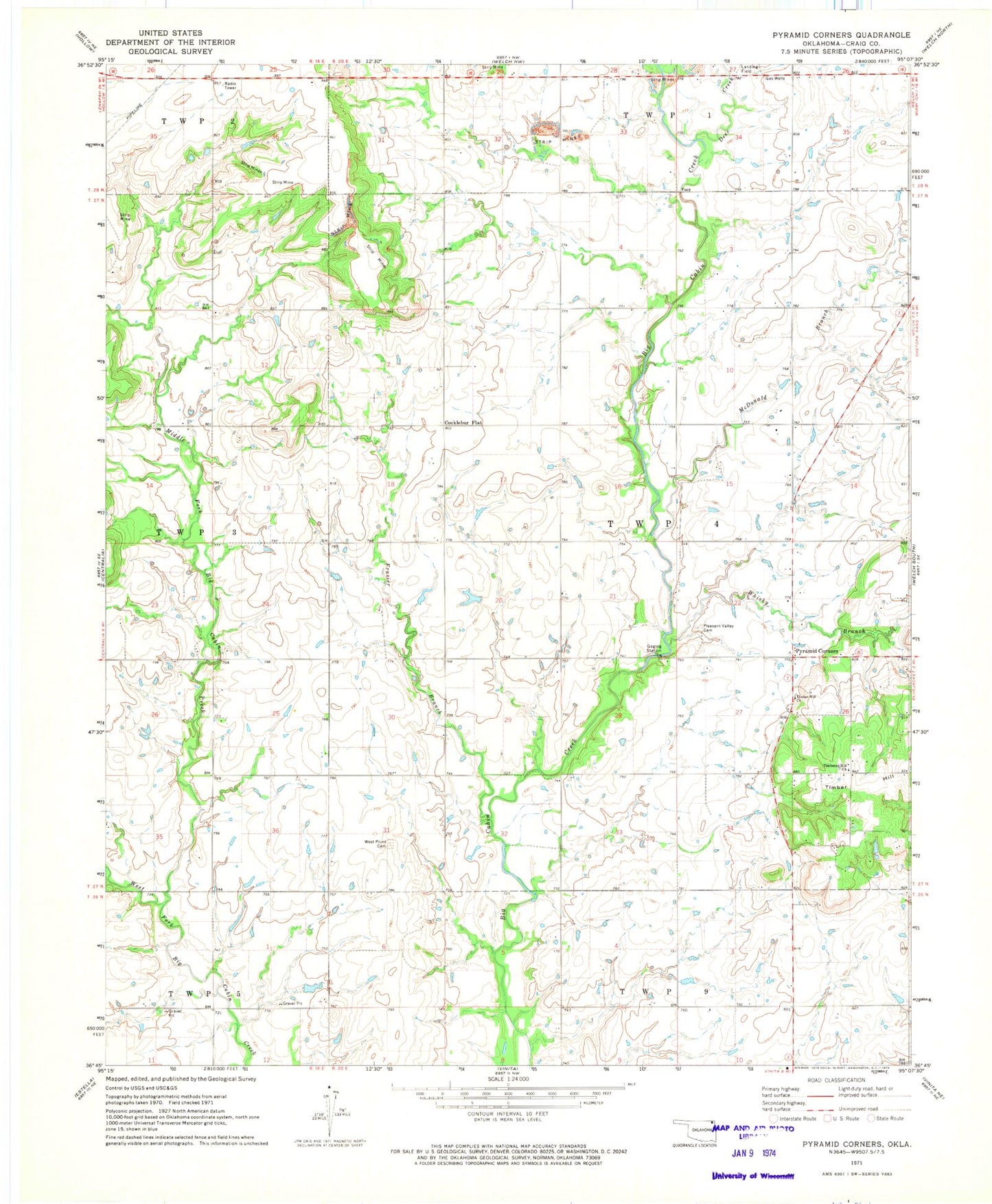
Classic USGS Pyramid Corners Oklahoma 7.5'x7.5' Topo Map
Couldn't load pickup availability
Historical USGS topographic quad map of Pyramid Corners in the state of Oklahoma. Map scale may vary for some years, but is generally around 1:24,000. Print size is approximately 24" x 27"
This quadrangle is in the following counties: Craig.
The map contains contour lines, roads, rivers, towns, and lakes. Printed on high-quality waterproof paper with UV fade-resistant inks, and shipped rolled.
Contains the following named places: Cocklebur Flat, Craig County, Craig Non-Community, Deer Creek, Dick Melendy Dam, Dick Melendy Reservoir, Frazier Branch, McDonald Branch, Middle Fork Big Cabin Creek, Pleasant Valley Cemetery, Pyaramid Corners, Pyramid Corners, Timber Hill Church, Timbered Hill Church, West Point Cemetery, Whiskey Branch