MyTopo
Classic USGS Pysht Washington 7.5'x7.5' Topo Map
Regular price
$16.95
Regular price
Sale price
$16.95
Unit price
per
Couldn't load pickup availability
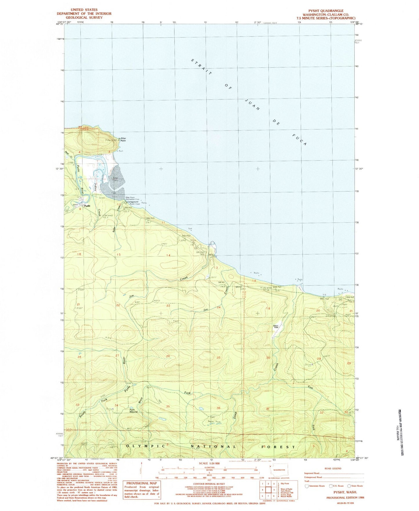
Historical USGS topographic quad map of Pysht in the state of Washington. Map scale may vary for some years, but is generally around 1:24,000. Print size is approximately 24" x 27"
This quadrangle is in the following counties: Clallam.
The map contains contour lines, roads, rivers, towns, and lakes. Printed on high-quality waterproof paper with UV fade-resistant inks, and shipped rolled.
Contains the following named places: Butler Cove, Butler Creek, Deep Creek, East Fork Deep Creek, Gibson Farm, Indian Creek, Jim Creek, Joe Creek, Pillar Point, Pillar Point Recreation Area, Pysht, Pysht Millpond, Pysht River, Reed Creek, Tree Bluff, West Fork Deep Creek