MyTopo
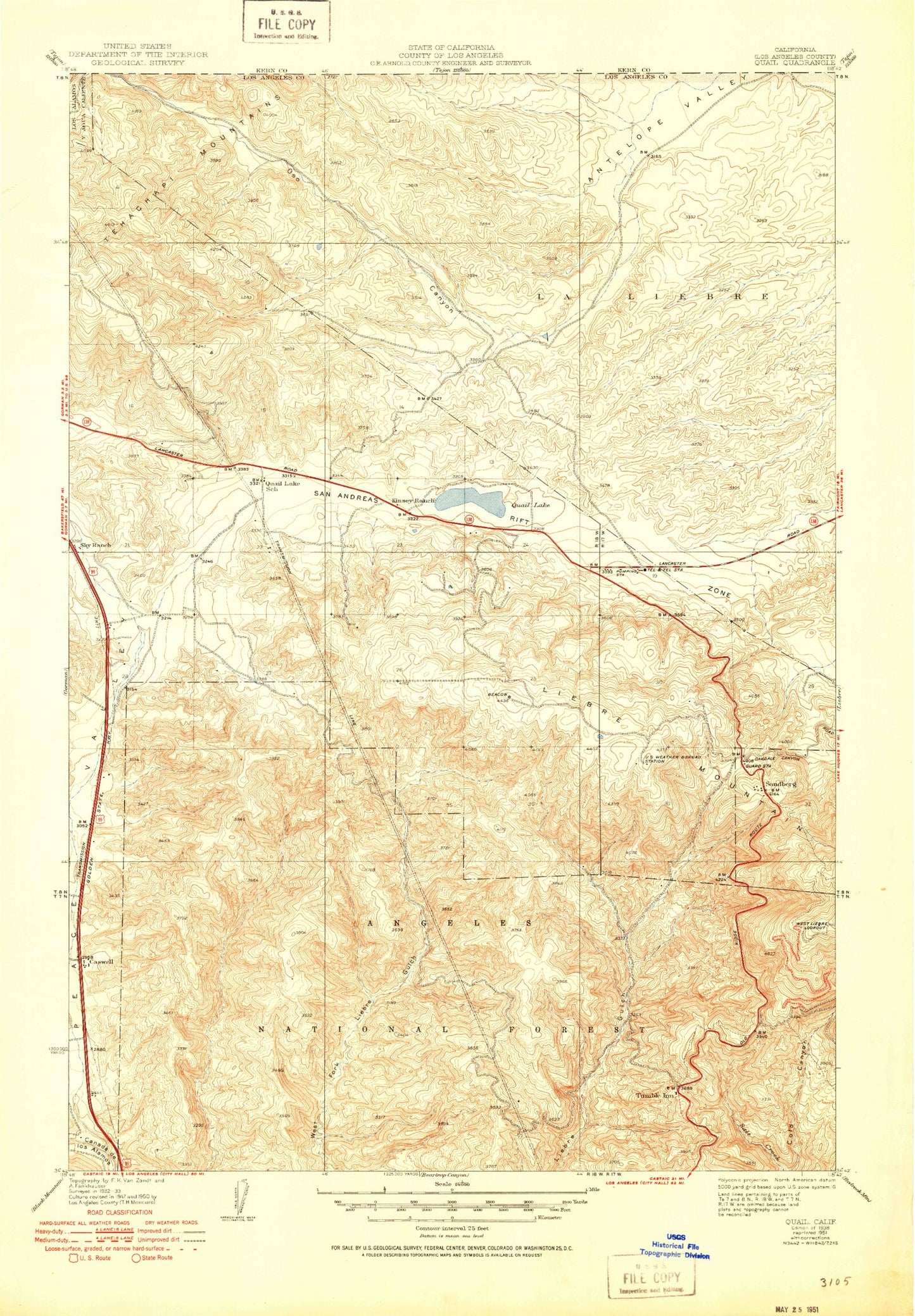
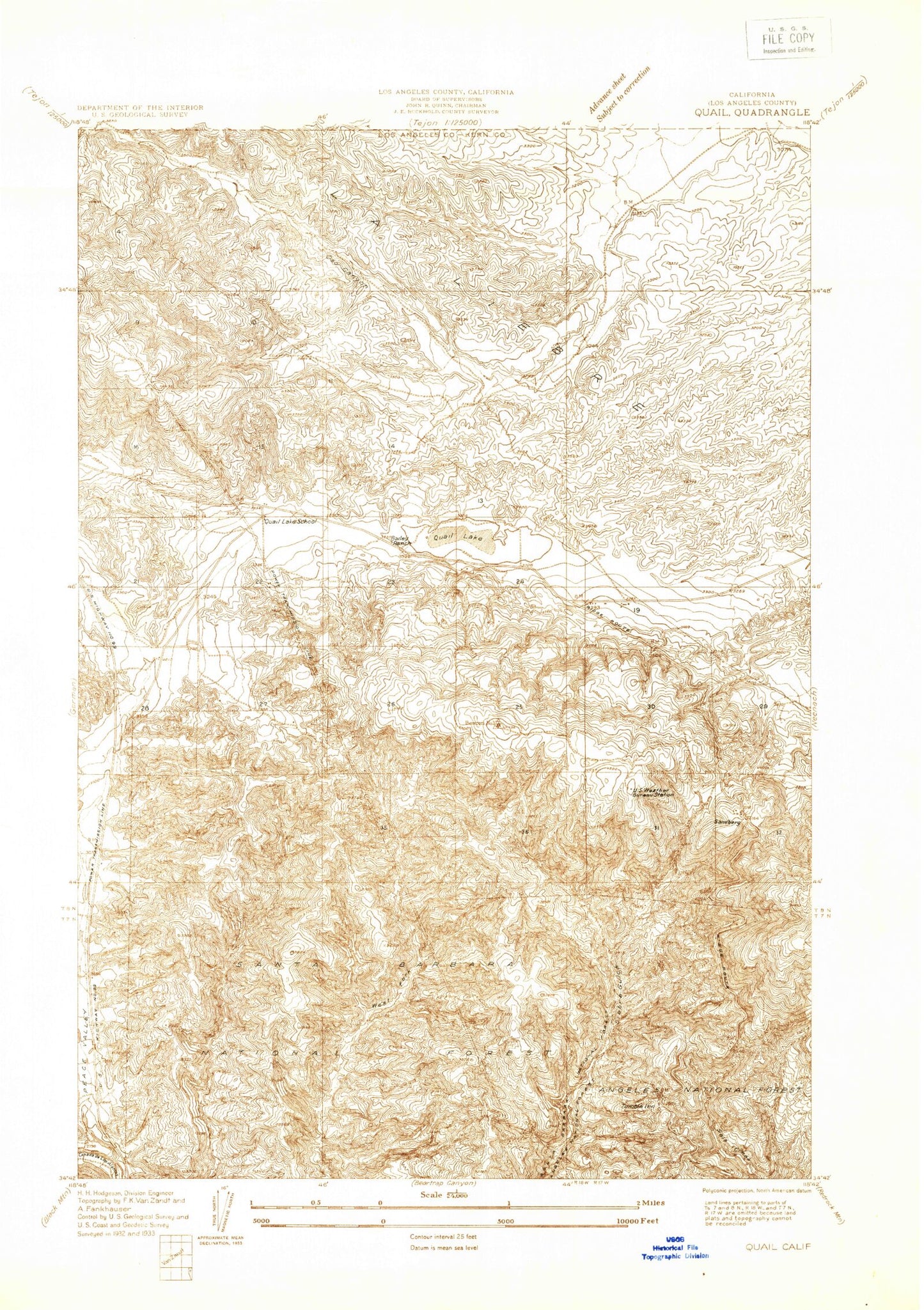
Classic USGS Quail California 7.5'x7.5' Topo Map
Couldn't load pickup availability
Historical USGS topographic quad map of Quail in the state of California. Map scale may vary for some years, but is generally around 1:24,000. Print size is approximately 24" x 27"
This quadrangle is in the following counties: Los Angeles.
The map contains contour lines, roads, rivers, towns, and lakes. Printed on high-quality waterproof paper with UV fade-resistant inks, and shipped rolled.
Contains the following named places: Bailey Substation, Bald Mountain, Canada de los Alamos, Caswell, Gorman Creek Siphon, Governor Edmund G Brown West Branch California Aqueduct, Hungry Valley Siphon, Los Angeles County Fire Department Station 77, Lower Quail Canal, Old Bailey Ranch, Peace Valley, Peace Valley Pipeline, Quail Lake, Quail Lake Inn, Quail Lake School, Quail Lake Sky Park, Ridge Tavern, Sandberg, Sky Ranch, Tumble Inn, Tumble Inn Campground, United States Forest Service Angeles National Forest Station - Quail Lake, United States Weather Bureau Station, West Liebre Lookout, ZIP Code: 93243


