MyTopo
Classic USGS Quanicassee Michigan 7.5'x7.5' Topo Map
Regular price
$16.95
Regular price
Sale price
$16.95
Unit price
per
Couldn't load pickup availability
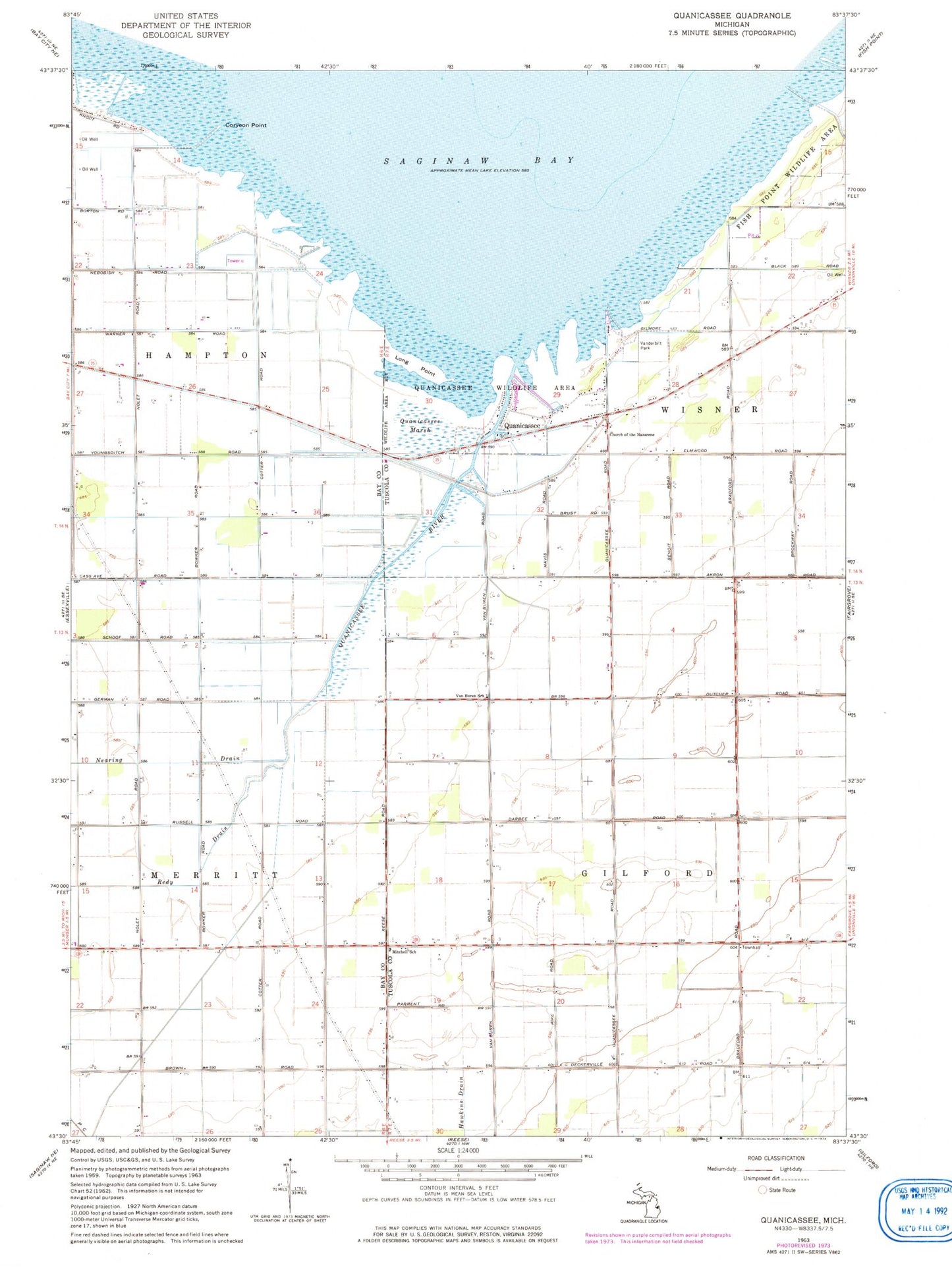
Historical USGS topographic quad map of Quanicassee in the state of Michigan. Map scale may vary for some years, but is generally around 1:24,000. Print size is approximately 24" x 27"
This quadrangle is in the following counties: Bay, Tuscola.
The map contains contour lines, roads, rivers, towns, and lakes. Printed on high-quality waterproof paper with UV fade-resistant inks, and shipped rolled.
Contains the following named places: Church of the Nazarene, Coryeon Point, Hugo Drain, Long Point, Mitchell School, Quanicassee, Quanicassee City Post Office, Quanicassee Marsh, Quanicassee River, Township of Gilford, Township of Wisner, Van Buren School, Vanderbilt Park, WHNN-FM (Bay City), WUCX-FM (Bay City)