MyTopo
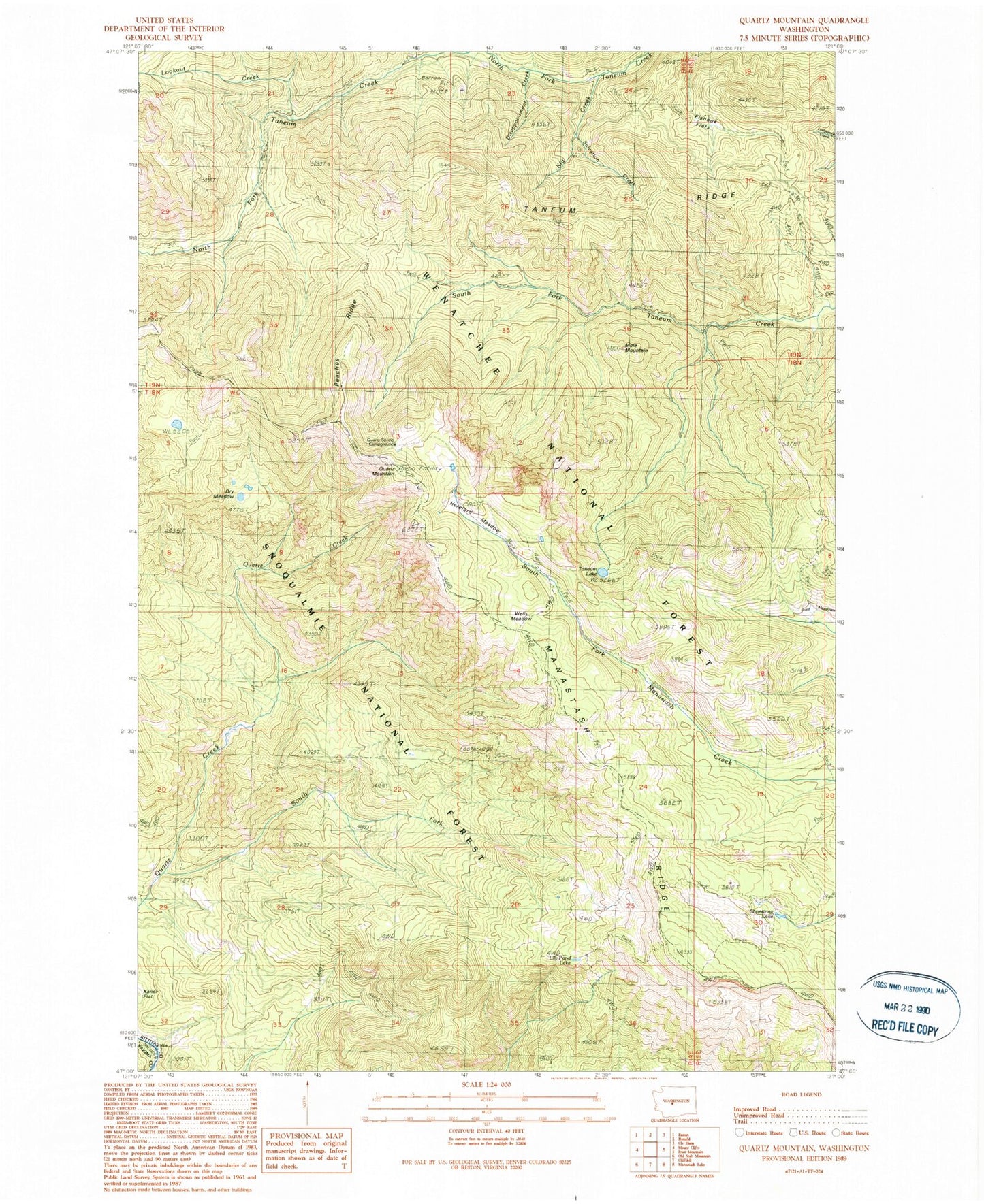
Classic USGS Quartz Mountain Washington 7.5'x7.5' Topo Map
Couldn't load pickup availability
Historical USGS topographic quad map of Quartz Mountain in the state of Washington. Typical map scale is 1:24,000, but may vary for certain years, if available. Print size: 24" x 27"
This quadrangle is in the following counties: Kittitas, Yakima.
The map contains contour lines, roads, rivers, towns, and lakes. Printed on high-quality waterproof paper with UV fade-resistant inks, and shipped rolled.
Contains the following named places: Disappointment Creek, Dry Meadow, Fishhook Flats, Fishhook Flats Trail, Frost Meadows, Frost Mountain Lookout Trail, Hereford Meadow, Kaner Flat Trail, Kid Creek, Lily Pond Lake, Lookout Creek, Mole Mountain, North Fork Taneum Trail, Peaches Ridge, Quartz Creek Trail, Shoestring Lake, South Fork Quartz Creek, Taneum Lake, Taneum Ridge, Quartz Mountain, Salvation Creek