MyTopo
Classic USGS Quasqueton Iowa 7.5'x7.5' Topo Map
Couldn't load pickup availability
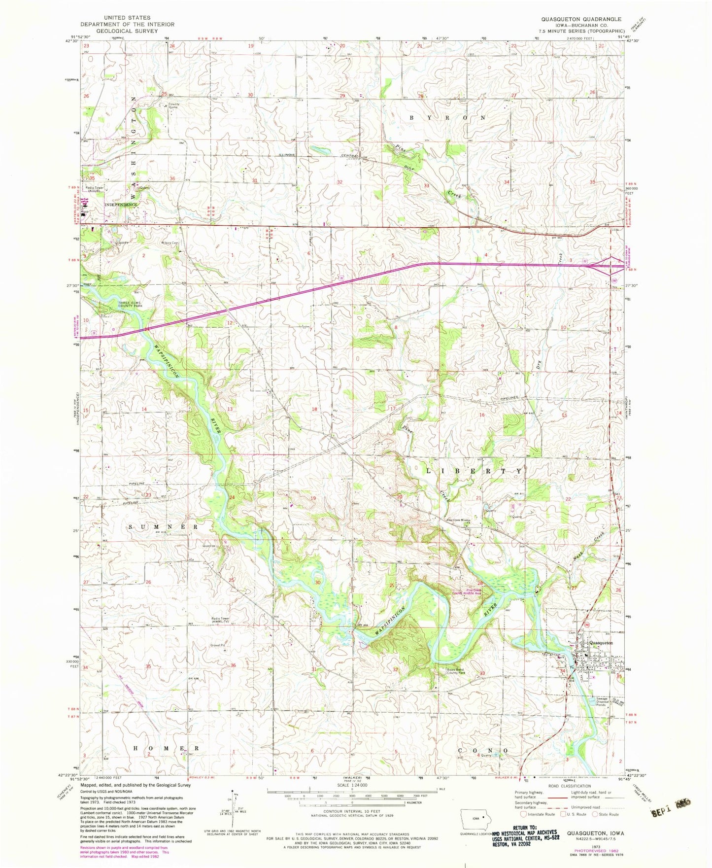
Historical USGS topographic quad map of Quasqueton in the state of Iowa. Map scale may vary for some years, but is generally around 1:24,000. Print size is approximately 24" x 27"
This quadrangle is in the following counties: Buchanan.
The map contains contour lines, roads, rivers, towns, and lakes. Printed on high-quality waterproof paper with UV fade-resistant inks, and shipped rolled.
Contains the following named places: Ambulance Service Buchanan County, Ben Haven Mobile Home Park, Boies Bend County Park, Buchanan County, Buchanan County Health Center, Buchanan County Home, Cedar Rock State Park, City of Quasqueton, Doris, Dry Creek, East Buchanan Community School, East Towne Care Center, Gatesville, Gatesville Post Office, German Catholic Cemetery, Hickory Grove Cemetery, KFMN-FM (Waterloo), KFMW-FM (Waterloo), KWWL-TV (Waterloo), Nash Creek, Pine Creek, Pine Creek Cemetery, Pine Creek County Wildlife Area, Pine Creek Mission Church, Quasqueton, Quasqueton Cemetery, Quasqueton Emergency Services, Quasqueton Post Office, Rowley Fen Area, Taylor's Ford Bridge, Three Elms County Park, Township of Liberty, Union Protestant Community Church, Veterans Memorial Park, West-Village Care Center, Wilson Cemetery, ZIP Code: 52326


