MyTopo
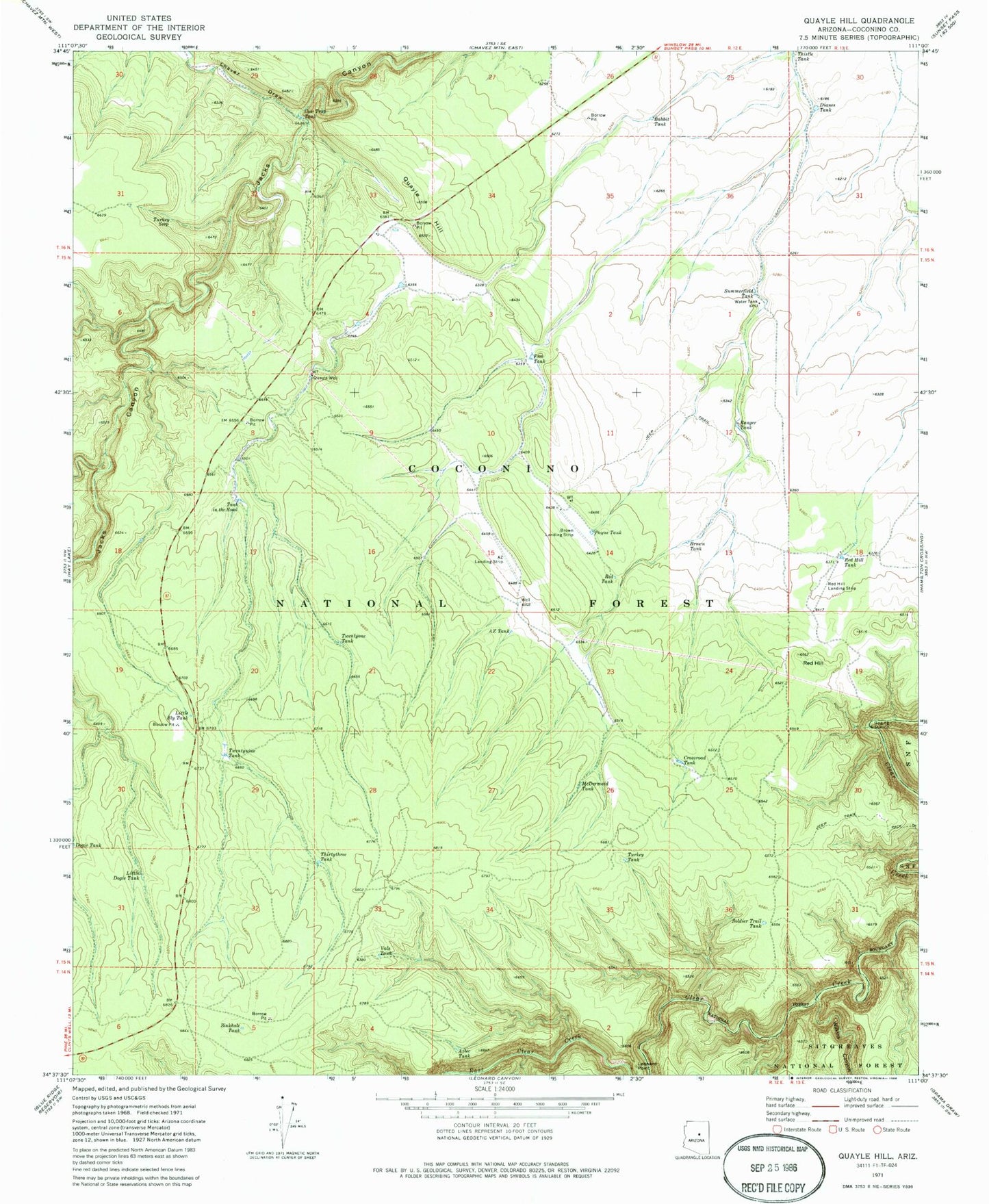
Classic USGS Quayle Hill Arizona 7.5'x7.5' Topo Map
Couldn't load pickup availability
Historical USGS topographic quad map of Quayle Hill in the state of Arizona. Map scale may vary for some years, but is generally around 1:24,000. Print size is approximately 24" x 27"
This quadrangle is in the following counties: Coconino.
The map contains contour lines, roads, rivers, towns, and lakes. Printed on high-quality waterproof paper with UV fade-resistant inks, and shipped rolled.
Contains the following named places: Arizona Ranch, AZ Landing Strip, AZ Tank, AZ Well, Aztec Tank, Babbit Tank, Bennet Tank, Blue Ridge, Blue Ridge Census Designated Place, Brown Landing Strip, Brown Tank, Chavez Draw, Cow Trap Tank, Crossroad Tank, Dianes Tank, Dry Tank, Free Tank, Little Bly Tank, Little Dogie Tank, McDermaid Tank, Payne Tank, Quail Tank, Quayle Field Tank, Quayle Hill, Quayle Well, Ranger Tank, Red Hill, Red Hill Landing Strip, Red Hill Tank, Red Tank, Sinkhole Tank, Soldier Trail Tank, Summerfield Tank, Tank in the Road, Thirtyone Tank, Thirtythree Tank, Thistle Tank, Turkey Seep, Turkey Tank, Twentynine Tank, Twentyone Tank, Vals Tank, Wilkins Canyon


