MyTopo
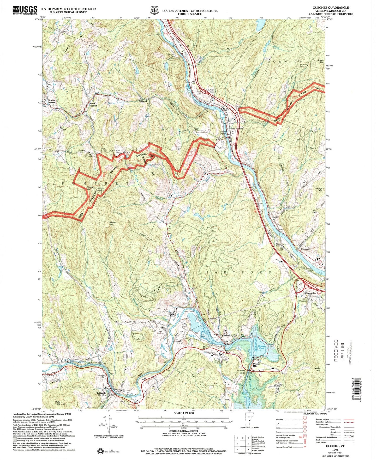
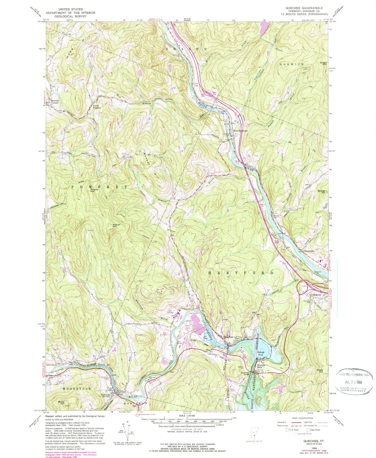
Classic USGS Quechee Vermont 7.5'x7.5' Topo Map
Couldn't load pickup availability
Historical USGS topographic quad map of Quechee in the state of Vermont. Typical map scale is 1:24,000, but may vary for certain years, if available. Print size: 24" x 27"
This quadrangle is in the following counties: Windsor.
The map contains contour lines, roads, rivers, towns, and lakes. Printed on high-quality waterproof paper with UV fade-resistant inks, and shipped rolled.
Contains the following named places: Babcock Brook, Babcock Cemetery, Blake Hill, Bunker Hill, Bunker Hill Cemetery, Centertown, Centerville, Deweys Mills, Deweys Pond, Dimick Brook, Happy Valley Brook, Hewitts Corners, Hilltop Cemetery, Howe Hill, Jericho Brook, Mill Brook, Mitchell Brook, Mitchell Pond, Murphy Cemetery, North Pomfret, Parkhurst Cemetery, Podunk Brook, Quechee, Quechee Gorge, Savage Cemetery, Savage Hill, Seaver Hill, Taftsville, Taftsville Cemetery, Thistle Hill, Tigertown Brook, West Hartford, Whitman Brook, Millbrook, R G Newsome Heliport, Town of Hartford, Lake Mitchell Dam, Deweys Mills Dam, Taftsville Dam, Emery Mills Dam, Lake Pinneo Dam, Lake Pinneo, Center of Town Cemetery, Congregational Church of North Pomfret, Highland Golf Course, Lakeland Golf Course, North Pomfret Post Office, Norwich Town Forest, Ottauquechee School, Pine Valley Resort Campground, Pomfret Town Forest, Que-Chee Club, Quechee Community Church, Quechee Covered Bridge, Quechee Gorge Bridge, Quechee Post Office, Simonds Cemetery, Taftsville Covered Bridge, Taftsville Post Office, Timber Village Shopping Center, West Hartford Cemetery, Hewittville Cemetery, Hartford Fire Department Station 2, Pomfret Volunteer Fire Department, Upper Valley Waldorf School, Mid Vermont Christian School, Quechee Census Designated Place


