MyTopo
Classic USGS Queen Mountain California 7.5'x7.5' Topo Map
Couldn't load pickup availability
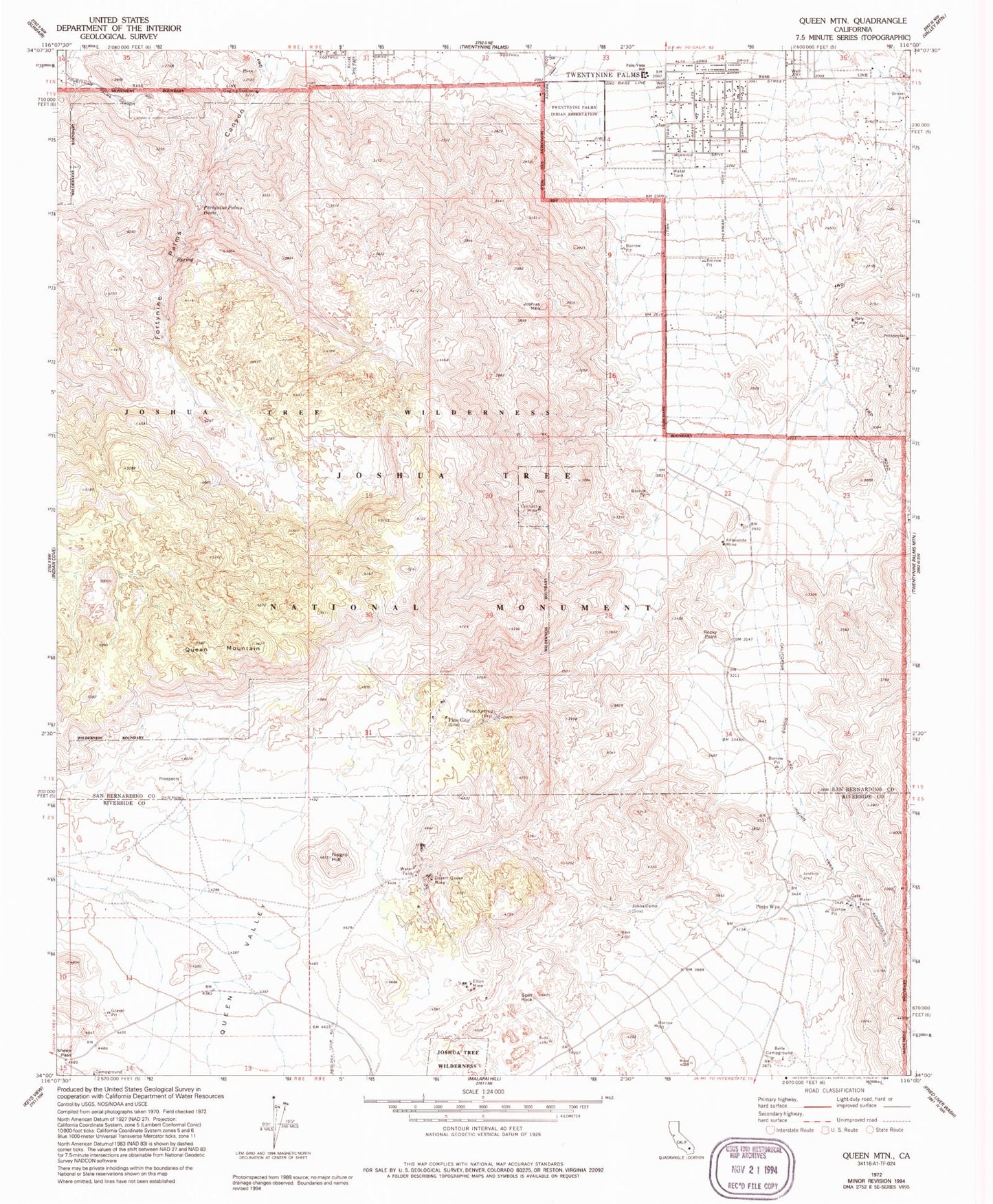
Historical USGS topographic quad map of Queen Mountain in the state of California. Typical map scale is 1:24,000, but may vary for certain years, if available. Print size: 24" x 27"
This quadrangle is in the following counties: Riverside, San Bernardino.
The map contains contour lines, roads, rivers, towns, and lakes. Printed on high-quality waterproof paper with UV fade-resistant inks, and shipped rolled.
Contains the following named places: Anaconda Mine, Belle Campground, Contact Mine, Desert Queen Mine, Elton Mine, Fortynine Palms Canyon, Fortynine Palms Oasis, Italy Mine, Johns Camp, Negro Hill, Palm Vista Elementary School, Pine City, Pine Spring, Rocky Point, Sheep Pass, Split Rock, Joshua Mountain, Pinto Wye, Queen Mountain, North Entrance Station, Sheep Pass Campground


