MyTopo
Classic USGS Quemado SE Texas 7.5'x7.5' Topo Map
Couldn't load pickup availability
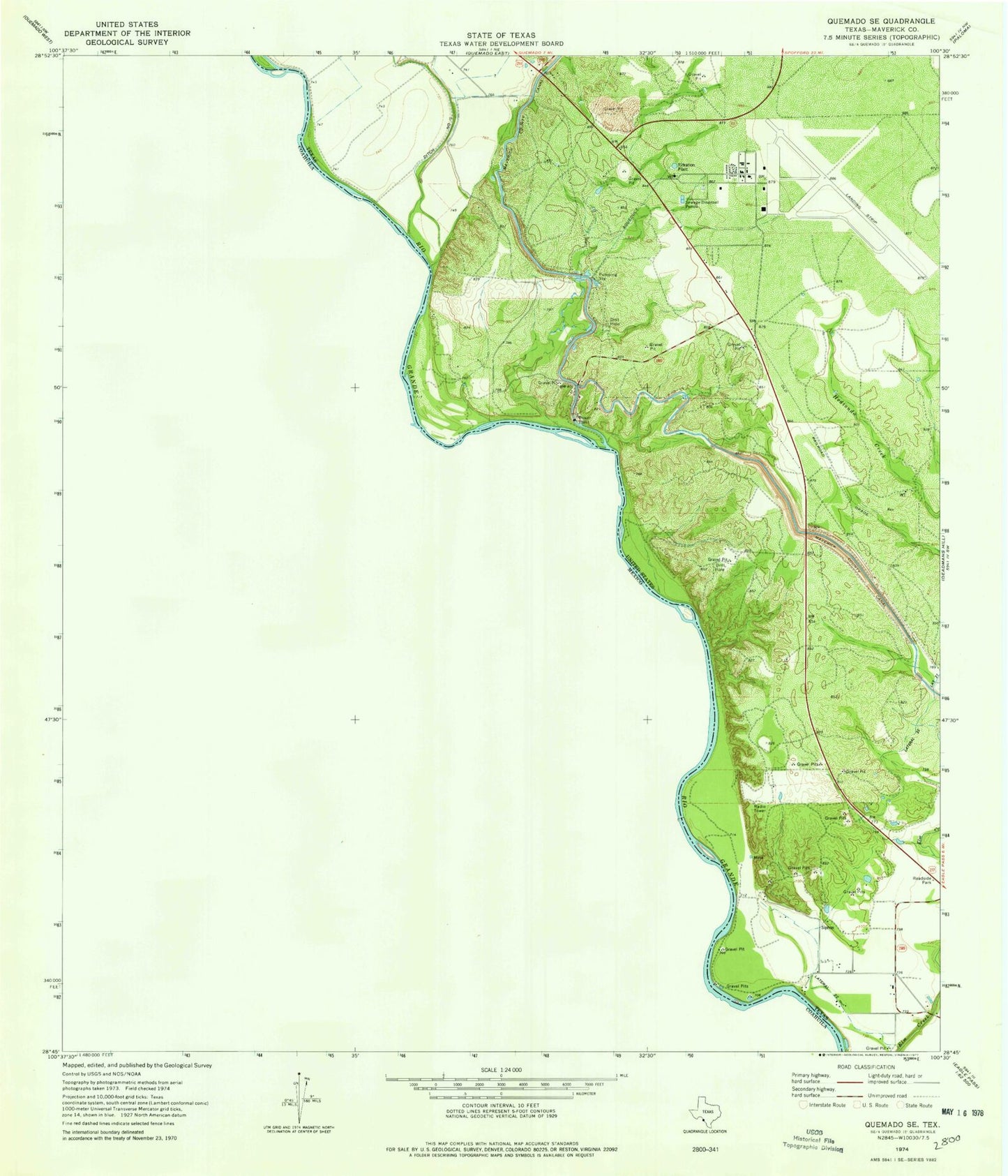
Historical USGS topographic quad map of Quemado SE in the state of Texas. Map scale may vary for some years, but is generally around 1:24,000. Print size is approximately 24" x 27"
This quadrangle is in the following counties: Maverick.
The map contains contour lines, roads, rivers, towns, and lakes. Printed on high-quality waterproof paper with UV fade-resistant inks, and shipped rolled.
Contains the following named places: Airport Addition Colonia, Ditch Number Fifteen, Eagle Pass Air Force Station, Eagle Pass Army Air Field, Elm Creek Number 1 Colonia, Elm Creek Number 2 Colonia, Hopedale Colonia, Lateral Twentytwo, Maverick County Memorial International Airport, Maverick Irrigation District Canal, Radar Base Census Designated Place