MyTopo
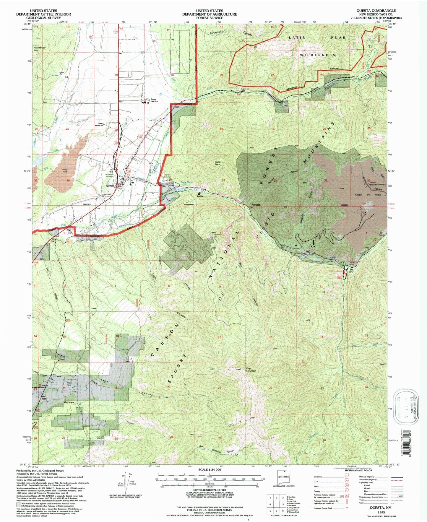
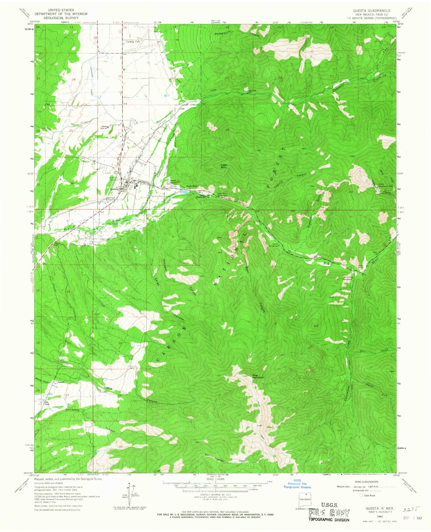
Classic USGS Questa New Mexico 7.5'x7.5' Topo Map
Couldn't load pickup availability
Historical USGS topographic quad map of Questa in the state of New Mexico. Typical map scale is 1:24,000, but may vary for certain years, if available. Print size: 24" x 27"
This quadrangle is in the following counties: Taos.
The map contains contour lines, roads, rivers, towns, and lakes. Printed on high-quality waterproof paper with UV fade-resistant inks, and shipped rolled.
Contains the following named places: Questa Health Center, Questa Middle School, Questa First Baptist Church, Saint Anthonys Catholic Church, Almagre Canyon, Bear Canyon, Blind Gulch, Cabresto Creek, Capulin Canyon, Columbine Campground, Columbine Creek, Deer Creek, Eagle Rock, Eagle Rock Campground, Eagle Rock Lake, Embergo Ditch, Flag Mountain, Goathill Campground, Goathill Gulch, Lake Fork, Lama, Largo Canyon, Llano Ditch, Penasquito Canyon, Placer Fork, Questa, Questa High School, Questa Molybdenum Mine, Questa Ranger Station, Saint Anthony Cemetery, Veterans Cemetery, Embargo Spring, Red River, Log Cabin Canyon, Hanosh, Hercules Group, Garrapata, Columbine Creek Prospect, Bernhardt Prospects, Williams Claims, Silver Mine, Nickel Plate, Gray Hawk Prospect, Bear Canyon Prospects, BJB Prospects, Black Point, Horner Prospect, Lower Cabresto Canyon, First Southern Baptist Church, First Assembly of God Church, Questa Church of Christ, 10023 Water Well, 10024 Water Well, Questa Health Center Library, Questa Elementary School, Cerro Elementary School, Costilla Elementary School, Questa Christian Academy, School of the North Star, Questa Post Office, Village of Questa, Lama Fire Department, Questa Fire Department Station 3, Questa Fire Department Station 1, Diversion Channel, Questa Police Department, Columbine-Hondo Wilderness