MyTopo
Classic USGS Quilcene Washington 7.5'x7.5' Topo Map
Couldn't load pickup availability
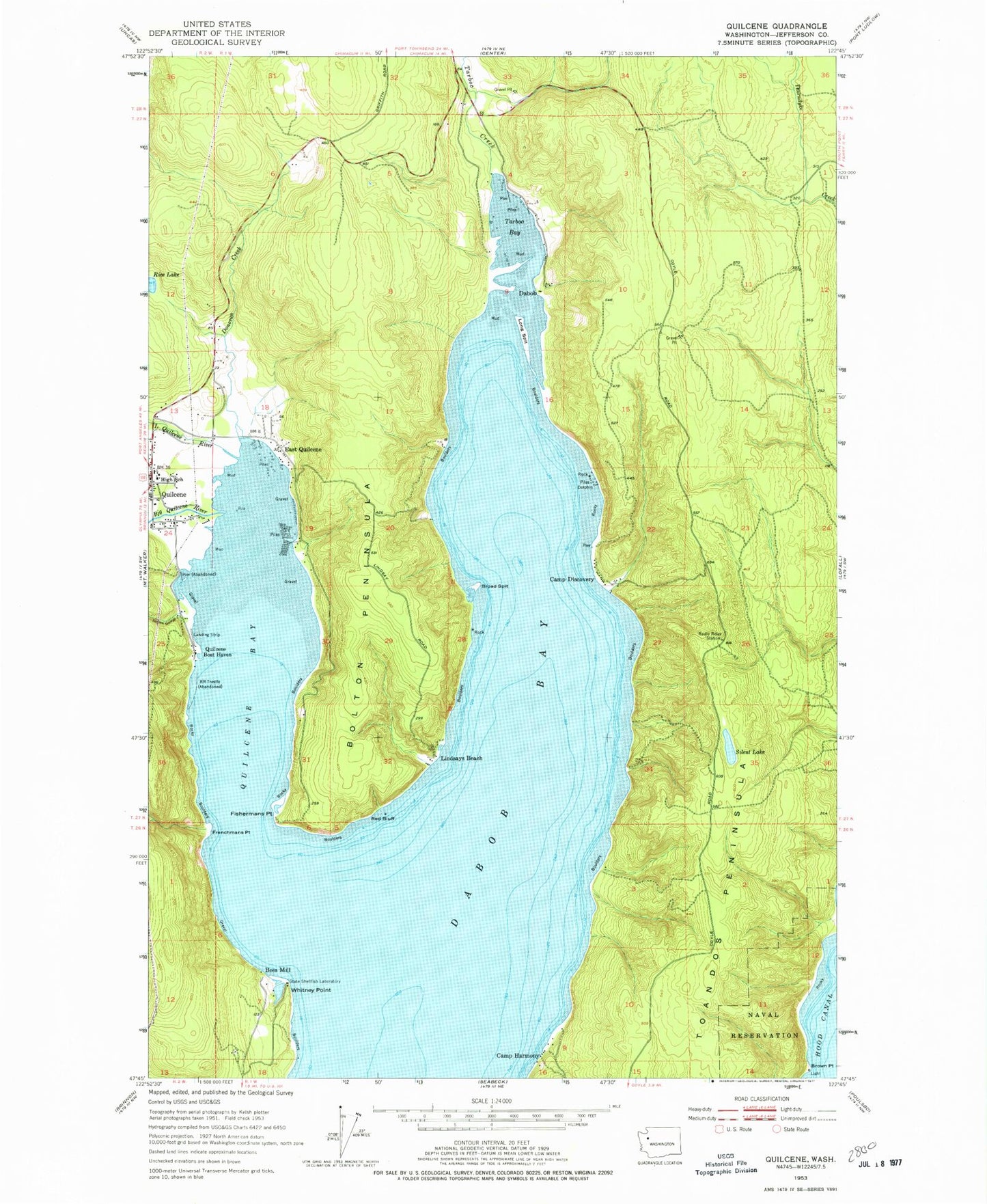
Historical USGS topographic quad map of Quilcene in the state of Washington. Typical map scale is 1:24,000, but may vary for certain years, if available. Print size: 24" x 27"
This quadrangle is in the following counties: Jefferson.
The map contains contour lines, roads, rivers, towns, and lakes. Printed on high-quality waterproof paper with UV fade-resistant inks, and shipped rolled.
Contains the following named places: Bees Mill, Big Quilcene River, Bolton Peninsula, Broad Spit, Brown Point, Camp Discovery, Camp Harmony, Dabob, Donovan Creek, East Quilcene, Fishermans Point, Frenchmans Point, Indian George Creek, Lindsays Beach, Little Quilcene River, Long Spit, Quilcene Bay, Quilcene Boat Haven, Red Bluff, Silent Lake, Tarboo Bay, Tarboo Creek, Toandos Peninsula, Whitney Point, Hood Canal Light, Lingerlonger Boat Launch Ramp, Whitney Point Boat Launch Ramp, Quilcene Elementary and High School, Quilcene Elementary School, Scalzo Dam, Kimshan Ranch Airport, Crossroads Community School, Herb Beck Marina