MyTopo
Classic USGS Quimby SE Iowa 7.5'x7.5' Topo Map
Regular price
$16.95
Regular price
Sale price
$16.95
Unit price
per
Couldn't load pickup availability
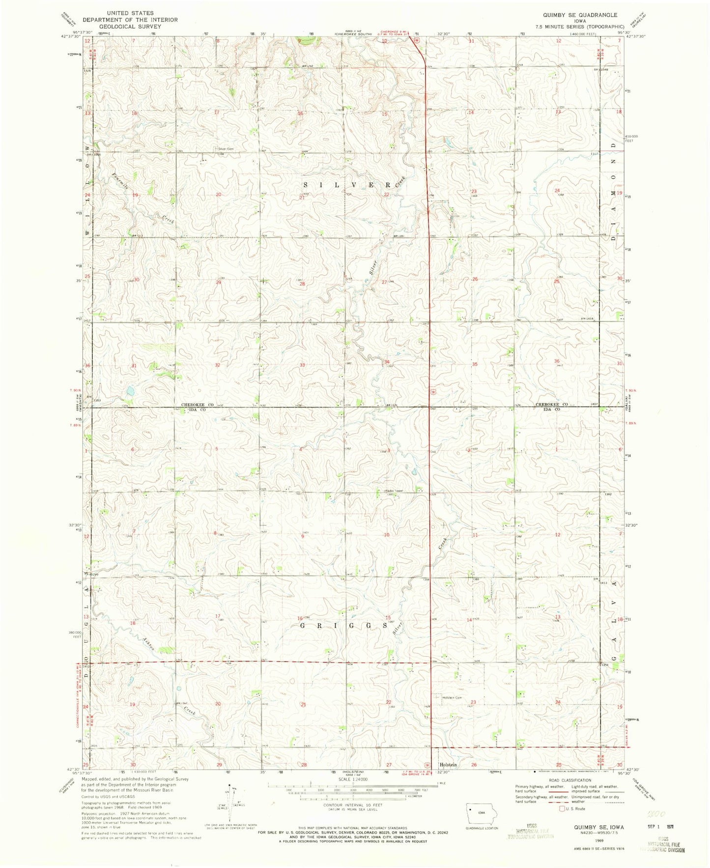
Historical USGS topographic quad map of Quimby SE in the state of Iowa. Map scale may vary for some years, but is generally around 1:24,000. Print size is approximately 24" x 27"
This quadrangle is in the following counties: Cherokee, Ida.
The map contains contour lines, roads, rivers, towns, and lakes. Printed on high-quality waterproof paper with UV fade-resistant inks, and shipped rolled.
Contains the following named places: Borchers Farms, Circle 7 Feed Yard, East Hampton Post Office, Gant Farms, H and J Farms, Holstein Cemetery, Holstein Dairy, Silver Cemetery, Sunset Sow Farm, Todd Farms, Township of Griggs, Township of Silver