MyTopo
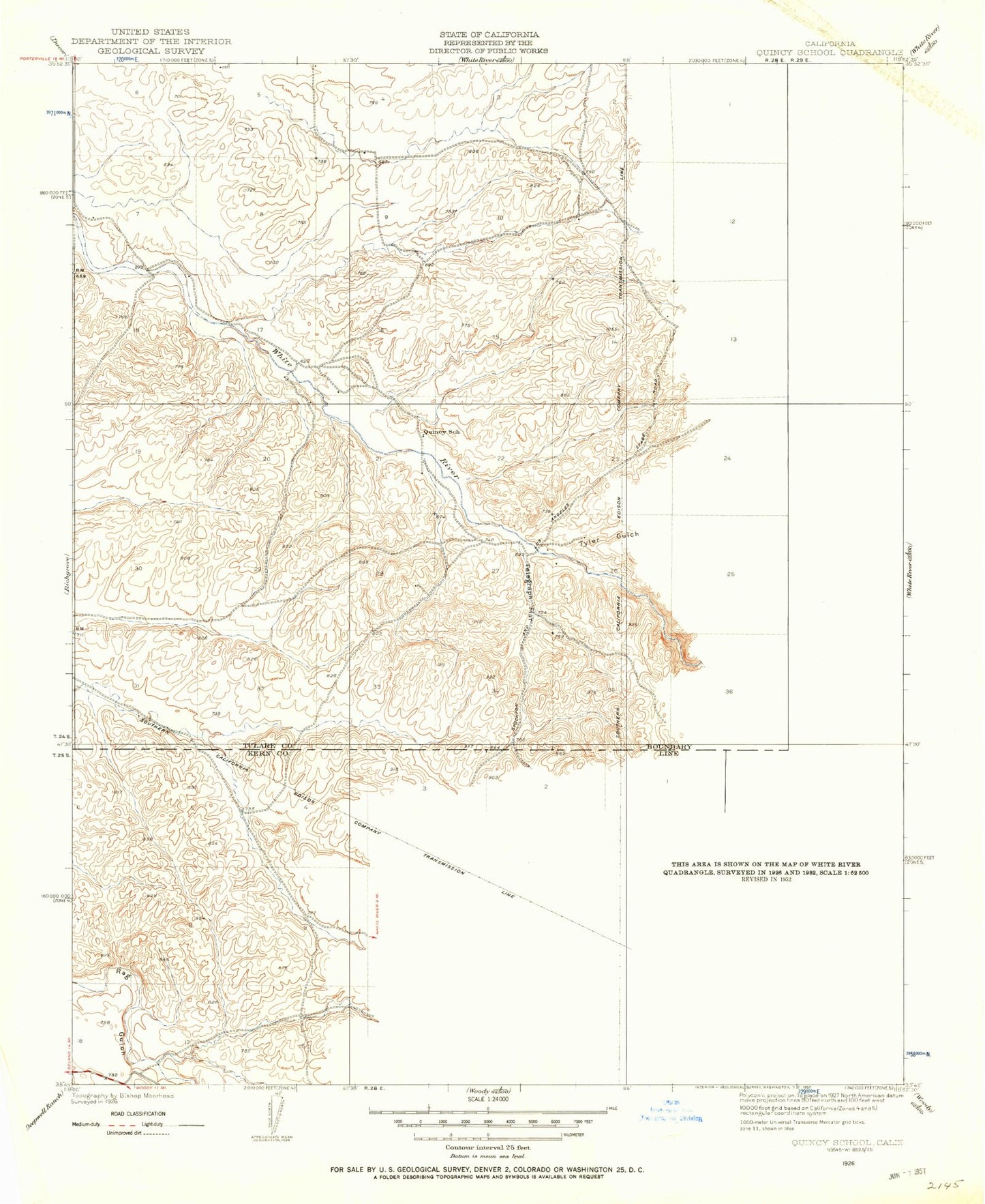
Classic USGS Quincy School California 7.5'x7.5' Topo Map
Regular price
$16.95
Regular price
Sale price
$16.95
Unit price
per
Couldn't load pickup availability
Historical USGS topographic quad map of Quincy School in the state of California. Map scale may vary for some years, but is generally around 1:24,000. Print size is approximately 24" x 27"
This quadrangle is in the following counties: Kern, Tulare.
The map contains contour lines, roads, rivers, towns, and lakes. Printed on high-quality waterproof paper with UV fade-resistant inks, and shipped rolled.
Contains the following named places: Coarse Gold Creek, Coho Creek, Coyote Spring, Flynn Ranch, Gillam Ranch, Grizzly Gulch, Hockett Well, Padre Francisco Garces Historical Monument, Quincy School, Telegraph Flat, Tyler Gulch, Vincent Ranch, ZIP Code: 93287