MyTopo
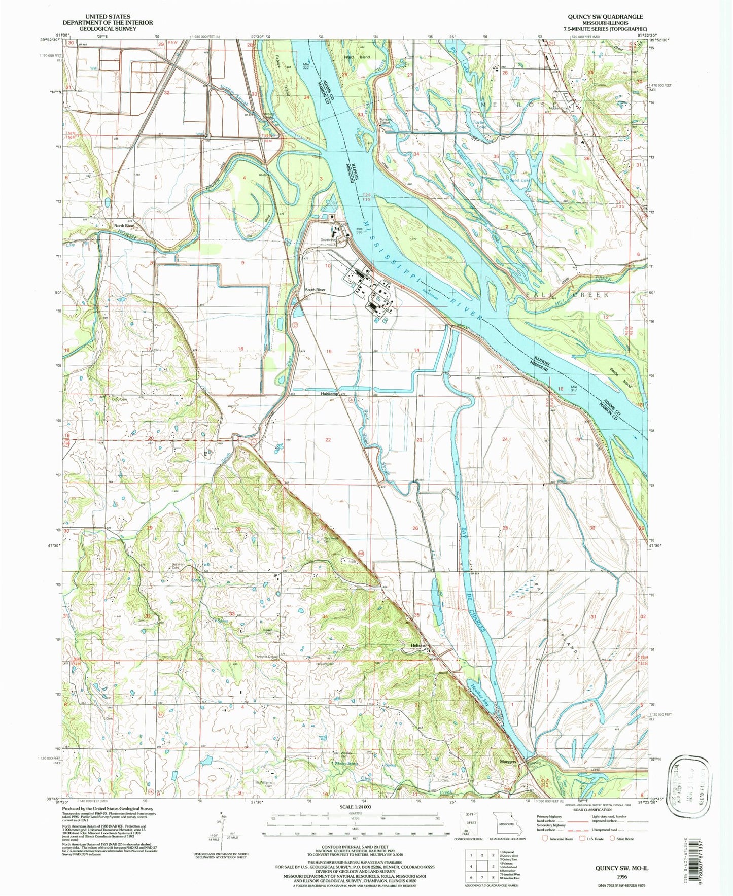
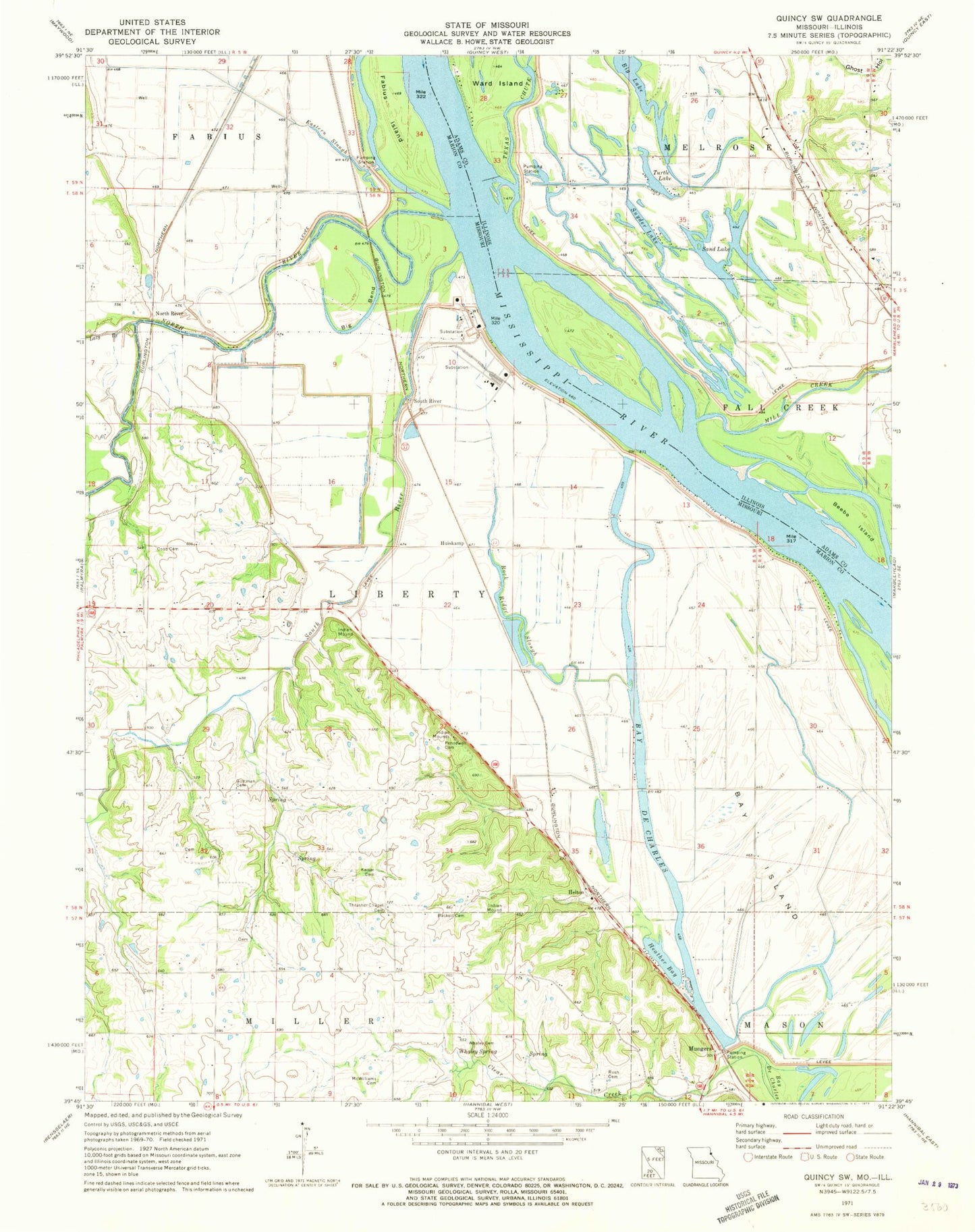
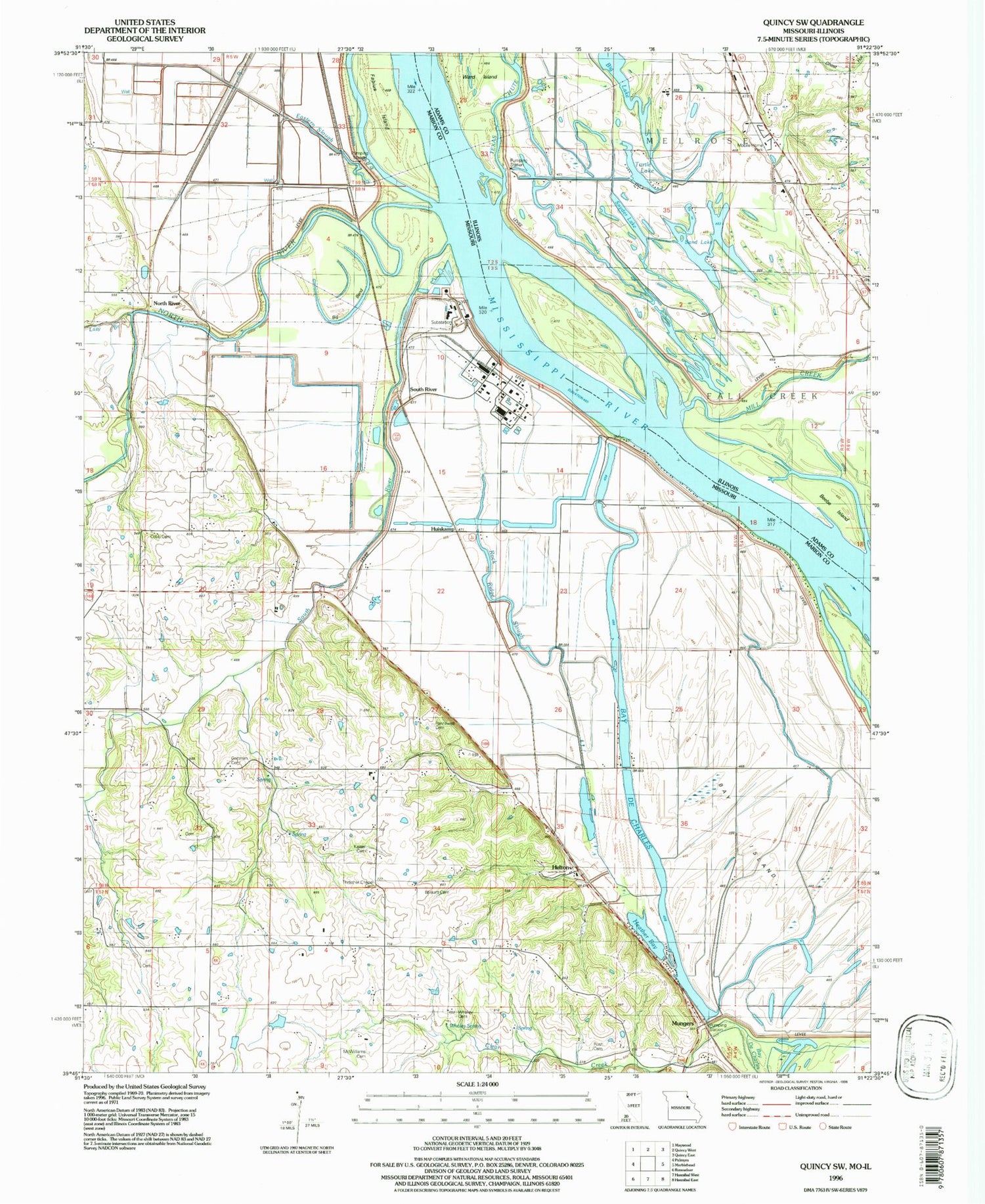
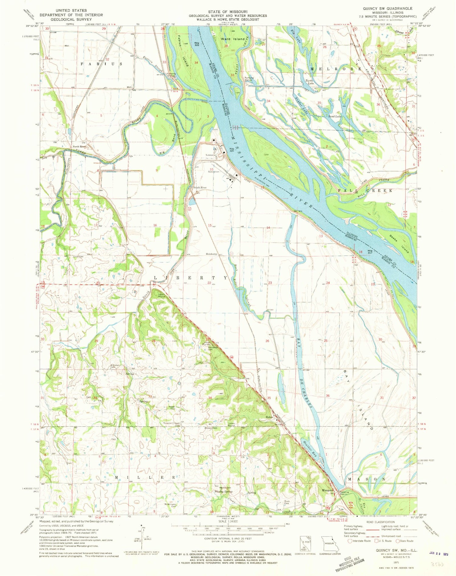
Classic USGS Quincy SW Missouri 7.5'x7.5' Topo Map
Couldn't load pickup availability
Historical USGS topographic quad map of Quincy SW in the states of Missouri, Illinois. Map scale may vary for some years, but is generally around 1:24,000. Print size is approximately 24" x 27"
This quadrangle is in the following counties: Adams, Marion.
The map contains contour lines, roads, rivers, towns, and lakes. Printed on high-quality waterproof paper with UV fade-resistant inks, and shipped rolled.
Contains the following named places: Baskett Cemetery, Bates School, Bay De Charles, Bay Island, Bay Island School, Bay Mill, Beebe Island, Bier School, Big Bend, Big Lake, Bluebill Lake, Clear Creek, Cloverdale School, Cobb Cemetery, Croppie Lake, Cyanamid-Hannibal Heliport, Distillery Hollow, Eastern Slough, Fabius Island, Goose Island, Gottman Cemetery, Heather Bay, Helton, Horseshoe Pond, Huiskamp, Kaiser Cemetery, Kate Lake, KIDS-FM (Palmyra), Lazy Branch, Marion City, Marion School, McWilliams Cemetery, Mill Creek, Mungers, Murphy Island, North River, Pennewell Cemetery, Rock Ridge Slough, Rush Cemetery, Sand Lake, Sand Slough, Snyder Lake, South River, South River Levee, Suter School, Texas Chute, Thrasher Chapel Cemetery, Township of Liberty, Turtle Lake, Twin Lake, Walkers Slough, Whaley Cemetery, Whaley Spring


