MyTopo
Classic USGS Quincy West Illinois 7.5'x7.5' Topo Map
Couldn't load pickup availability
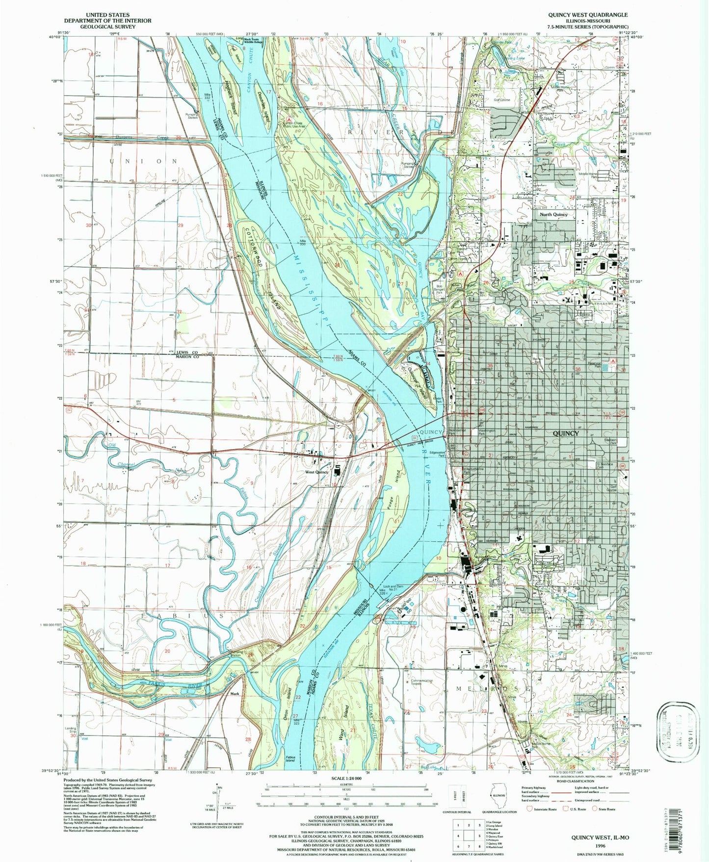
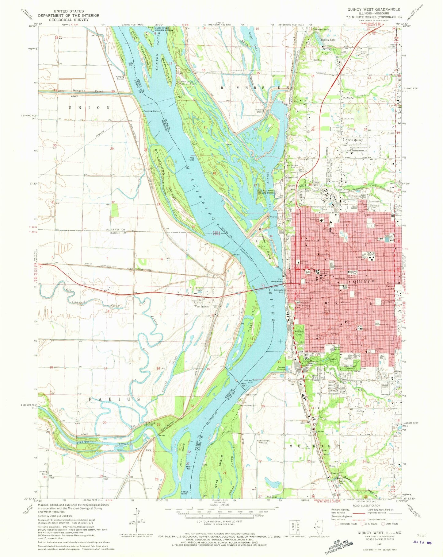
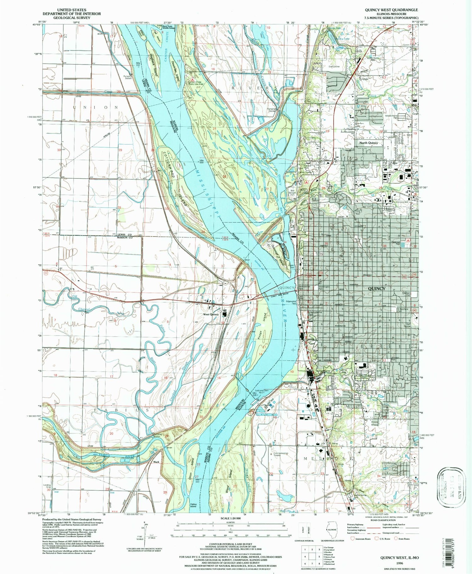
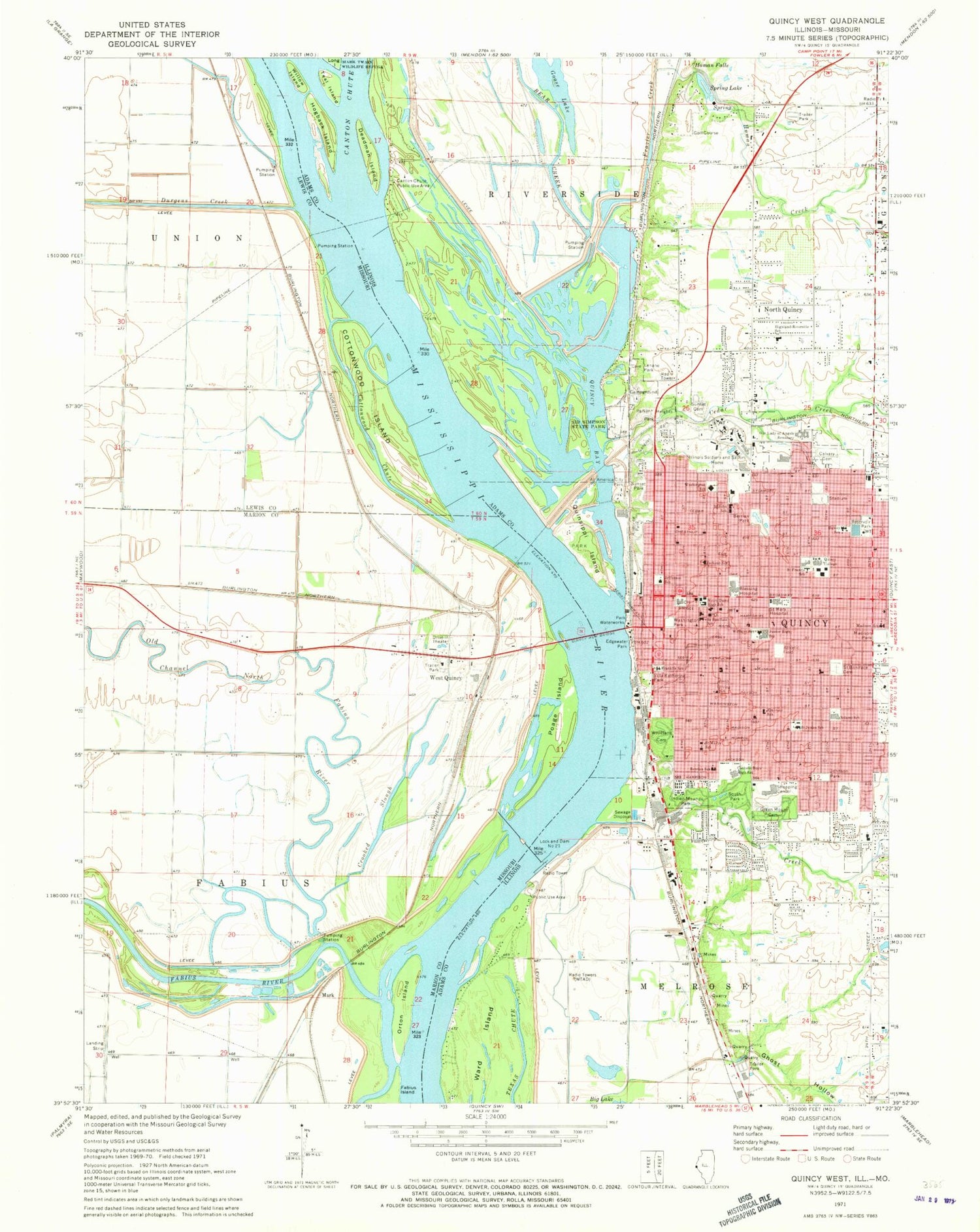
Historical USGS topographic quad map of Quincy West in the states of Illinois, Missouri. Map scale may vary for some years, but is generally around 1:24,000. Print size is approximately 24" x 27"
This quadrangle is in the following counties: Adams, Lewis, Marion.
The map contains contour lines, roads, rivers, towns, and lakes. Printed on high-quality waterproof paper with UV fade-resistant inks, and shipped rolled.
Contains the following named places: Adams County Ambulance Emergency Medical Services, Adams County Courthouse, Adams County Sheriff, Adams Elementary School, Air Evac Lifeteam 5, All America City Park, Alstynes Prairie, Augustine Residence Hall, Bay View Bridge, Bear Creek, Berrian Alternative School, Berrian Park, Bethel African Methodist Episcopal Church, Bethel Assembly of God Church, Bicentennial Park, Blessing Hospital, Blessing Hospital at 14th Street, Blessing Hospital Heliport, Brenner Library, Bullians Landing, Calftown, Calvary Baptist Church, Calvary Cemetery, Calvary Tabernacle, Canton Chute Public Use Area, Cathedral of Worship Church, Cedar Creek, Centennial Residence Hall, Central Baptist Church, Cherry Lane Estates, City of Quincy, Cottonwood Chute, Cottonwood Island, Crooked Slough, Curtis Creek, Deadman Island, Dewey Elementary School, Downtown Quincy Historic District, Dunsford, Durgens Creek, Edgewater Park, Emerson School, Emmanuel Nazarene Church, Fabius River, First Baptist Church, First Christian Church, First Southern Baptist Church, First Union Congregational Church, Francis Hall, Franklin School, Frazier Creek, Free Methodist Church, Gardner Museum of Architecture and Design, Garner Residence Hall, Gethsemane Gospel Church, Ghost Hollow, Goose Lake, Grace United Methodist Church, Grandview Acres, Grandview Baptist Church, Greenmount Cemetery, Harrison Street Plaza Shopping Center, Highland-Riverside School, Hogback Island, Homan Creek, Homan Falls, Homan Station, Illinois Soldiers and Sailors Home, Immanuel Baptist Church, Indian Mounds Park, Irving Elementary School, Jackson School, Jefferson School, Johnson Park, Keyes' Ferry, Lenane Park, Leroy School, Lincoln-Douglas Valentine Museum, Lind Street Residence Hall, Living World Fellowship Church, Lock and Dam 21, Lock and Dam Number Twenty-one, Luther Memorial Lutheran Church, Madison Elementary School, Madison Park, Maple Grove School, Mark, Mark School, Mark Twain Wildlife Refuge, Melrose, Memorial Gymnasium, Menke Quarry, Mound School, Niemann Farms, North Campus Gymnasium, North Quincy, Northbrook, Northridge, Notre Dame High School, Old Channel North Fabius River, Orton Island, Orville H Browning Post Office, Padua Residence Hall, Palm Garden Mobile Home Park, Parker Heights Park, Parkview Church, Payson Avenue Community Church, Poage Island, Pool 21, Quincy, Quincy Bay, Quincy City Hall, Quincy College North Campus, Quincy East End Historic District, Quincy Fire Department Central Station, Quincy Fire Department Station 4, Quincy Fire Department Station 5, Quincy Fire Department Station 6, Quincy Junior High School, Quincy Memorial Bridge, Quincy Museum, Quincy Notre Dame High School, Quincy Police Department, Quincy Public Library, Quincy Small Boat Channel, Quincy University, Quinsippi Island, Rainbow School, Reservoir Park, River of Life Christian Center, Riverview Park, Saint Boniface Cemetery, Saint Boniface Roman Catholic Church, Saint Boniface School, Saint Francis School, Saint Francis Solanus Roman Catholic Church, Saint James Lutheran Church, Saint James School, Saint John School, Saint Johns Anglican Church, Saint Johns Episcopal Church, Saint Johns Roman Catholic Church, Saint Mary Hospital, Saint Mary Hospital Emergency Heliport, Saint Marys Roman Catholic Church, Saint Marys School, Saint Rose of Lima Roman Catholic Church, Salem Evangelical United Church of Christ, Shalom Fellowship Church, Shanty Bend Pond, Sheridan Estates, Sid Simpson State Park, Solano Hall, South Crest, South Park, South Park Terrace, Southern View, Spring Lake, State and Eighth Plaza Shopping Center, Sunnybrook Meadows, Sunset Cemetery, Sunset Park, Teal Island, Temple B'nai Sholom, Township of Quincy, Township of Riverside, Trinity United Church of Christ, Union Baptist Church, Union United Methodist Church, Unity Church of Quincy, Valley View Campground, Vermont Street United Methodist Church, Villa Katherine Park, Vineyard Christian Fellowship Church, Ward Island, Washington Elementary School, Washington Park, Webster School, West Quincy, Willow Bend School, Willow Island, Woodland Cemetery, WTAD-AM (Quincy), WWQC-FM (Quincy), ZIP Codes: 62301, 63471


