MyTopo
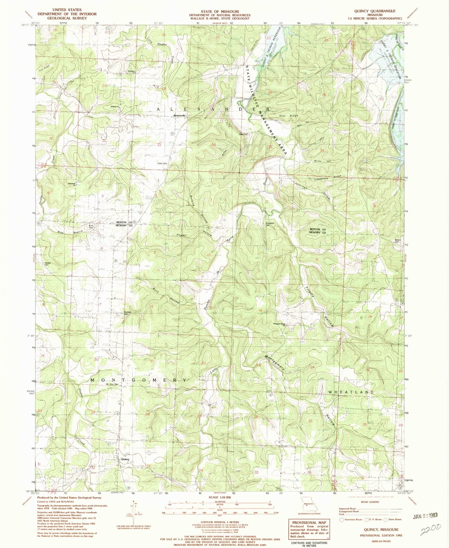
Classic USGS Quincy Missouri 7.5'x7.5' Topo Map
Couldn't load pickup availability
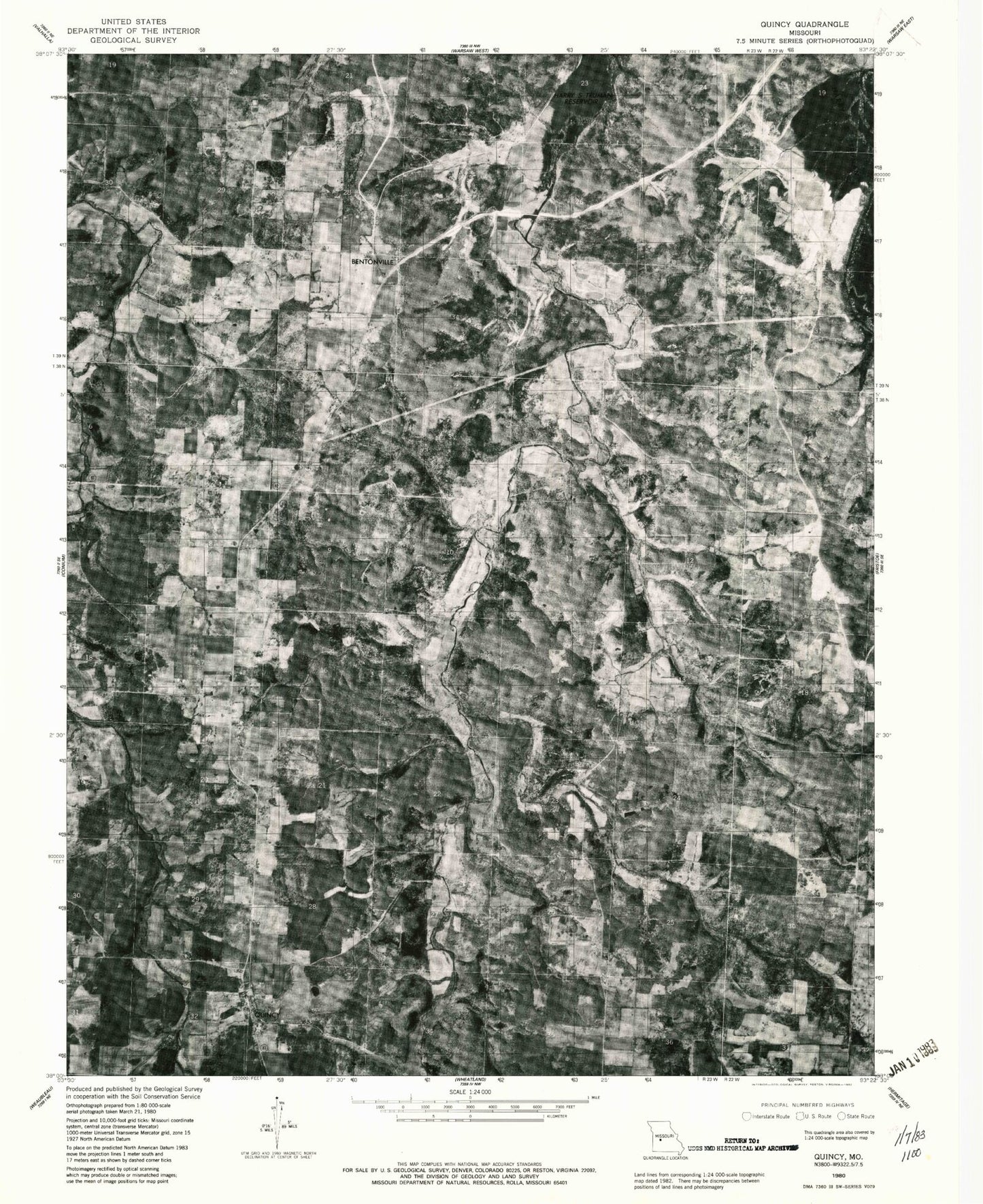
Historical USGS topographic quad map of Quincy in the state of Missouri. Map scale may vary for some years, but is generally around 1:24,000. Print size is approximately 24" x 27"
This quadrangle is in the following counties: Benton, Hickory.
The map contains contour lines, roads, rivers, towns, and lakes. Printed on high-quality waterproof paper with UV fade-resistant inks, and shipped rolled.
Contains the following named places: Bentonville, Beyers Cemetery, Bird Cemetery, Bird Hollow, Bird School, Blackwell Cemetery, Buck Hollow, Burbick Hollow, Button Hollow, Cobb Cemetery, Cover Branch, Cross Lane School, Franks Hollow, Freedom Church, Gist Ridge, Gover Branch, Harper Cemetery, Hopewell Church, Jennings Hollow, Limestone Ridge, Mize Hollow, Montgomery Hollow, Mount Zion Cemetery, Muddy Hollow, Myers School, Pleasant Grove Church, Pleasant Hill School, Powell Hollow, Quincy, Quincy Post Office, Shiloh Cemetery, Shiloh Church, Shiloh School, Tick Ridge, Township of Montgomery, Trinity Hollow, Turnip Top Hollow, Union Church, Union School, ZIP Code: 65735