MyTopo
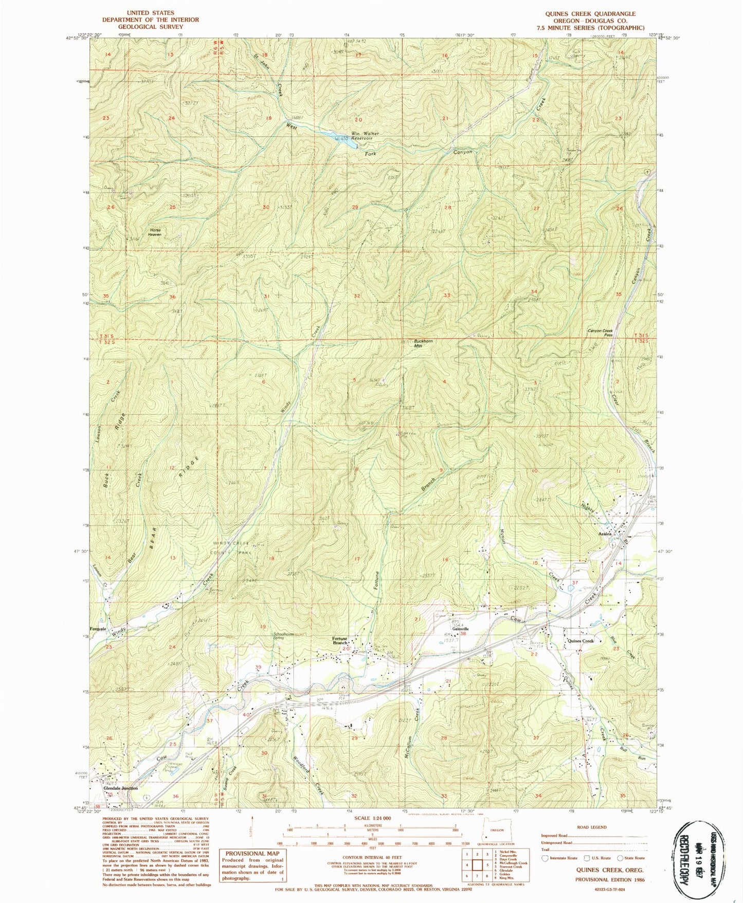
Classic USGS Quines Creek Oregon 7.5'x7.5' Topo Map
Couldn't load pickup availability
Historical USGS topographic quad map of Quines Creek in the state of Oregon. Map scale may vary for some years, but is generally around 1:24,000. Print size is approximately 24" x 27"
This quadrangle is in the following counties: Douglas.
The map contains contour lines, roads, rivers, towns, and lakes. Printed on high-quality waterproof paper with UV fade-resistant inks, and shipped rolled.
Contains the following named places: Azalea, Azalea Post Office, Azalea Rural Fire Protection District, Barton Park, Bear Creek, Bear Ridge, Blue Creek, Buck Ridge, Buckhorn Mountain, Bull Run, Camp Elliff, Canyon Creek Pass, Cow Creek Safety Rest Area, Fernvale, Fernvale Post Office, Fort Smith, Fortune Branch, Galesville, Galesville Post Office, Glendale Junction, Horse Heaven, Little Bull Run, McCollum Creek, Mynott Creek, Nace Family Airstrip, Quines Creek, Quines Creek Cemetery, Saint John Creek, Schoolhouse Spring, Shoestring Trail, South Canyonville, Swamp Creek, Vaughn Log Pond, Wildcat Creek, Win Walker Reservoir, Windy Creek County Wayside, Woodford Creek


