MyTopo
Classic USGS Quinn Table NE South Dakota 7.5'x7.5' Topo Map
Regular price
$16.95
Regular price
Sale price
$16.95
Unit price
per
Couldn't load pickup availability
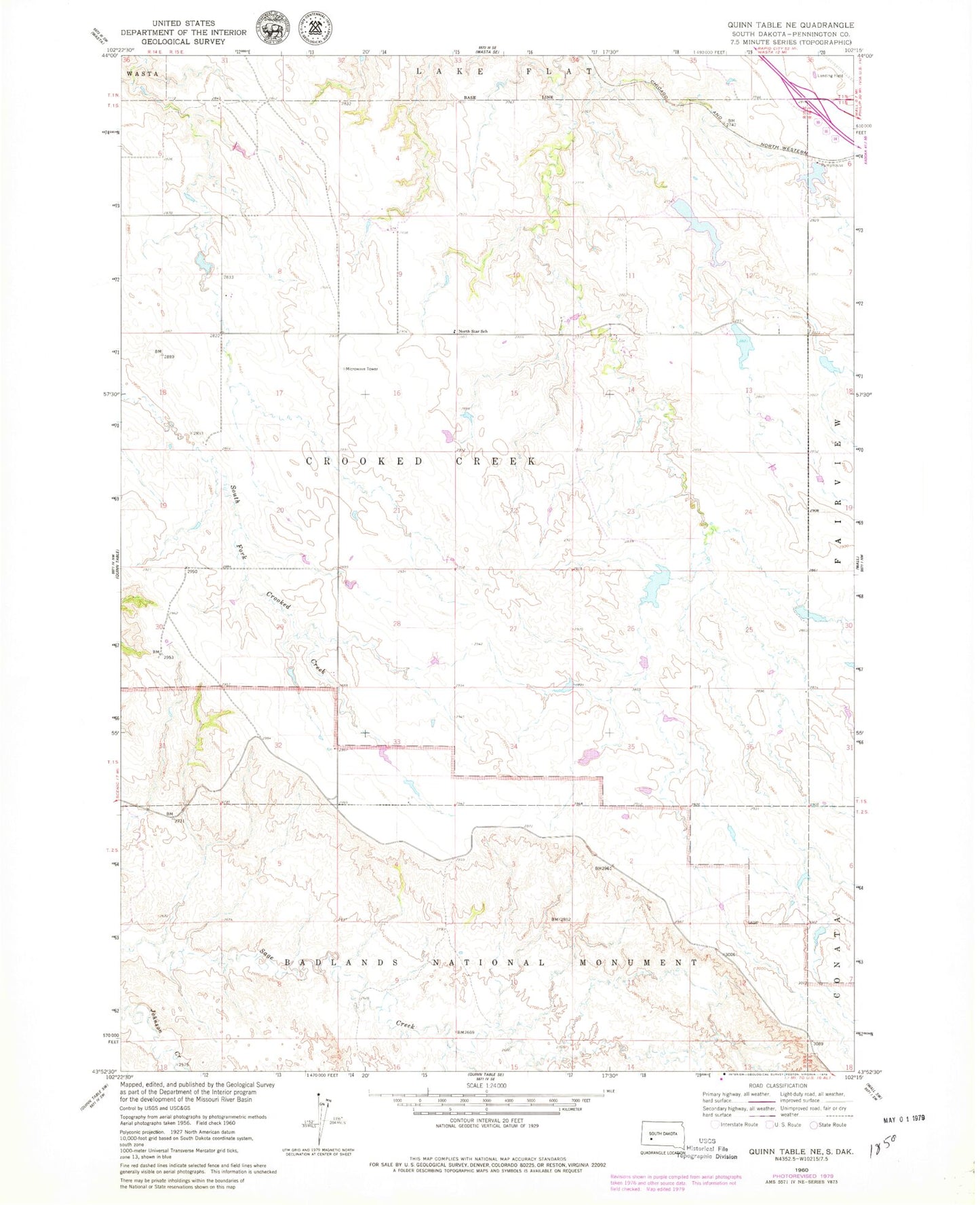
Historical USGS topographic quad map of Quinn Table NE in the state of South Dakota. Map scale may vary for some years, but is generally around 1:24,000. Print size is approximately 24" x 27"
This quadrangle is in the following counties: Pennington.
The map contains contour lines, roads, rivers, towns, and lakes. Printed on high-quality waterproof paper with UV fade-resistant inks, and shipped rolled.
Contains the following named places: Bruce Dam, Crowndam Dam, George Knapp Dam, New Wall Lake Dam, North Star School, Old Town Dam, Roy Schull Number 1 Dam, Roy Schull Number 2 Dam, Wall Municipal Airport