MyTopo
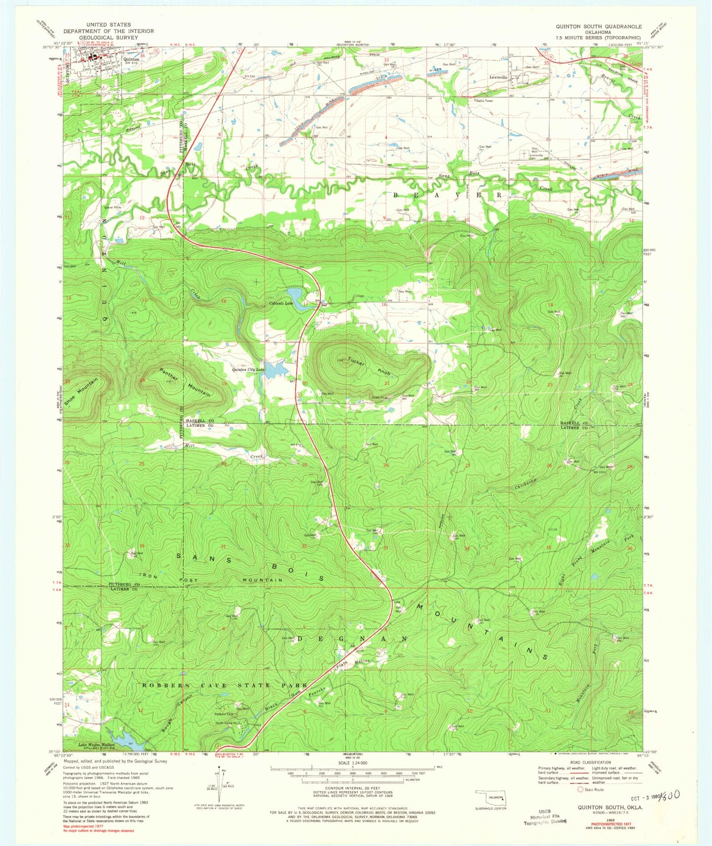
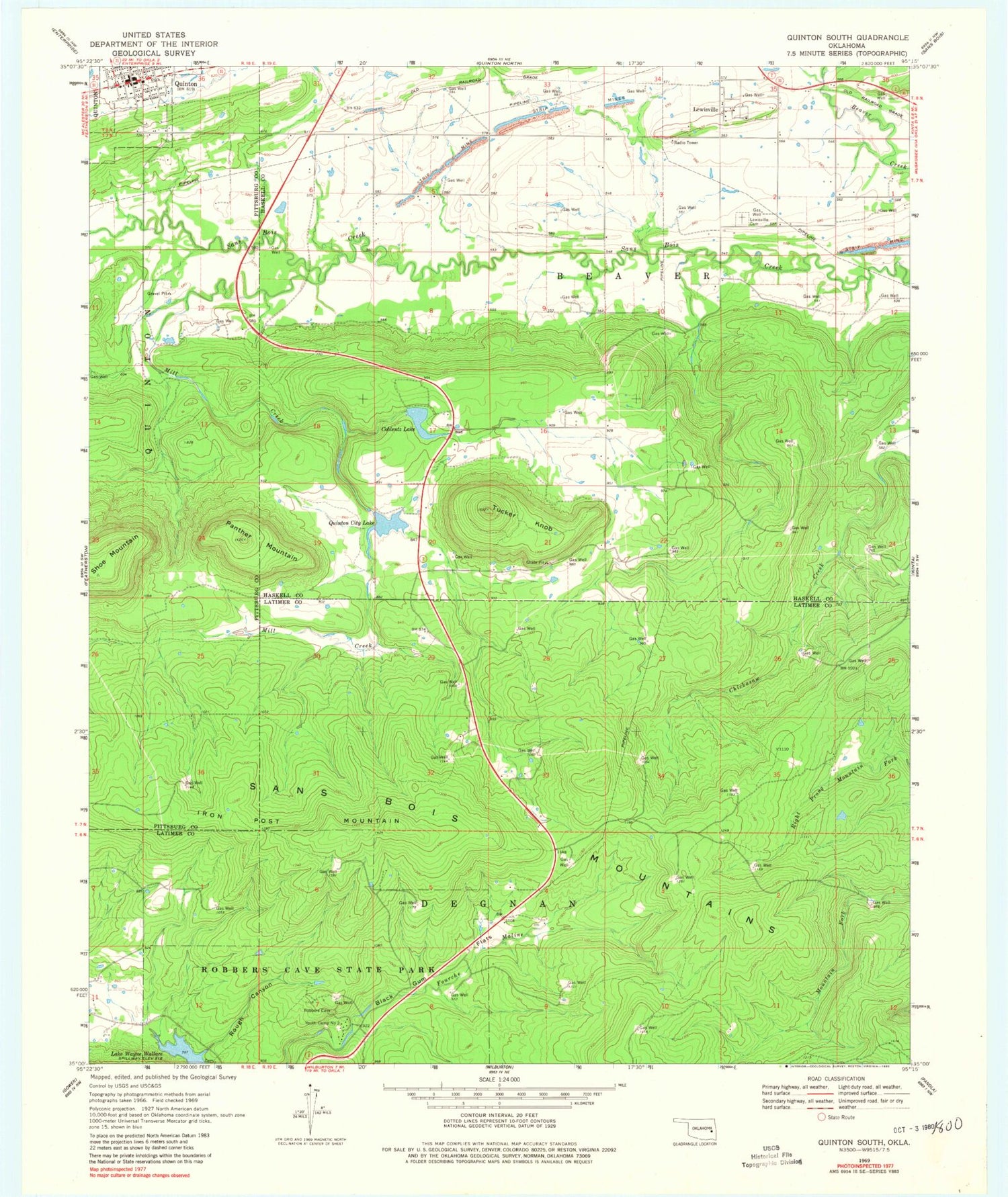
Classic USGS Quinton South Oklahoma 7.5'x7.5' Topo Map
Couldn't load pickup availability
Historical USGS topographic quad map of Quinton South in the state of Oklahoma. Typical map scale is 1:24,000, but may vary for certain years, if available. Print size: 24" x 27"
This quadrangle is in the following counties: Haskell, Latimer, Pittsburg.
The map contains contour lines, roads, rivers, towns, and lakes. Printed on high-quality waterproof paper with UV fade-resistant inks, and shipped rolled.
Contains the following named places: Black Gum Flats, Coblentz Lake, Iron Post Mountain, Lewisville Cemetery, Mill Creek, Panther Mountain, Quinton, Quinton City Lake, Robbers Cave State Park, Rough Canyon, Shoe Mountain, Tucker Knob, Lewisville, Youth Camp Number 2, Quinton Lake Dam, Quinton Lake, Coblentz Lake Dam, Quinton Post Office, Quinton Volunteer Fire Department, Ash Creek Community Fire Department, Quinton Police Department


