MyTopo
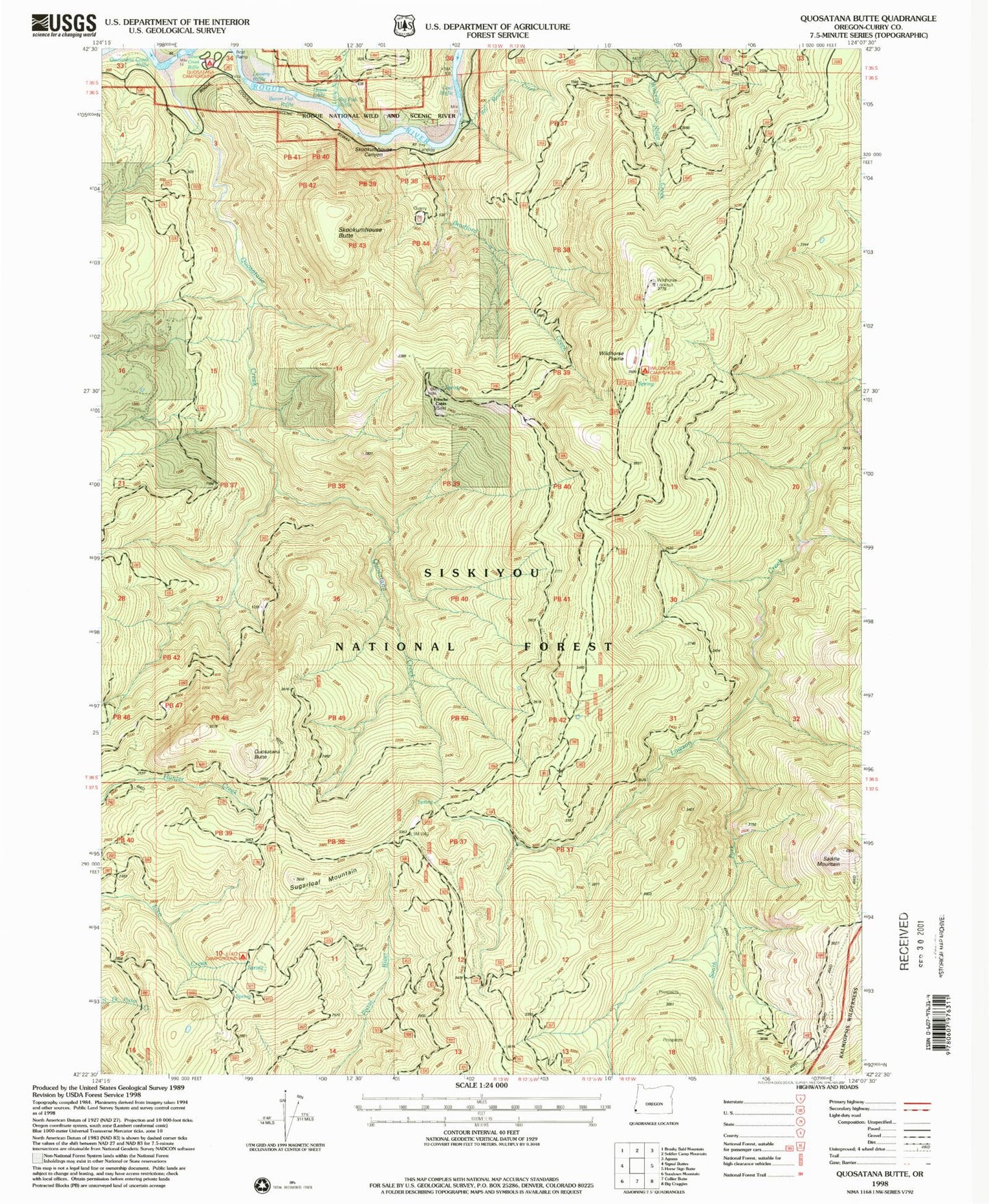
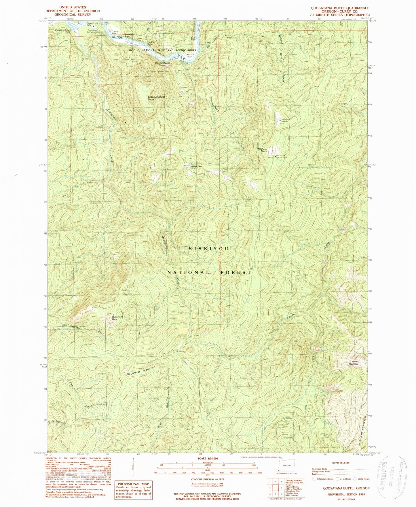
Classic USGS Quosatana Butte Oregon 7.5'x7.5' Topo Map
Couldn't load pickup availability
Historical USGS topographic quad map of Quosatana Butte in the state of Oregon. Map scale may vary for some years, but is generally around 1:24,000. Print size is approximately 24" x 27"
This quadrangle is in the following counties: Curry.
The map contains contour lines, roads, rivers, towns, and lakes. Printed on high-quality waterproof paper with UV fade-resistant inks, and shipped rolled.
Contains the following named places: Bacon Flat Riffle, Big Fish Riffle, Bill Moore Creek, Bowman Ranch, Bradford Creek, Coal Riffle, Curry County, Elko Camp Recreation Site, Fritsche Cabin, Fry Landing, Hayes Eddy, Little Silver Creek, Lowery Riffle, Quosatana Butte, Quosatana Campground Boat Ramp, Quosatana Creek, Quosatana Creek Riffle, Quosatana Recreation Site, Quosation Post Office, Saddle Mountain, Skookumhouse Butte, Skookumhouse Canyon, South Fork Lawson Creek, Sugarloaf Mountain, Wildhorse Lookout, Wildhorse Prairie, Wildhorse Recreation Site, Wilson Cabin


