MyTopo
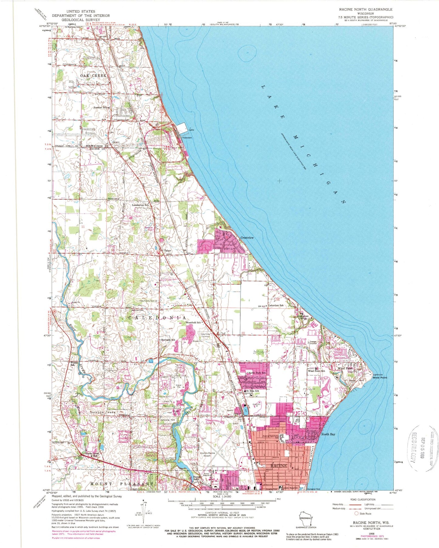
Classic USGS Racine North Wisconsin 7.5'x7.5' Topo Map
Couldn't load pickup availability
Historical USGS topographic quad map of Racine North in the state of Wisconsin. Map scale may vary for some years, but is generally around 1:24,000. Print size is approximately 24" x 27"
This quadrangle is in the following counties: Milwaukee, Racine.
The map contains contour lines, roads, rivers, towns, and lakes. Printed on high-quality waterproof paper with UV fade-resistant inks, and shipped rolled.
Contains the following named places: Armstrong Park, Batten International Airport, Bohemian National Cemetery, Burbank School, Caledonia Fire Department Station 12, Crestview, Deerfield Elementary School, Early Learning Academy, Four Mile Station Post Office, Holy Cross Cemetery, Holy Family Cemetery, Hoods Creek, Hoods Creek School, Horlick Mill, Horlicks 3WR1874 Dam, Horlicks Pond 178, Ives, Jerstad - Agerholm Elementary School, Jerstad - Agerholm Middle School, Johnson Park, Lakeview School, Lamberton School, Melvin Avenue Residential Historic District, North Bay, North Park Elementary School, Oak Creek Fire Department Station 2, Oak Creek Harbor, Oak Creek Power Plant, Olympia Brown Elementary School, Racine Fire Department Station 3, Racine Police Community Oriented Policing House Police Department, Racine Quarry, Rapids School, REAL Charter School, Renak-Polak Maple-Beech Woods State Natural Area, Roosevelt Elementary School, Saint Matthew Parish School, Saint Rita School, Scanlon School, Shoop Park, Shorecrest Shopping Center, Tabor, The Prairie School, Town of Caledonia, Village of North Bay, Village of Wind Point, WBZN-AM (Racine), Westfield School, Wilson School, Wind Point, Wind Point Elementary School, Wind Point Police Department, Windpoint Light Station, WJJA-TV (Racine), WRKR, ZIP Codes: 53402, 53404


