MyTopo
Classic USGS Rackett Nebraska 7.5'x7.5' Topo Map
Regular price
$16.95
Regular price
Sale price
$16.95
Unit price
per
Couldn't load pickup availability
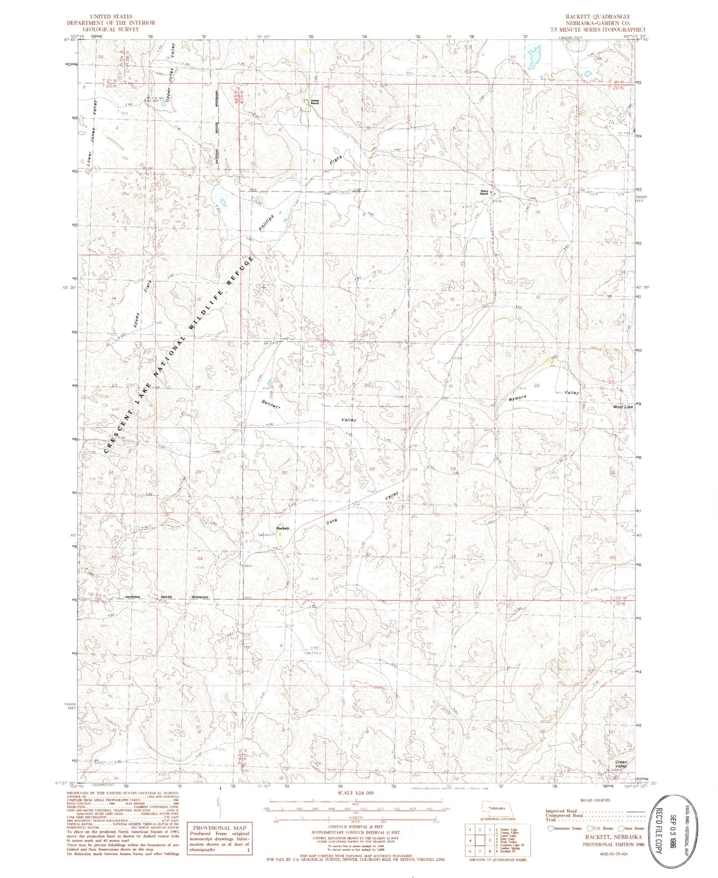
Historical USGS topographic quad map of Rackett in the state of Nebraska. Map scale may vary for some years, but is generally around 1:24,000. Print size is approximately 24" x 27"
This quadrangle is in the following counties: Garden.
The map contains contour lines, roads, rivers, towns, and lakes. Printed on high-quality waterproof paper with UV fade-resistant inks, and shipped rolled.
Contains the following named places: Adams Flats, Bennett Valley, Gate Valley, Grace Ranch, Jensen Ranch, Phillips Flats, Rackett, Rackett Church, Rackett Post Office, School Number 12, South School Number 71, Upper Jones Valley, Ward Lake, Well Valley School, Wymore Valley