MyTopo
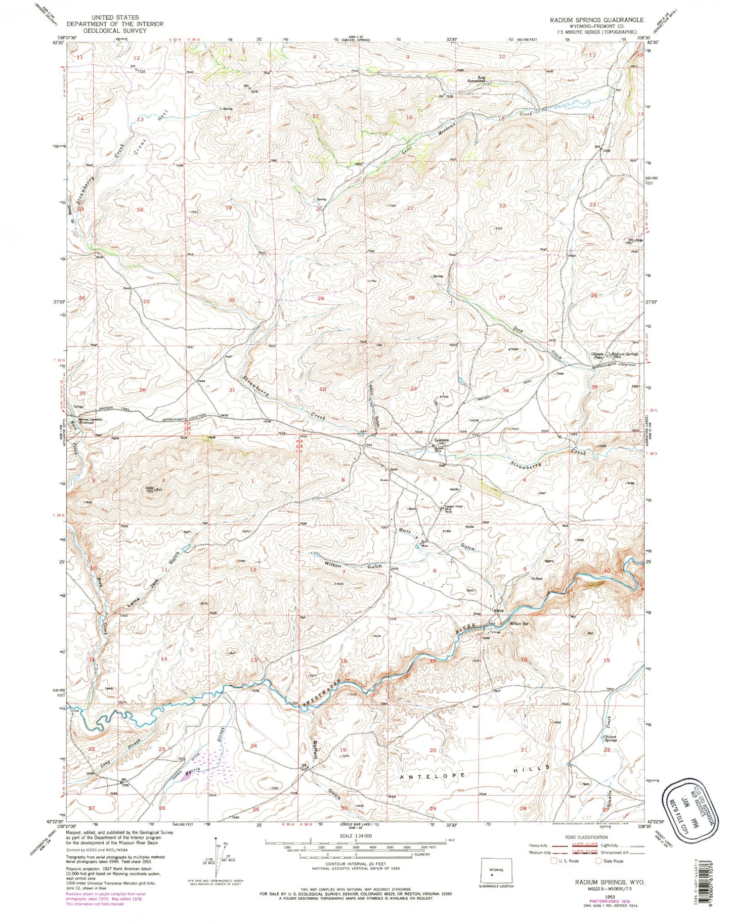
Classic USGS Radium Springs Wyoming 7.5'x7.5' Topo Map
Couldn't load pickup availability
Historical USGS topographic quad map of Radium Springs in the state of Wyoming. Map scale may vary for some years, but is generally around 1:24,000. Print size is approximately 24" x 27"
This quadrangle is in the following counties: Fremont.
The map contains contour lines, roads, rivers, towns, and lakes. Printed on high-quality waterproof paper with UV fade-resistant inks, and shipped rolled.
Contains the following named places: Amanda Mine, Antelope Hills, Big Nugget Claim, Buffalo Gulch, Bullion Mine, Burr Gulch, Burr Mine, Chicken Springs, Crows Nest, Deep Creek, Giblin Gulch, Gilespie Place, Harris Ditch, Harris Slough, Hidden Hand Mine, Iron Duke Mine, Jones Gulch, Lame Jack Gulch, Lewiston, Lewiston Area Mine, Long Slough, Maxwell Claim, Metterling Prospect, Radium Springs, Rate Homestead, Rock Creek, Rock Creek Hollow Cemetery, Wilson Gulch


