MyTopo
Classic USGS Rafter Tennessee 7.5'x7.5' Topo Map
Couldn't load pickup availability
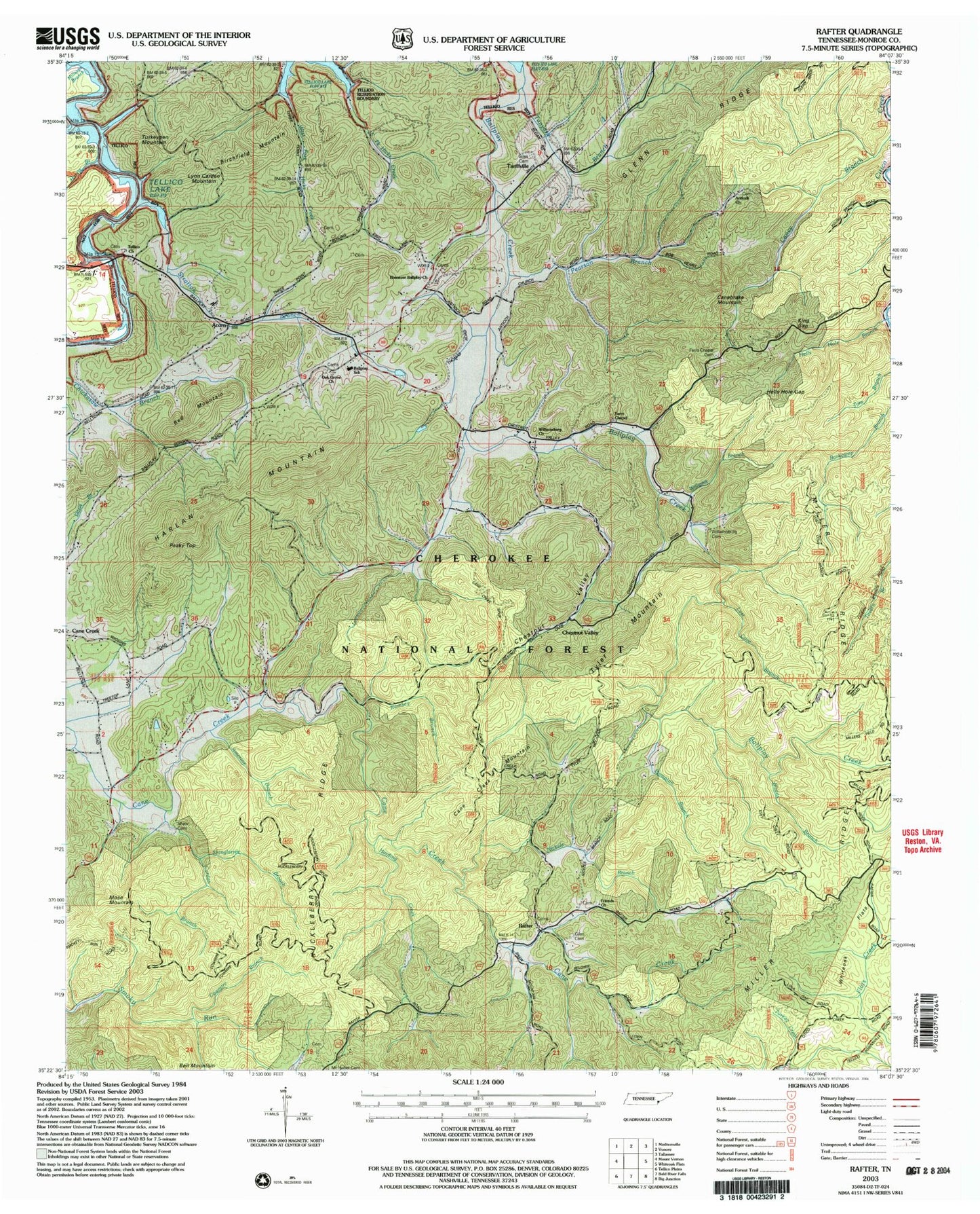
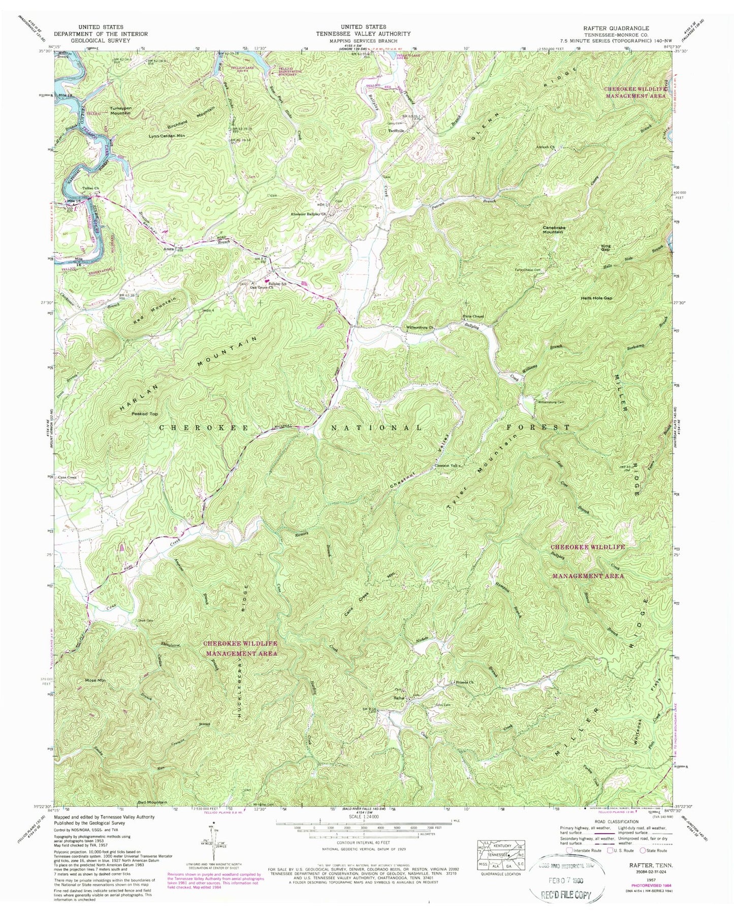
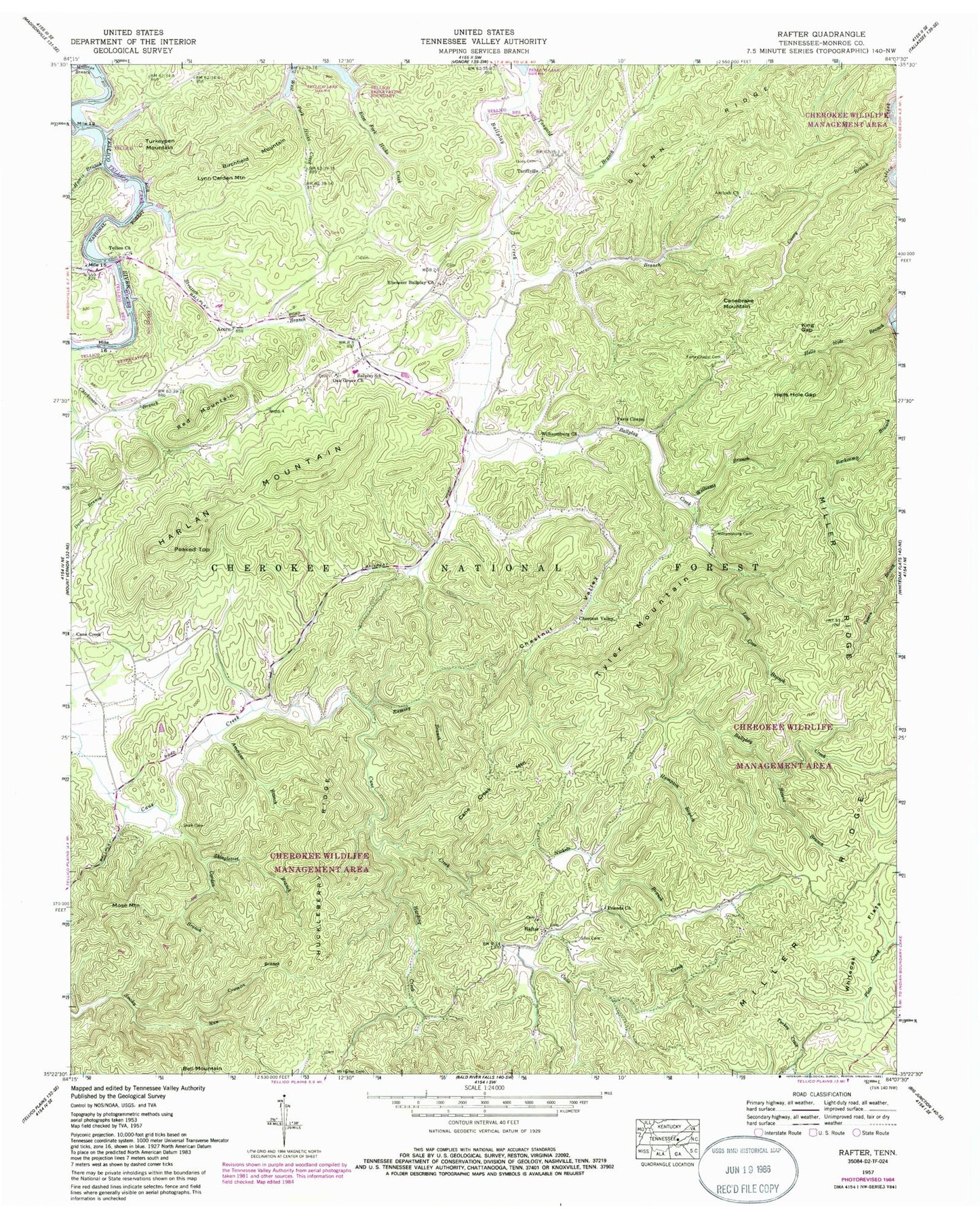
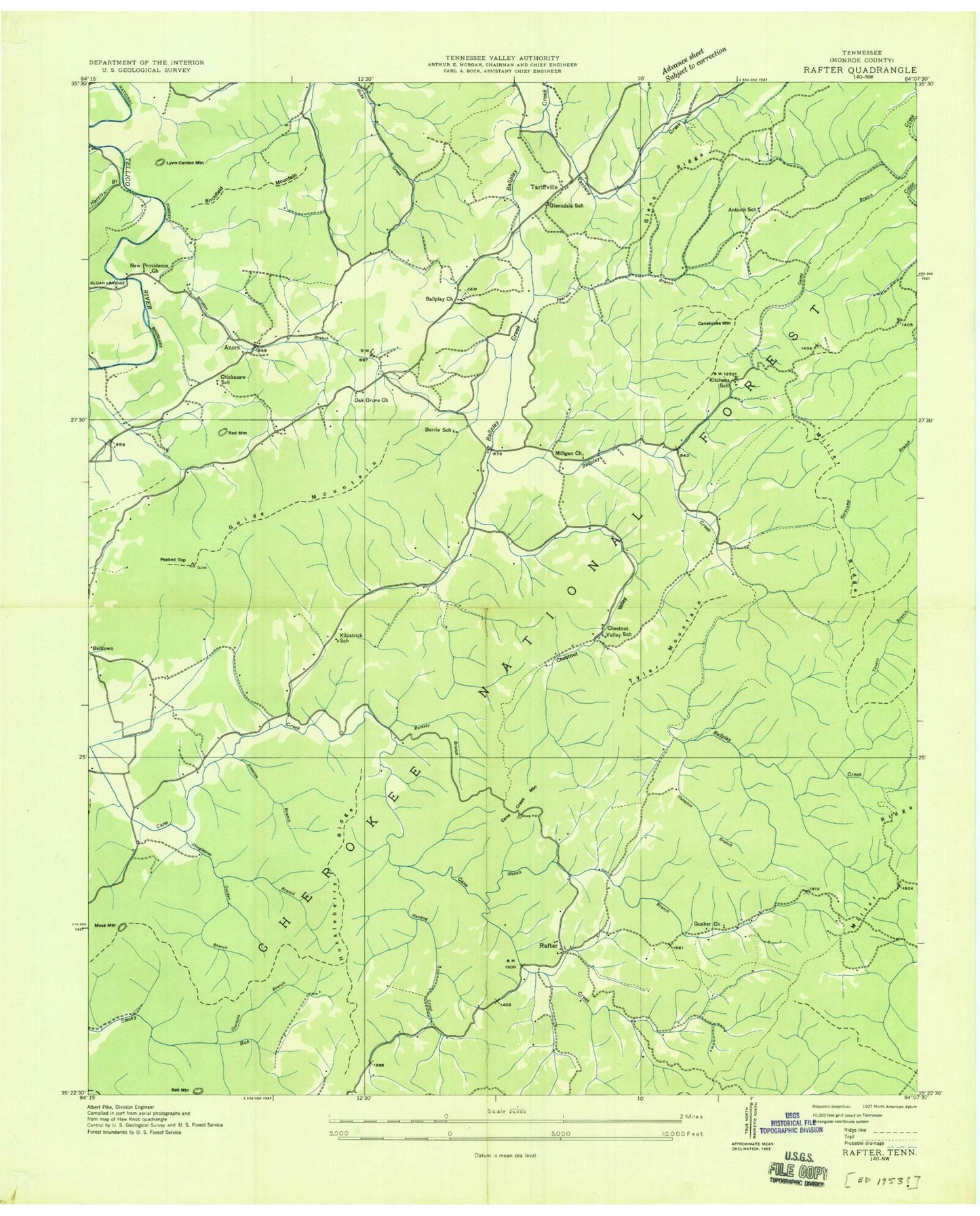
Historical USGS topographic quad map of Rafter in the state of Tennessee. Map scale may vary for some years, but is generally around 1:24,000. Print size is approximately 24" x 27"
This quadrangle is in the following counties: Monroe.
The map contains contour lines, roads, rivers, towns, and lakes. Printed on high-quality waterproof paper with UV fade-resistant inks, and shipped rolled.
Contains the following named places: Acorn, Amerine Branch, Antioch Baptist Church, Antioch School, Ball Play Furnace, Ball Play Volunteer Fire Department, Ballplay, Ballplay School, Birchfield Mountain, Bivens Branch, Burris School, Cagle Branch, Cane Creek Mountain, Canebrake Mountain, Carden Branch, Cherokee Wildlife Management Area, Chestnut Valley, Chestnut Valley School, Chickasaw School, Commissioner District 3, Cowmire Branch, Ebenezer Ballplay Church, Farrs Chapel, Farrs Chapel Cemetery, Friends Church, Giles Cemetery, Glenn Ridge, Glenndale School, Hampton Branch, Harding Creek, Harlan Mountain, Harris Branch, Hells Hole Branch, Hells Hole Gap, Huckleberry Ridge, Kilpatrick School, King Gap, Kitchens School, Lost Cove Branch, Lynn Carden Mountain, Miller Ridge, Milligan Church, Millsaps Branch, Mose Mountain, Mount Isabel Cemetery, Nickels Branch, Oak Grove Church, Peaked Top, Pearson Branch, Quaker Church, Rafter, Rafter School, Rafter Volunteer Fire Department, Ramsey Branch, Red Mountain, Shaw Cemetery, Shingletree Branch, Sloan Bridge, Sloan Bridge Boat Launching Ramp, Stratton Branch, Tanyard Branch, Tariffville, Tellico Cemetery, Tellico Church, Turkeypen Mountain, Tyler Mountain, Williams Branch, Williamsburg Cemetery, Williamsburg Church, ZIP Code: 37885


