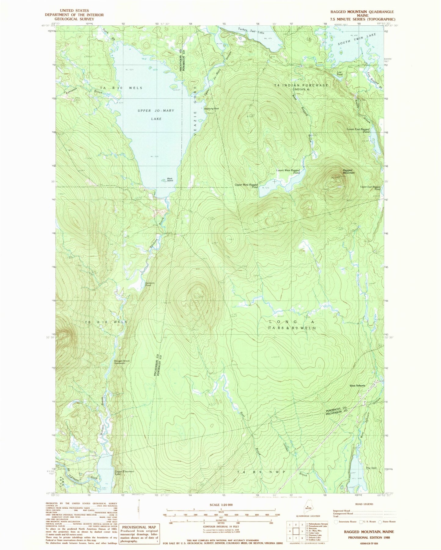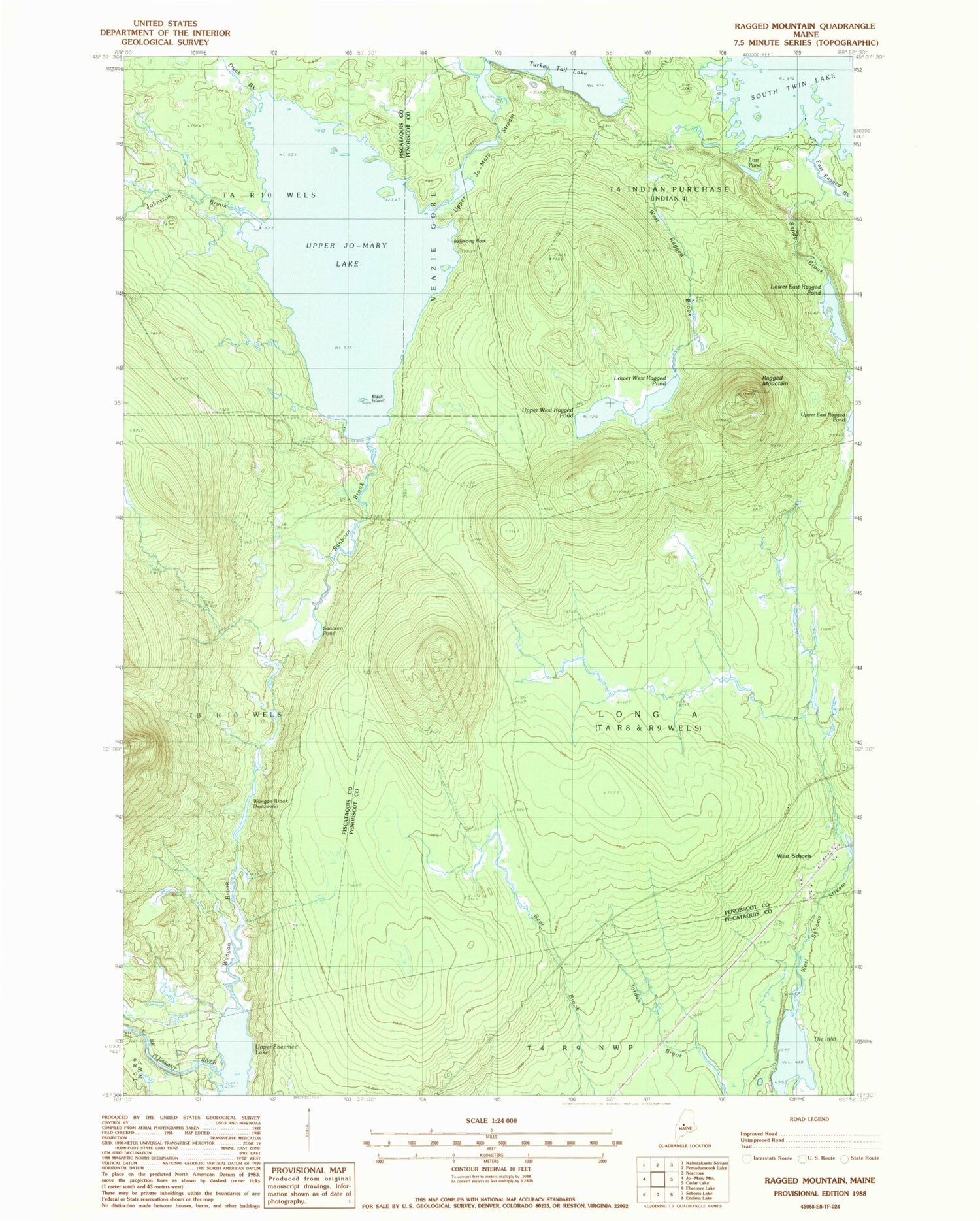
MyTopo
Classic USGS Ragged Mountain Maine 7.5'x7.5' Topo Map
Couldn't load pickup availability
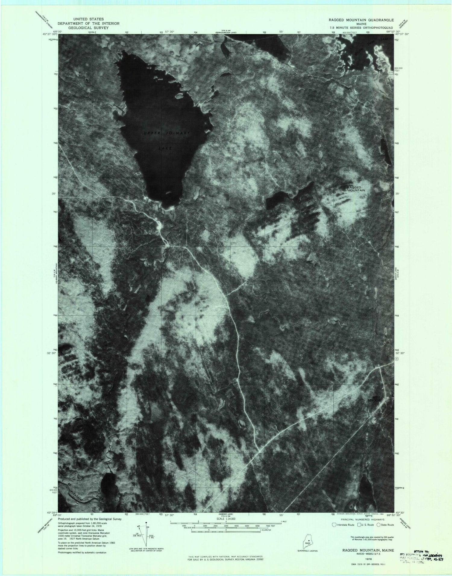
Historical USGS topographic quad map of Ragged Mountain in the state of Maine. Map scale may vary for some years, but is generally around 1:24,000. Print size is approximately 24" x 27"
This quadrangle is in the following counties: Penobscot, Piscataquis.
The map contains contour lines, roads, rivers, towns, and lakes. Printed on high-quality waterproof paper with UV fade-resistant inks, and shipped rolled.
Contains the following named places: Balancing Rock, Black Island, Duck Brook, East Ragged Brook, Johnston Brook, Jo-Mary Trail, Lost Pond, Lower East Ragged Pond, Lower West Ragged Pond, Ragged Mountain, Sanborn Brook, Sanborn Pond, Sandy Brook, The Inlet, Upper Ebeemee Lake, Upper Jo-Mary Lake, Upper Jo-Mary Stream, Upper West Ragged Pond, Veazie Gore, Wangan Brook, Wangan Brook Deadwater, West Ragged Brook, West Seboeis, West Seboeis Stream