MyTopo
Classic USGS Ragland Alabama 7.5'x7.5' Topo Map
Couldn't load pickup availability
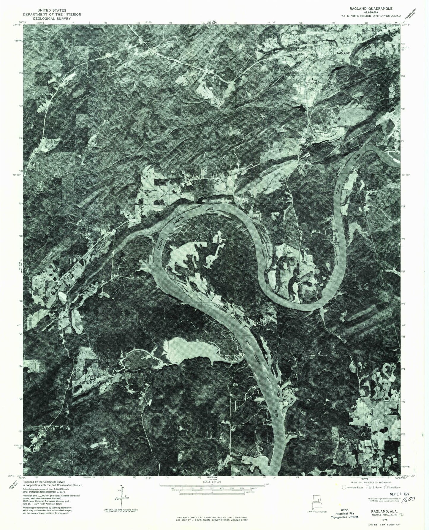
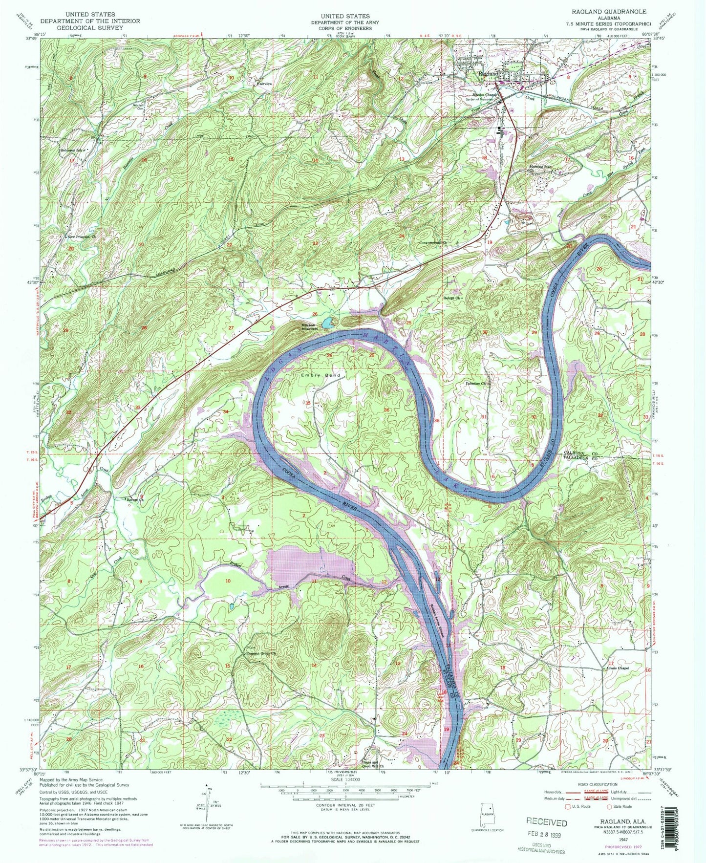
Historical USGS topographic quad map of Ragland in the state of Alabama. Map scale may vary for some years, but is generally around 1:24,000. Print size is approximately 24" x 27"
This quadrangle is in the following counties: Calhoun, St. Clair, Talladega.
The map contains contour lines, roads, rivers, towns, and lakes. Printed on high-quality waterproof paper with UV fade-resistant inks, and shipped rolled.
Contains the following named places: Ackers Chapel, Arnold Branch, Blue Spring Fork, Box Cemetery, Box Shoals, Broken Arrow Creek, Broken Arrow Shoals, Bruner Creek, Congressional Church, Denson Island, Dry Creek, Embry Bend, Fairview, Fairview Church, Fish Pond Club House, Garden of Memories Cemetery, Green Branch, Greens Mill, Henderson Mountain, Kirkseys Bend, Leather Creek, Lock Four, Macedonia Church, McCoys Island, Mitchell Cemetery, Mitchell Mountain, Mitchells Ferry, Morning Star Church, National Dam, National Lake, New Prospect Church, New Town Elementary School, Newport Church, No Business Creek, Oak Grove Church, Old Mitchell Cemetery, Palestine Missionary Baptist Church, Peace and Good Will Church, Pleasant Grove Church, Ragland, Ragland High School, Ragland Post Office, Ragland Volunteer Fire Department and Ragland Rescue Service, Refuge Baptist Church, Refuge Church, Rhodes Chapel, Robinson School, Shelor, Sherwood Shores, Starvation Valley, Sweet Springs, Town of Ragland, Trout Creek, Wester Cemetery, Woods Ferry, ZIP Code: 35131


