MyTopo
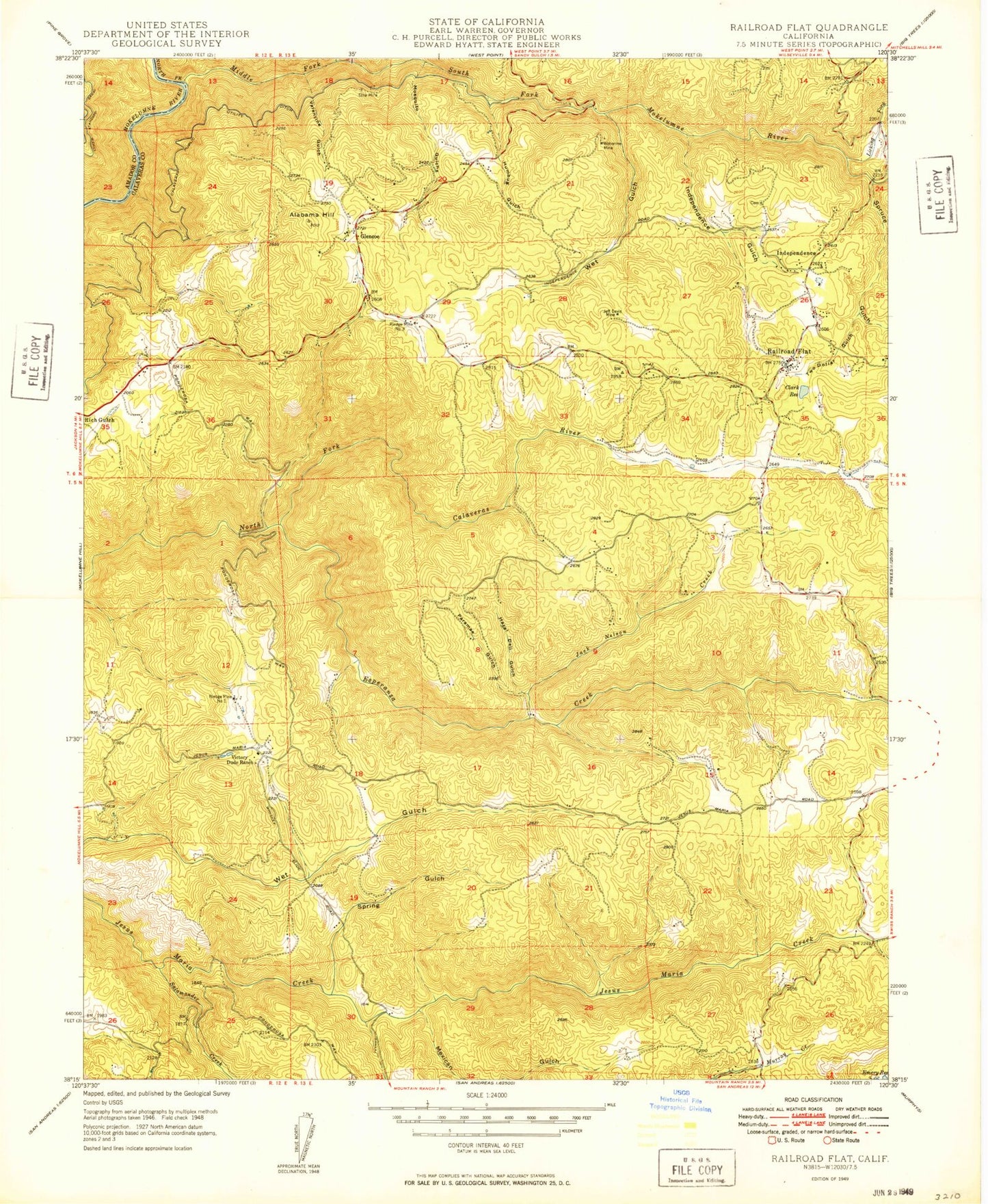
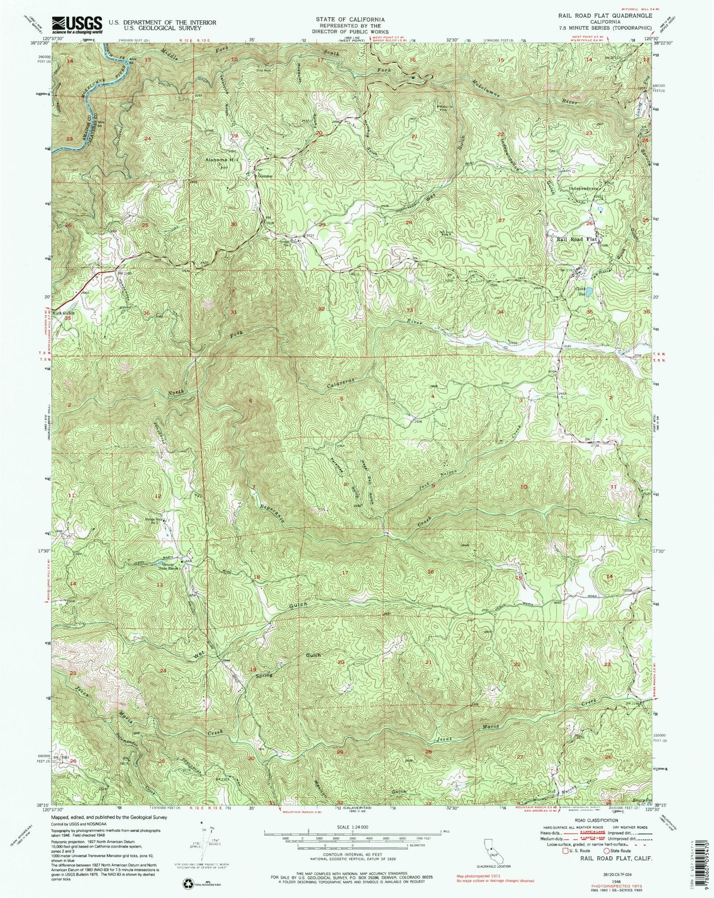
Classic USGS Rail Road Flat California 7.5'x7.5' Topo Map
Couldn't load pickup availability
Historical USGS topographic quad map of Rail Road Flat in the state of California. Map scale may vary for some years, but is generally around 1:24,000. Print size is approximately 24" x 27"
This quadrangle is in the following counties: Amador, Calaveras.
The map contains contour lines, roads, rivers, towns, and lakes. Printed on high-quality waterproof paper with UV fade-resistant inks, and shipped rolled.
Contains the following named places: Alabama Hill, Central Calaveras Fire and Rescue Protection District Station 1 Headquarters, Central Calaveras Fire and Rescue Protection District Station 4, Clark Reservoir, Esperanza Creek, Etna Mine, Glencoe, Glencoe Post Office, Hazel Dell Gulch, Humbug Gulch, Independence, Independence Cemetery, Independence Gulch, Jack Nelson Creek, Jeff Davis 82-004 Dam, Jeff Davis Mine, Licking Fork, Mexican Gulch, Middle Fork Mokelumne River, Mosquito Gulch, North Fork Mokelumne River, Paramae Gulch, Rail Road Flat, Rail Road Flat Census Designated Place, Rail Road Flat Elementary School, Rail Road Flat Post Office, Rindge Mine Number One, Rindge Mine Number Three, Salamander Creek, South Fork Mokelumne River, Spring Gulch, Spruce Gulch, Two Dollar Gulch, Valentine Gulch, Victory Dude Ranch, Wet Gulch, ZIP Code: 95232