MyTopo
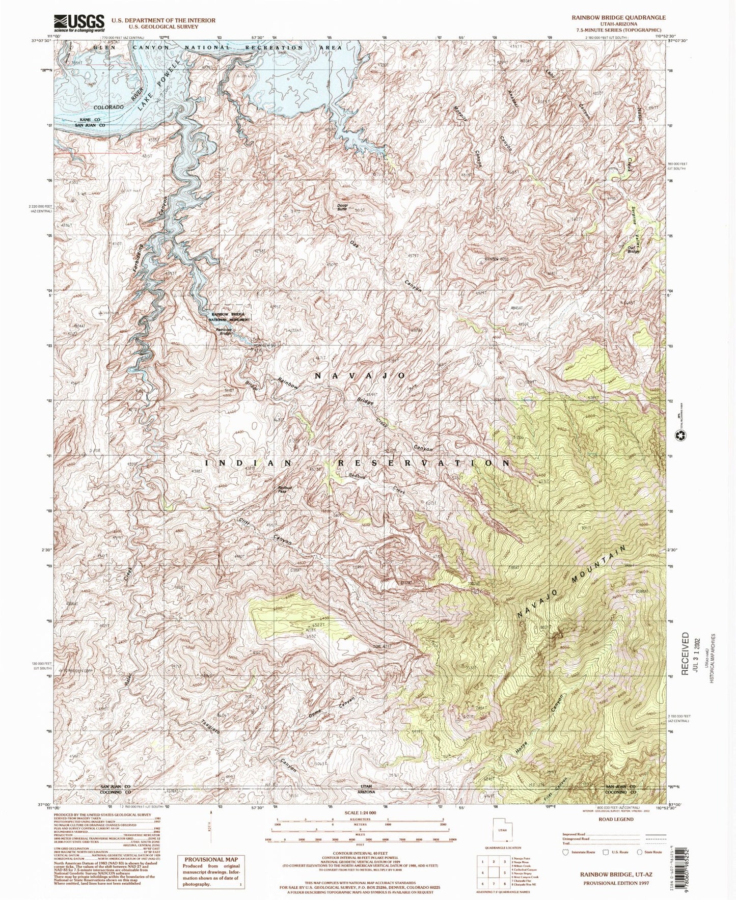
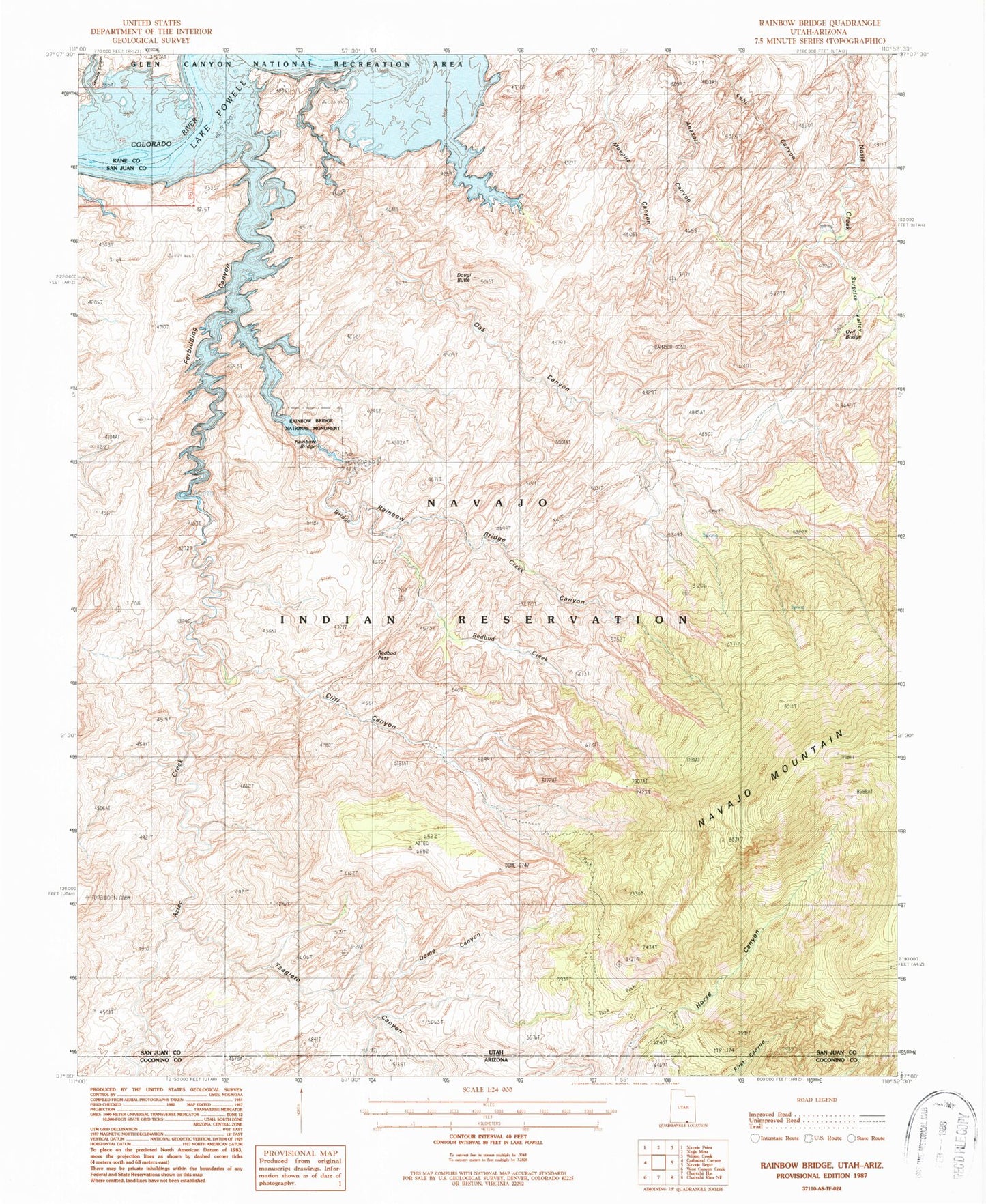
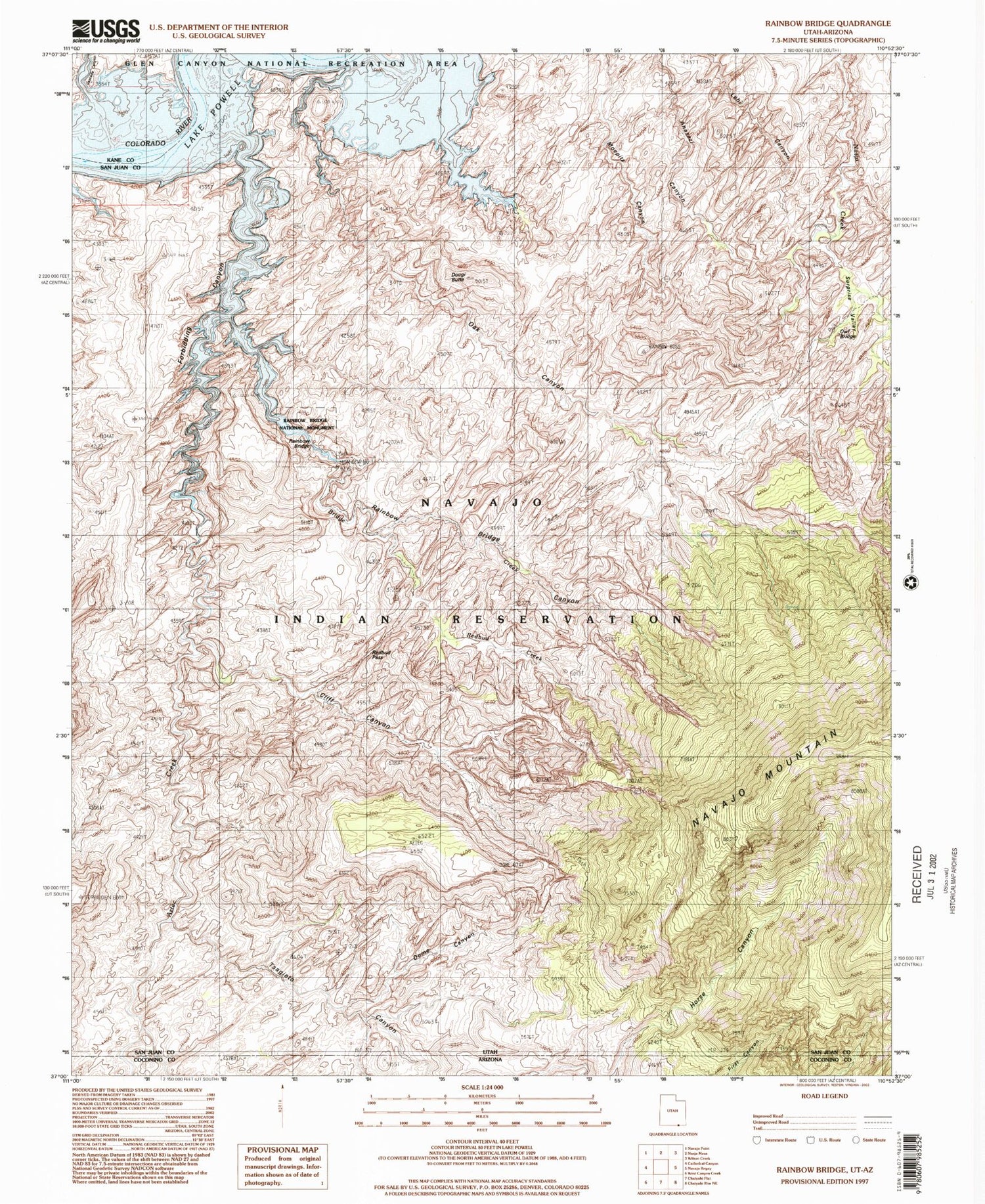
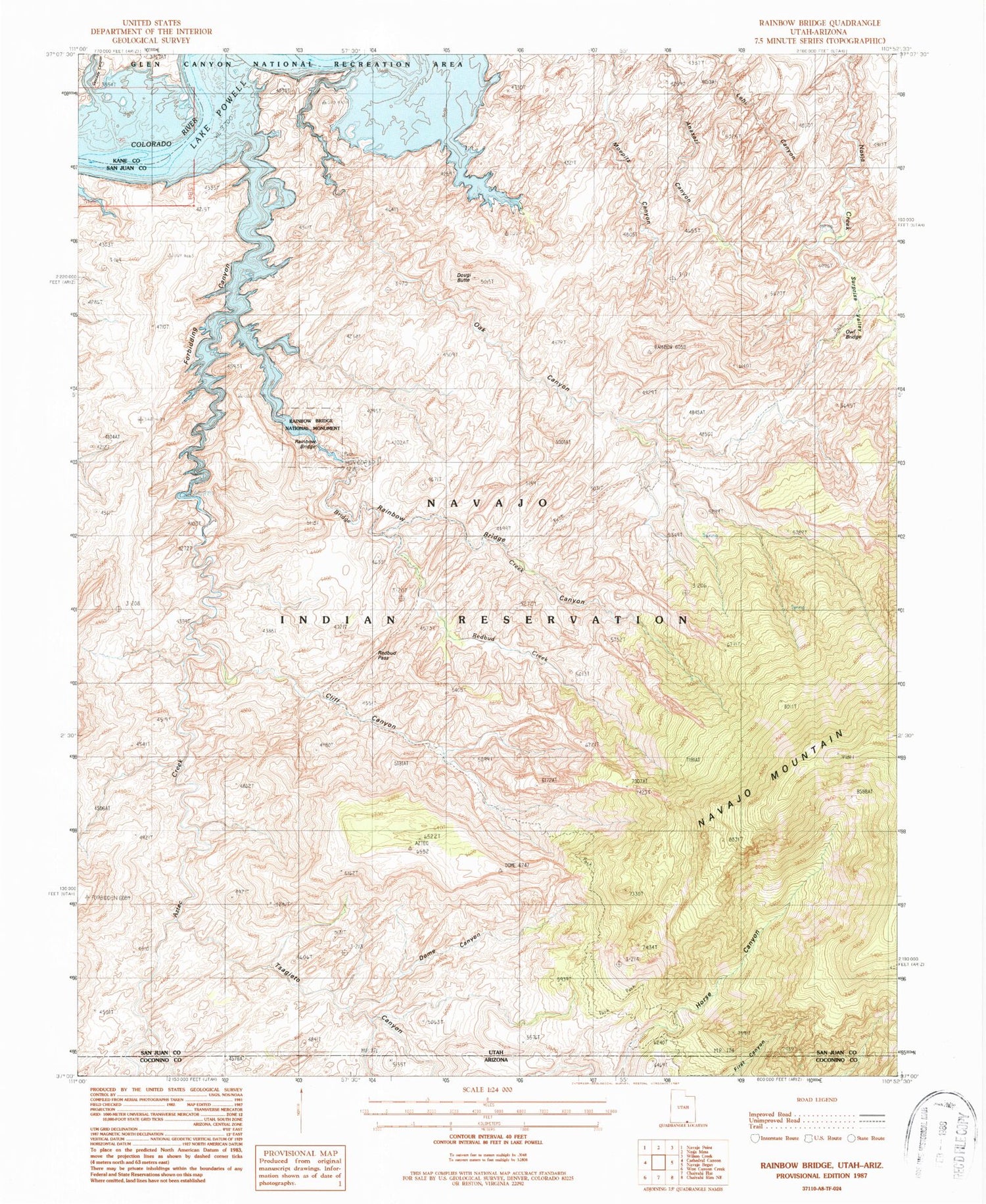
Classic USGS Rainbow Bridge Utah 7.5'x7.5' Topo Map
Couldn't load pickup availability
Historical USGS topographic quad map of Rainbow Bridge in the states of Utah, Arizona. Typical map scale is 1:24,000, but may vary for certain years, if available. Print size: 24" x 27"
This quadrangle is in the following counties: Coconino, Kane, San Juan.
The map contains contour lines, roads, rivers, towns, and lakes. Printed on high-quality waterproof paper with UV fade-resistant inks, and shipped rolled.
Contains the following named places: Tsagieto Canyon, Rainbow Bridge National Monument, Aztec Creek, Bridge Creek, Cliff Canyon, Dome Canyon, Oak Canyon, Rainbow Bridge Canyon, Redbud Creek, Redbud Pass, Surprise Valley, Lookout Ridge, Oak Glens, Rainbow Bridge Floating Marina, Rainbow Lodge Site Trailhead to Rainbow Bridge, Yabut Pass, Cascade Canyon, Owl Bridge, Rainbow Bridge, Dougi Butte, Echo Camp, Johnsons Hole, Navajo Mountain Trailhead to Rainbow Bridge, No Name Mesa, Painted Rocks, Forbidding Canyon, White Crag Natural Bridge, Rainbow Lodge Spring


