MyTopo
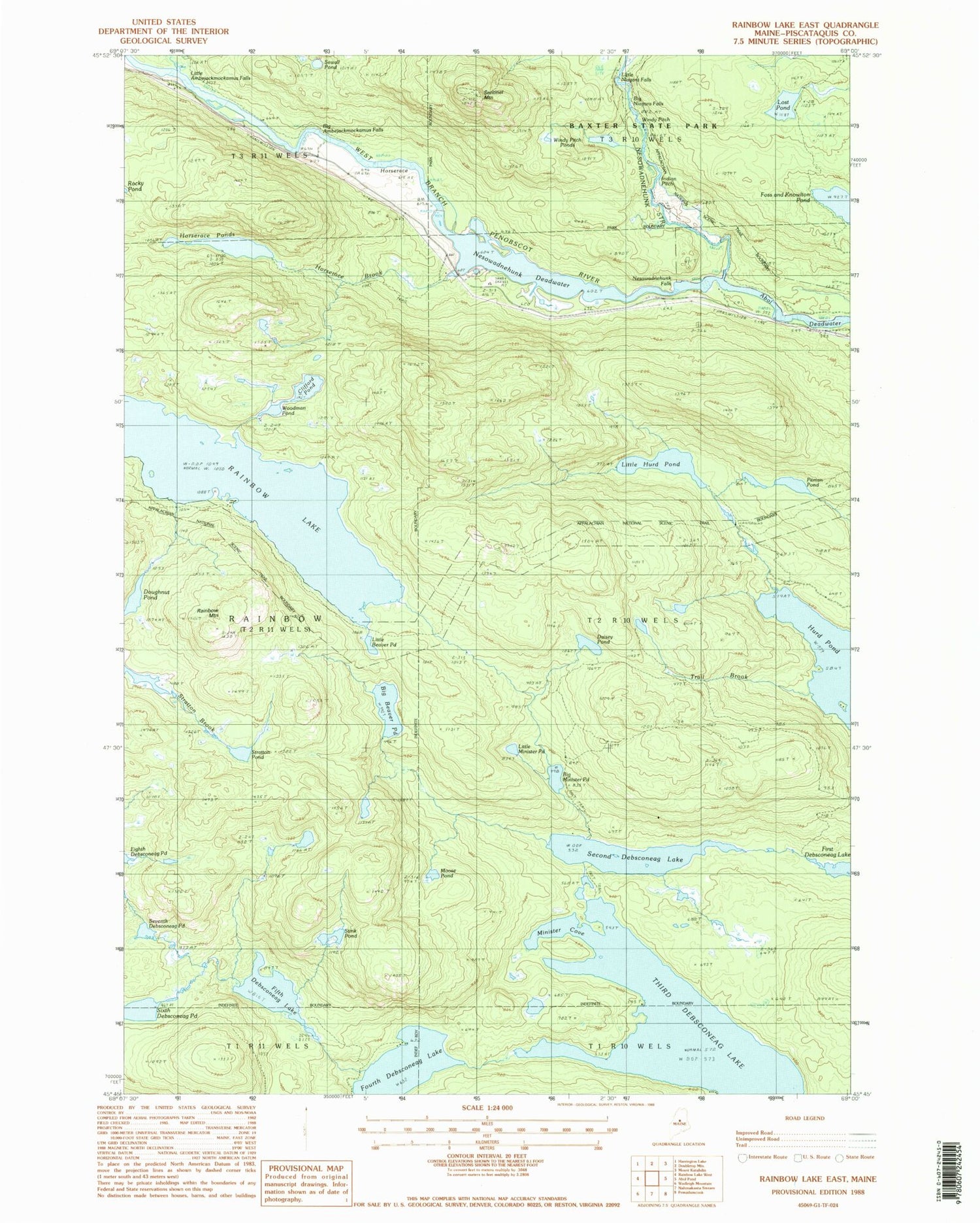
Classic USGS Rainbow Lake East Maine 7.5'x7.5' Topo Map
Couldn't load pickup availability
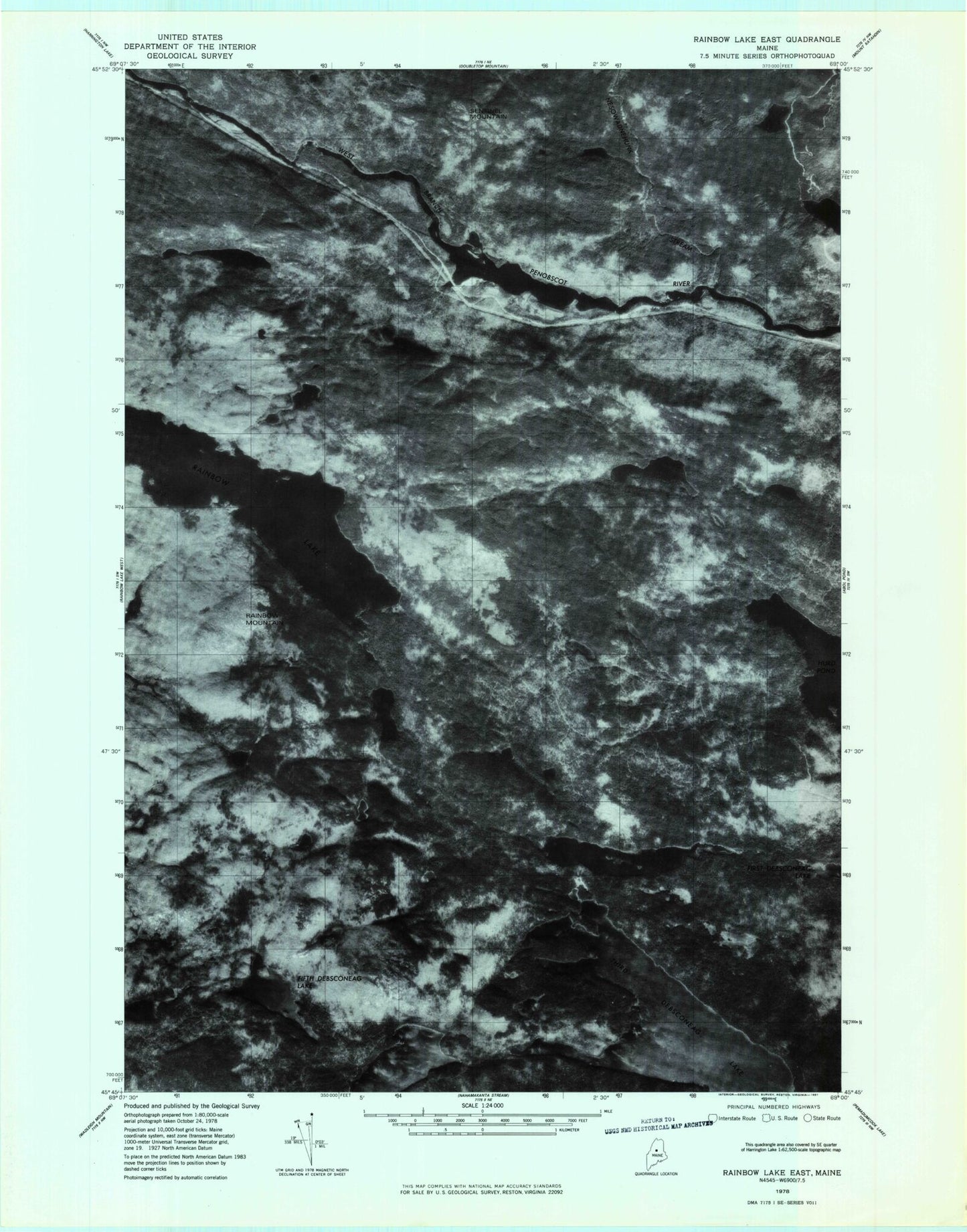
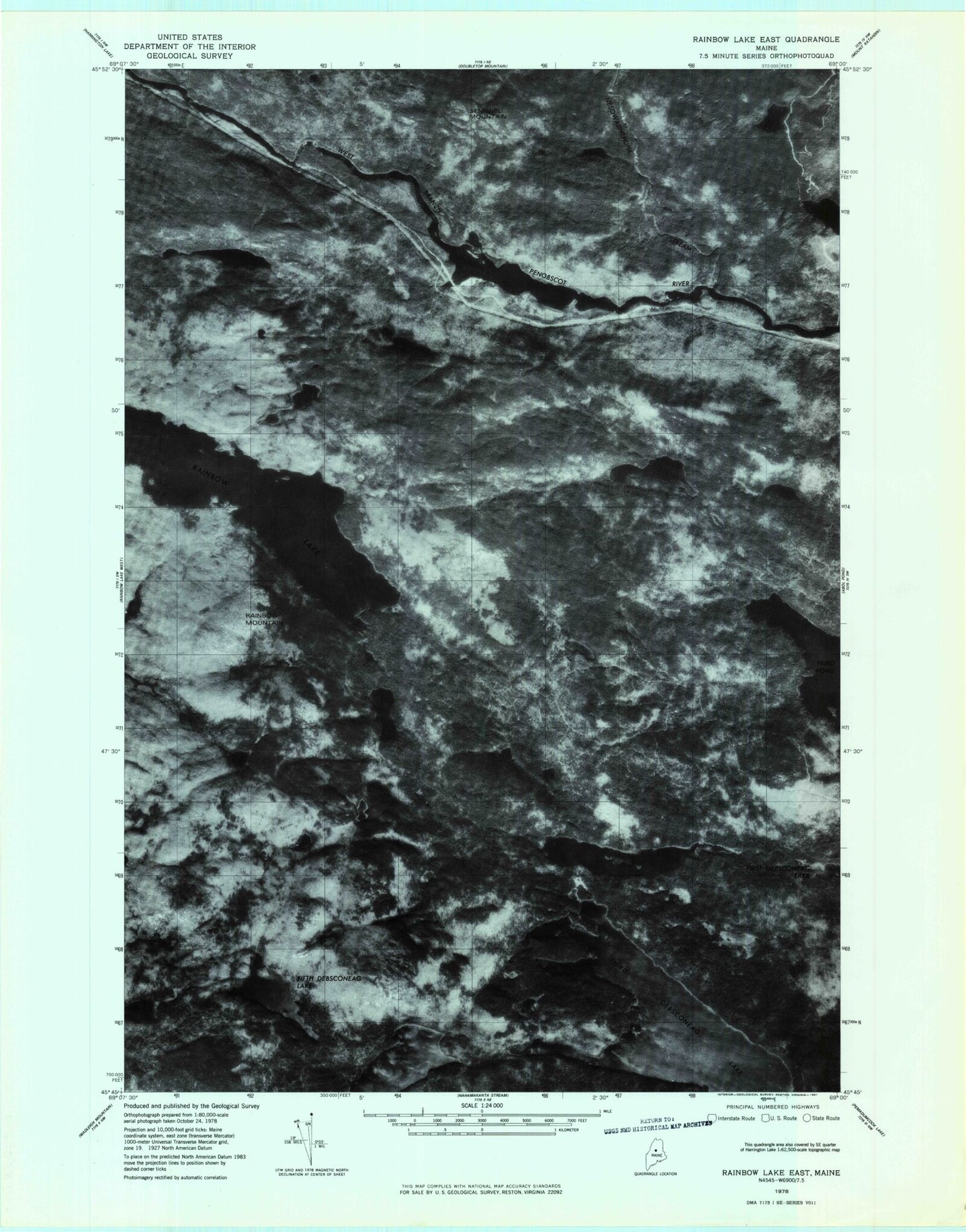
Historical USGS topographic quad map of Rainbow Lake East in the state of Maine. Typical map scale is 1:24,000, but may vary for certain years, if available. Print size: 24" x 27"
This quadrangle is in the following counties: Piscataquis.
The map contains contour lines, roads, rivers, towns, and lakes. Printed on high-quality waterproof paper with UV fade-resistant inks, and shipped rolled.
Contains the following named places: Big Ambejackmockamus Falls, Big Beaver Pond, Big Minister Pond, Big Niagara Falls, Blue Trail, Clifford Pond, Daisey Pond, Doughnut Pond, Fifth Debsconeag Lake, Foss and Knowlton Pond, Fourth Debsconeag Lake, Horserace, Horserace Brook, Horserace Ponds, Indian Pitch, Indian Pitch Ponds, Little Ambejackmockamus Falls, Little Beaver Pond, Little Hurd Pond, Little Minister Pond, Lost Pond, Minister Cove, Moose Pond, Nesowadnehunk Deadwater, Nesowadnehunk Falls, Nesowadnehunk Stream, Pitman Pond, Rainbow Lake, Rainbow Mountain, Second Debsconeag Lake, Sentinel Mountain, Seventh Debsconeag Pond, Sewall Pond, Sixth Debsconeag Pond, Stink Pond, Stratton Pond, Third Debsconeag Lake, Toll Dam, Trail Brook, Windy Pitch, Woodman Pond, Little Niagara Falls, Third Debsconeag Lake Dam, T2 R10 WELS