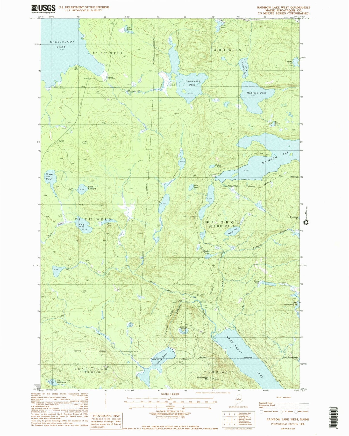
MyTopo
Classic USGS Rainbow Lake West Maine 7.5'x7.5' Topo Map
Couldn't load pickup availability
Historical USGS topographic quad map of Rainbow Lake West in the state of Maine. Typical map scale is 1:24,000, but may vary for certain years, if available. Print size: 24" x 27"
This quadrangle is in the following counties: Piscataquis.
The map contains contour lines, roads, rivers, towns, and lakes. Printed on high-quality waterproof paper with UV fade-resistant inks, and shipped rolled.
Contains the following named places: Bean Brook, Bean Pond, Bean Ponds, Bear Pond, Buck Pond, Carry Pond, Chesuncook Pond, Chesuncook Stream, Collins Pond, Crescent Pond, Egg Pond, Eighth Debsconeag Pond, Gould Brook, Gould Pond, Grassy Pond, Gulliver Brook, Holbrook Pond, Kelly Pond, Little Female Pond, Little Holbrook Pond, Little Kelly Pond, Murphy Ponds, Nahmakanta Lake, Pollywog Pond, Pollywog Stream, Pym Pond, Rainbow Stream, Rocky Pond, Stratton Brook, Rainbow Lake Dam, Nahmakanta Lake Camps, Rainbow Township