MyTopo
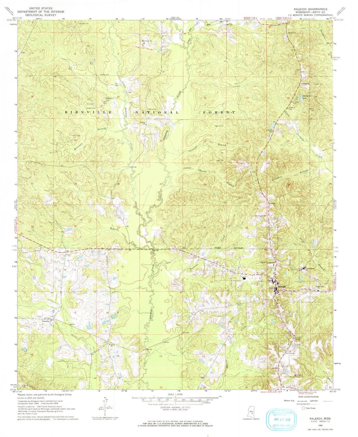
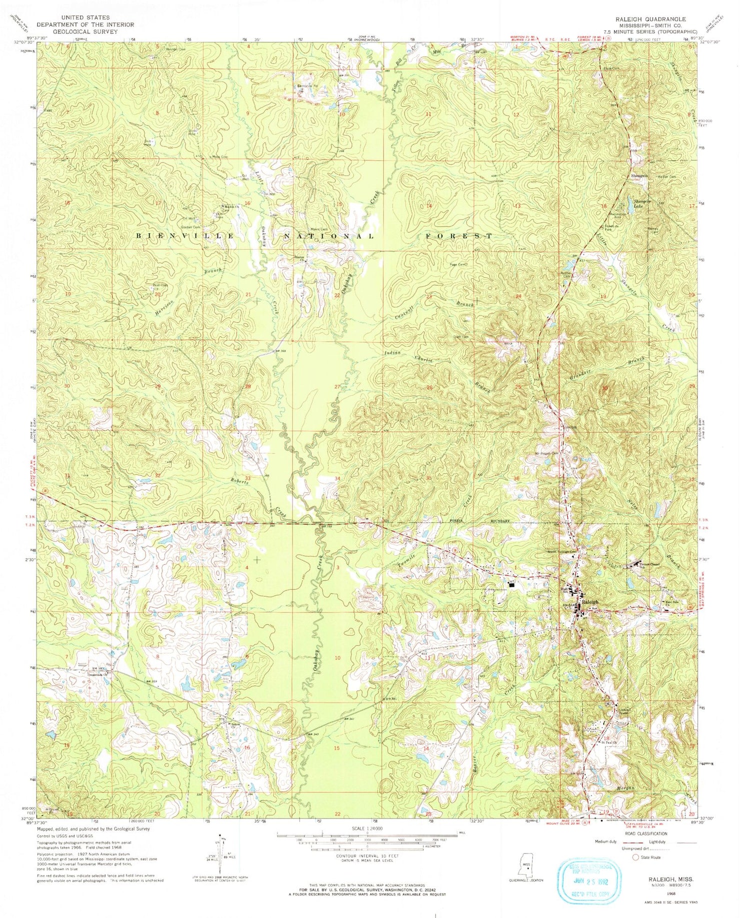
Classic USGS Raleigh Mississippi 7.5'x7.5' Topo Map
Couldn't load pickup availability
Historical USGS topographic quad map of Raleigh in the state of Mississippi. Map scale may vary for some years, but is generally around 1:24,000. Print size is approximately 24" x 27"
This quadrangle is in the following counties: Smith.
The map contains contour lines, roads, rivers, towns, and lakes. Printed on high-quality waterproof paper with UV fade-resistant inks, and shipped rolled.
Contains the following named places: Austin Cemetery, Barber Cemetery, Barnes Cemetery, Boykin Church, Boykin Church cemetery, Boykin Church Oil Field, Cantwell Branch, Chisolm Pit, Craft Cemetery, Crossroads Church, Crumpton Lake Dam, East Side Church, First Baptist Church, Gordan Cemetery, Grandsir Branch, Harrison Branch, Henderson Family Cemetery, Hordville, Indian Charlie Branch, Little Oakohay Creek, Mile Branch, Moss Cemetery, Moulder Cemetery, Mount Pisgah Cemetery, Myers Cemetery, North Raleigh Cemetery, Page Cemetery, Raleigh, Raleigh Cemetery, Raleigh Elementary School, Raleigh Fire Department, Raleigh High School, Raleigh Police Department, Raleigh Post Office, Raleigh United Methodist Church, Roberts Creek, Saint Paul Church, Salem Church, Salem School, Sharon Baptist Church Cemetery, Sharon Church, Shongelo, Shongelo Lake, Shongelo School, Smith County, Smith County Sheriff's Office, State Roadside Park Picnic Area, Town of Raleigh, Turner Chapel Elementary School, Turner Chapel School, Twomile Creek, Upper Leaf River Number 9 Dam, Yellow Bill Creek


