MyTopo
Classic USGS Ralph Alabama 7.5'x7.5' Topo Map
Couldn't load pickup availability
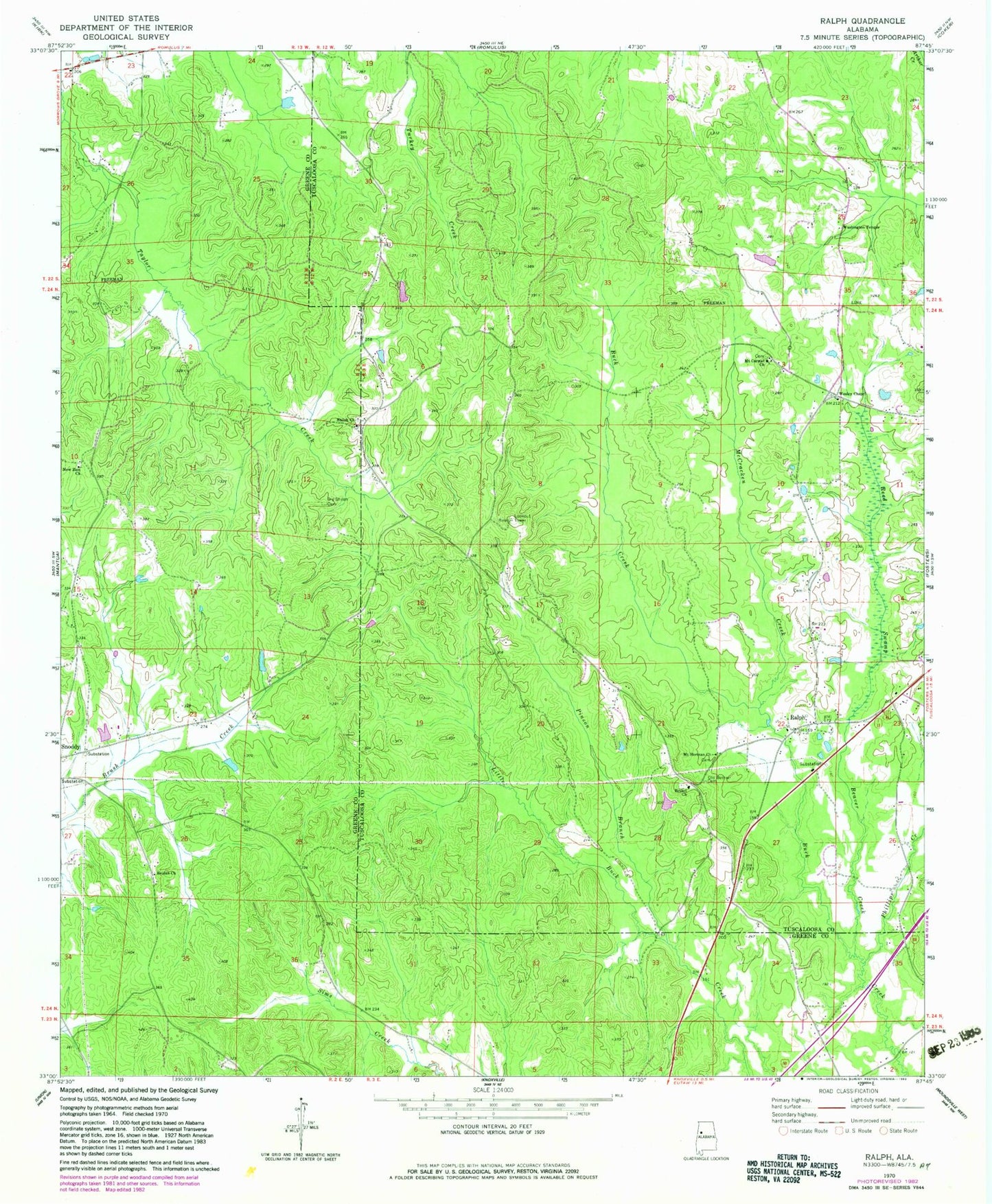
Historical USGS topographic quad map of Ralph in the state of Alabama. Map scale may vary for some years, but is generally around 1:24,000. Print size is approximately 24" x 27"
This quadrangle is in the following counties: Greene, Tuscaloosa.
The map contains contour lines, roads, rivers, towns, and lakes. Printed on high-quality waterproof paper with UV fade-resistant inks, and shipped rolled.
Contains the following named places: Beaver Creek, Bethel Baptist Church, Bethel Cemetery, Beulah Baptist Church, Beulah Cemetery, Beulah School, Boom, Copperas Springs, Dowling School, Enterprise School, Fosters - Ralph Fire Protection District Ralph Station, McCracken Creek, Moseley, Mount Carmel Cemetery, Mount Carmel Methodist Church, Mount Herman Cemetery, Mount Herman Church, New Zion Baptist Church, Old Bethel Cemetery, Old Shiloh Cemetery, Phillips Creek, Pinson Branch, Ralph, Ralph Post Office, Reed Swamp, Sealy Cemetery, Shadowood, Shechi Lake Dam Number Two, Shechi Lake Number Two, Shiloh Baptist Church, Shiloh Cemetery, Shiloh School, Washington Temple Church of God in Christ, Wesley Chapel Cemetery, Wesley Chapel School, Wesley Chapel United Methodist Church, ZIP Code: 35480