MyTopo
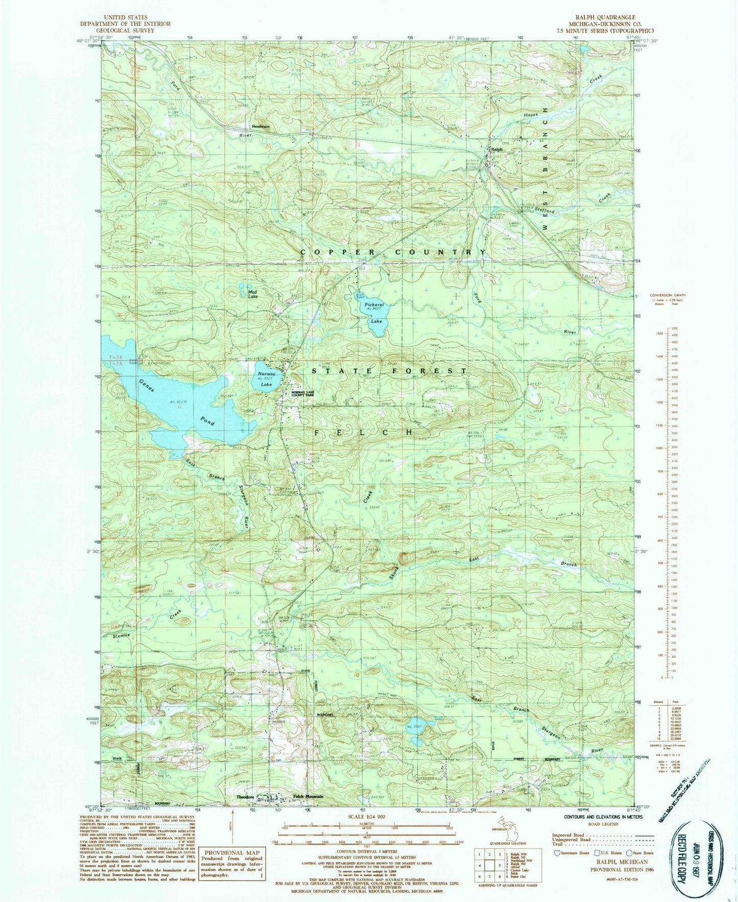
Classic USGS Ralph Michigan 7.5'x7.5' Topo Map
Couldn't load pickup availability
Historical USGS topographic quad map of Ralph in the state of Michigan. Typical map scale is 1:24,000, but may vary for certain years, if available. Print size: 24" x 27"
This quadrangle is in the following counties: Dickinson.
The map contains contour lines, roads, rivers, towns, and lakes. Printed on high-quality waterproof paper with UV fade-resistant inks, and shipped rolled.
Contains the following named places: East Branch Skunk Creek, Felch Mountain, Hayes Creek, Norway Lake, Pickerel Lake, Ralph, Ralph Cemetery - Whispering Pines Cemetery, Sixmile Creek, Skunk Creek, Stafford Creek, Theodore, Gene Pond, Dickinson County, Township of Felch, Norway Lake County Park, Mud Lake, Henderson, Genes Pond State Forest Campground, Ralph Station (historical), Ralph Post Office (historical), Felch Mountain Bible Chapel, West Branch Township Volunteer Fire Department