MyTopo
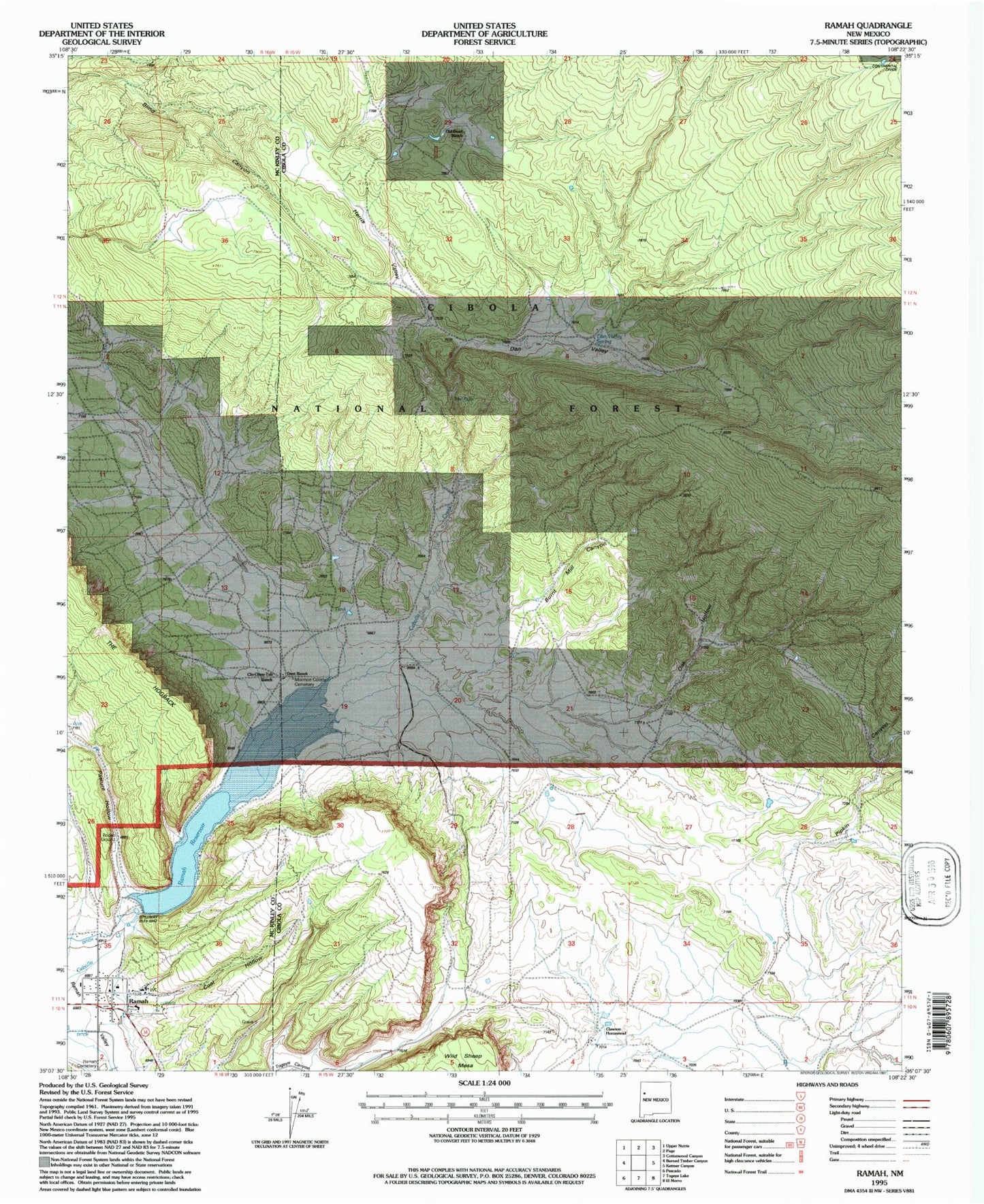
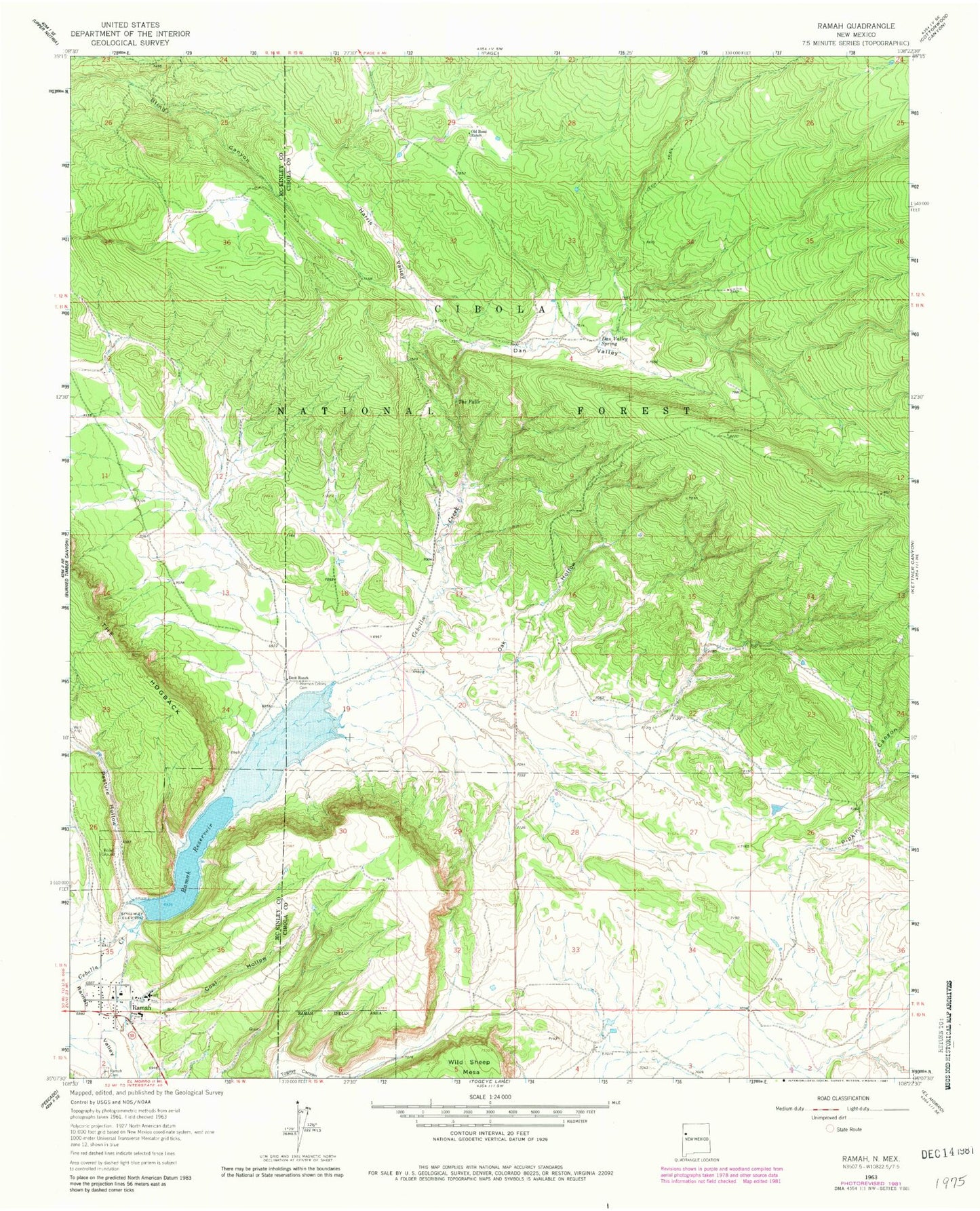
Classic USGS Ramah New Mexico 7.5'x7.5' Topo Map
Couldn't load pickup availability
Historical USGS topographic quad map of Ramah in the state of New Mexico. Map scale may vary for some years, but is generally around 1:24,000. Print size is approximately 24" x 27"
This quadrangle is in the following counties: Cibola, McKinley.
The map contains contour lines, roads, rivers, towns, and lakes. Printed on high-quality waterproof paper with UV fade-resistant inks, and shipped rolled.
Contains the following named places: Ashcroft-Merrill Historic District, Burnt Mill Canyon, Clawson Homestead, Clo-Chew-Tah Ranch, Coal Hollow, Dan Valley, Dan Valley Spring, Dent Ranch, Harris Valley, Mormon Colony Cemetery, Mystic Bluffs Airport, Oak Hollow, Old Bond Ranch, Pasture Hollow, Pipkin Canyon, Ramah, Ramah Cemetery, Ramah Elementary School, Ramah High School, Ramah Post Office, Ramah Reservoir, Ramah Reservoir Dam, Ramah Volunteer Fire and Rescue, Ramah Weather Station, San Lorenzo Church, The Falls, Timberlake, Timberlake Census Designated Place, Voght Ranch House Historic Site, Wild Sheep Mesa


