MyTopo
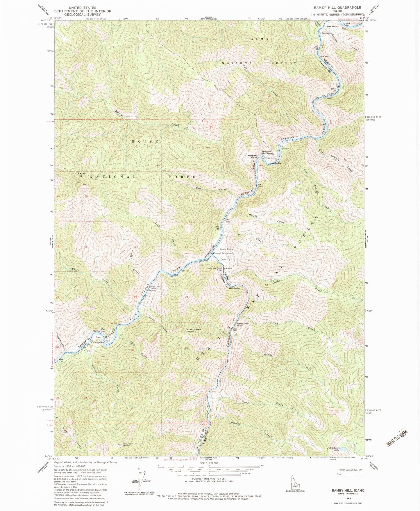
Classic USGS Ramey Hill Idaho 7.5'x7.5' Topo Map
Couldn't load pickup availability
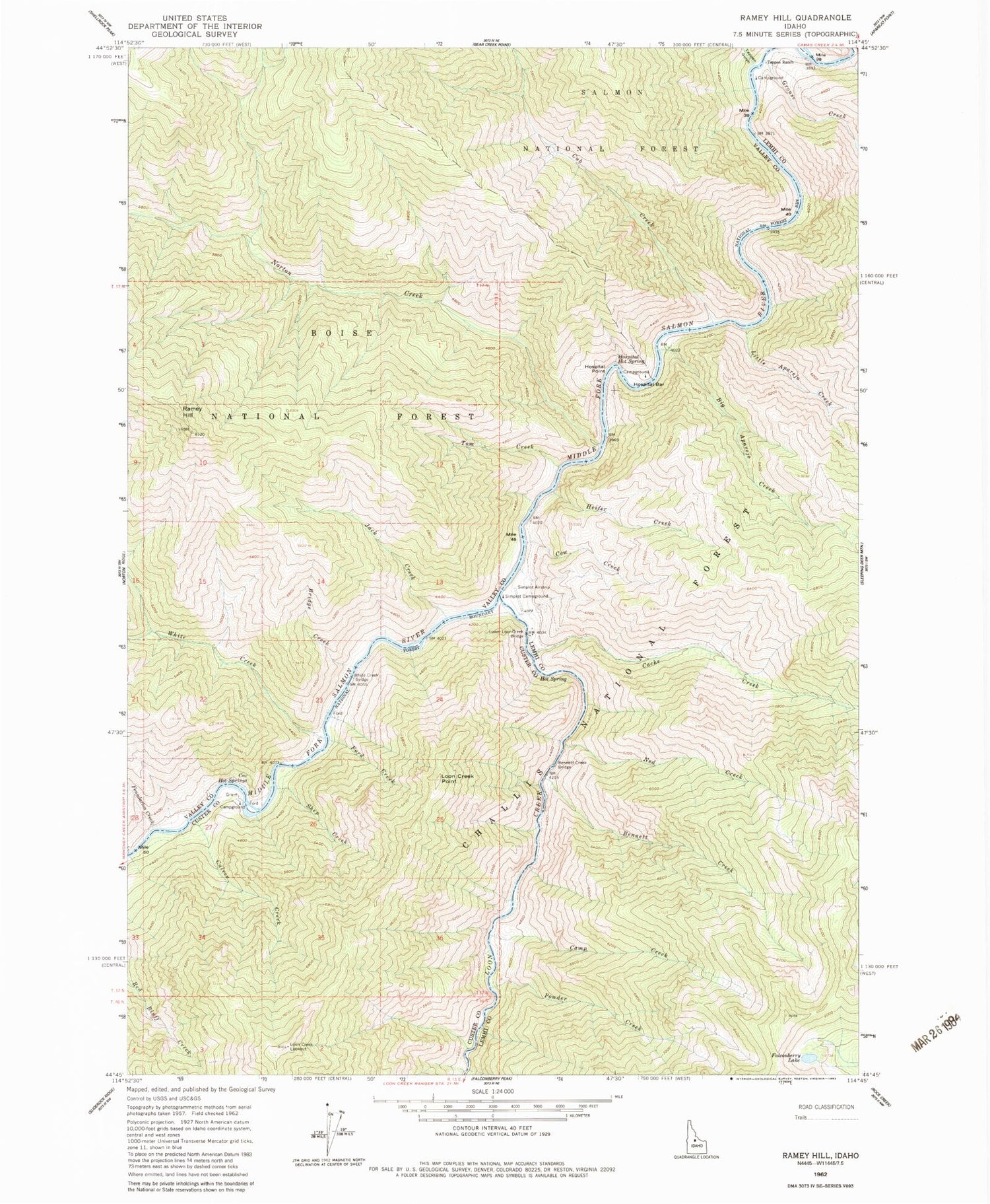
Historical USGS topographic quad map of Ramey Hill in the state of Idaho. Typical map scale is 1:24,000, but may vary for certain years, if available. Print size: 24" x 27"
This quadrangle is in the following counties: Custer, Lemhi, Valley.
The map contains contour lines, roads, rivers, towns, and lakes. Printed on high-quality waterproof paper with UV fade-resistant inks, and shipped rolled.
Contains the following named places: Loon Creek Point, Bennett Creek, Bennett Creek Bridge, Bridge Creek, Cache Creek, Camp Creek, Cow Creek, Cox Hot Springs, Cub Creek, Culver Creek, Falconberry Lake, Ford Creek, Foundation Creek, Grouse Creek, Heifer Creek, Hospital Bar, Hospital Point, Jack Creek, Little Aparejo Creek, Loon Creek Lookout, Lower Loon Creek Bridge, Middle Fork Salmon Wild and Scenic River, Ned Creek, Norton Creek, Powder Creek, Shep Creek, Simplot Campground, Tappan Gulch, Tappan Ranch, Tom Creek, White Creek, White Creek Bridge, Pebble Beach Campsite, Whitey Cox Campground, Cluvewr Creek Campsite, Rock Island Campground, Horsetail Campsite, Hospital Bar Campground, Cave Campsite, Tappan Island Campsite, Lower Grouse Campground, Upper Grouse Campground, Tom Creek Campsite, Cow Creek Campsite, Simplot Ranch, Shelf Campsite, White Creek Campground, Hospital Hot Spring, Ramey Hill, Lower Loon Creek Airport, South Fork White Creek, Big Aparejo Creek


