MyTopo
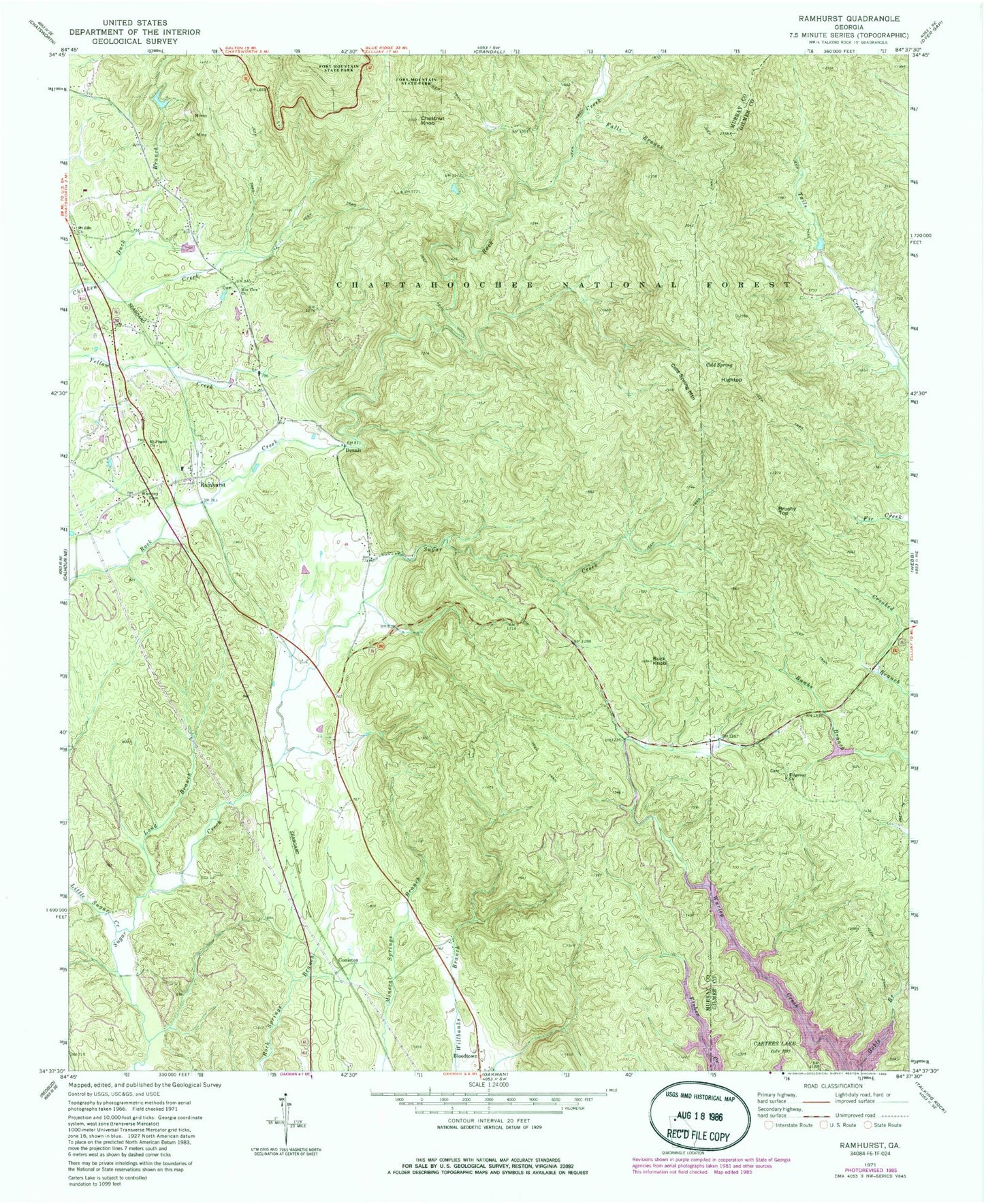
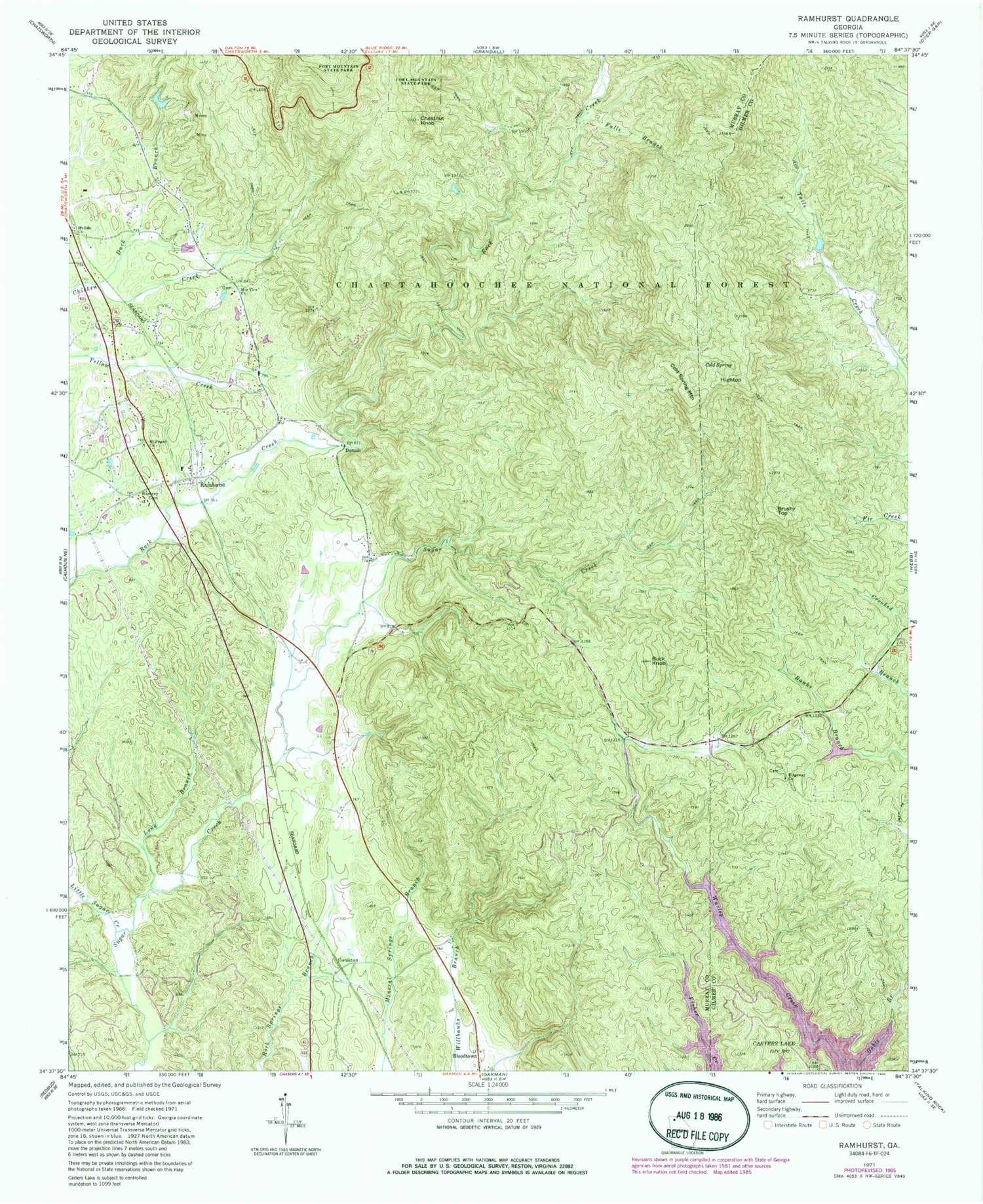
Classic USGS Ramhurst Georgia 7.5'x7.5' Topo Map
Couldn't load pickup availability
Historical USGS topographic quad map of Ramhurst in the state of Georgia. Typical map scale is 1:24,000, but may vary for certain years, if available. Print size: 24" x 27"
This quadrangle is in the following counties: Gilmer, Murray.
The map contains contour lines, roads, rivers, towns, and lakes. Printed on high-quality waterproof paper with UV fade-resistant inks, and shipped rolled.
Contains the following named places: Baker Branch, Bearpen Branch, Cold Spring, Duck Branch, Falls Branch, Little Sugar Creek, Long Branch, Mount Zion Church, Ramsey Cemetery, Ridgeway Church, Bloodtown, Brushy Top, Cold Spring Mountain, Coniston, Dennis, Hightop, Bramlet Mine, Georgia Mine, Hill Wilbanks Memorial Bridge, Old Cohutta Mine, Pickering Mine, Ramhurst Graded School (historical), Miller-Grindley Pond Dam, Miller-Grindley Pond, Mountaintown Creek Watershed Dam Number Four, Corbin Lake, Reed Lake Dam, Reed Lake, Glenn Lake Dam, Glenn Lake, Ramhurst Post Office (historical), Ridgeway School (historical), Buck Knob, Chestnut Knob, Mount Pisgah Church, Mountain View Church, Ramhurst, Chatsworth Division, Murray County Fire Department Station 2, Ridgeway Baptist Church Cemetery


